
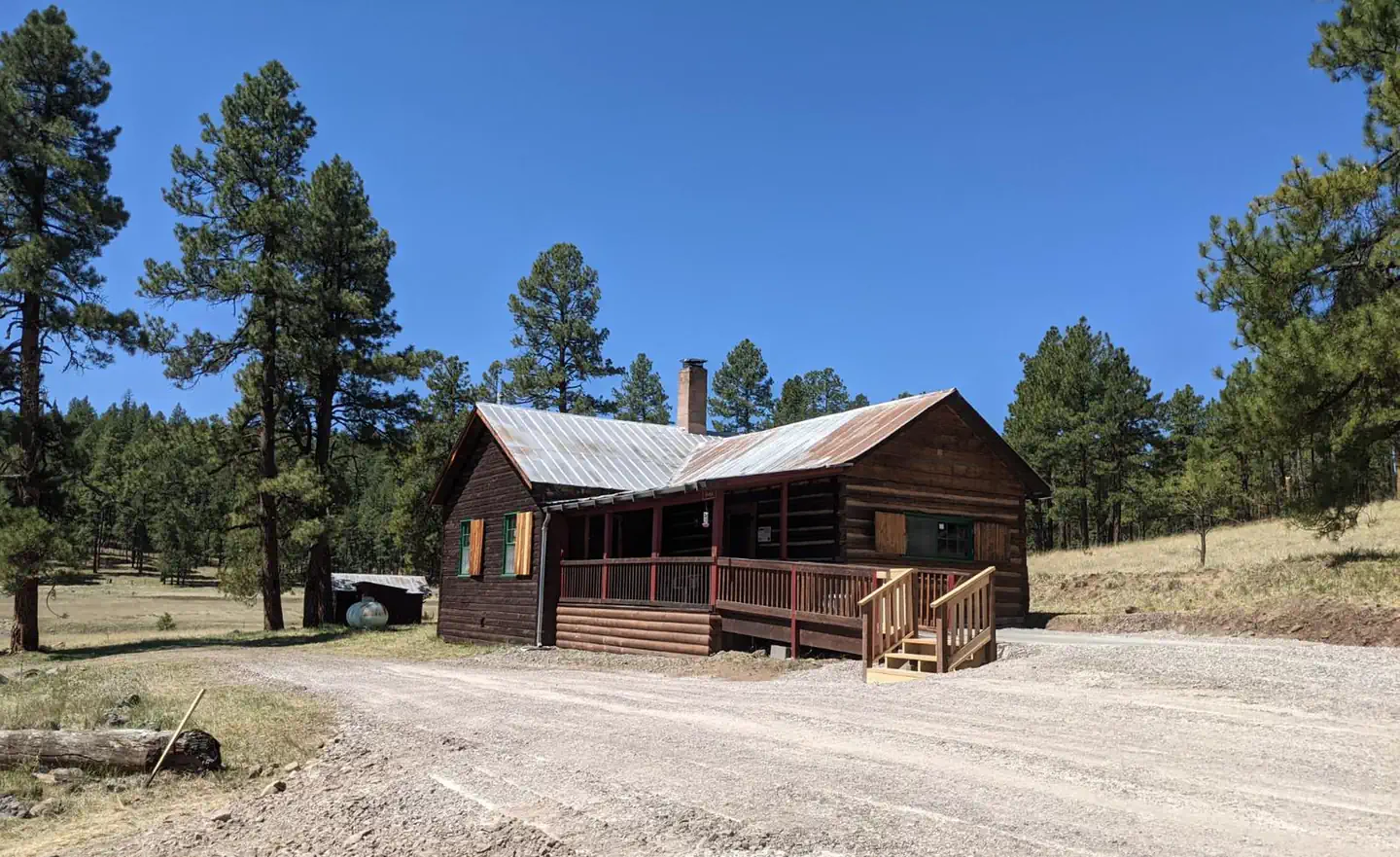
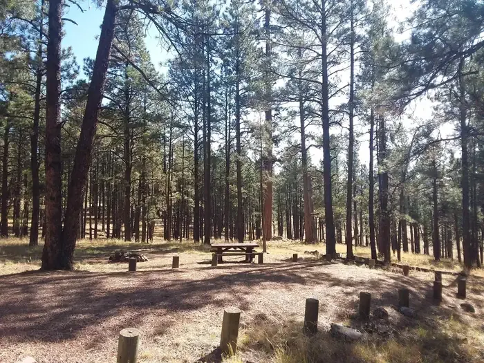
Alpine Village RV Park
Hiking business nearby (~18 mi away) — hasn't claimed their Roamze page yet
Free — you'll pick up right here.
Watch this trail
Sign up to watch it — saving subscribes you to gate, closure and report changes.
Arizona
10.5 mi
Distance
2,791 ft
Gain
4h 54m
Time
We won't guess. Here is exactly what we do and don't know.
What we do know
Inside Apache-Sitgreaves National Forests
2 managing-area boundaries mapped — agency alerts for them feed this page automatically.
Boundary data
What's missing
No access route mapped
We don't yet know which road reaches this trailhead, so we can't tell you if it's gated.
Nobody's filed a report here yet — be the first.
Why you'll love it
Sawmill
AI-suggested draft · review before you go
No permit or access details on file for this trail — check with the local land manager before you go.
The Sawmill Trail is a 10.5-mile out-and-back hike located in Arizona. This route features 2,791 feet of elevation gain, making it a moderately strenuous option for hikers seeking a full day on the trail. The out-and-back format allows you to turn around at any point if needed, giving you flexibility in how far you venture. The significant elevation gain means you'll experience notable changes in terrain and likely shifting scenery as you ascend. This makes the Sawmill Trail suitable for hikers with solid fitness levels and experience on longer, steeper trails. The distance and climbing combine to create a challenging workout that rewards effort with elevation views and varied landscape perspectives. Whether you complete the full 10.5-mile distance or choose a shorter turnaround point, the Sawmill Trail offers a substantial hiking experience in Arizona's backcountry.
Largo
~2 min drive
9.4 mi · Hard
Telephone Short Cut
~4 min drive
1.7 mi · Easy
Yam Canyon Trail
~10 min drive
5.4 mi · Moderate
Trail #114
~12 min drive
Quick, easy walk ideal for families and casual hikers.
Lanphier
~2 min drive
11 mi · Hard
Auger
~11 min drive
2.8 mi · Easy
Tige Canyon Trail
~16 min drive
Steep 6-mile canyon trail with nearly 7,000 ft elevation gain in remote New Mexico.
Dangerous Park Trail
~18 min drive
6.3-mile moderate loop with 635 ft gain through New Mexico high desert.
Old Sawmill
~2 min drive
5.6 mi · Hard
Bonanza Bill
~12 min drive
1.3 mi · Easy
Local operatorsoffering guided trips. You book directly with them — Roamze doesn’t take a cut.
Alpine Village RV Park
Hiking business nearby (~18 mi away) — hasn't claimed their Roamze page yet