Ringtail Trail
- 2.1 mi
- round trip
- 678 ft
- climb
- 2,005 ft
- high point
- Out and back
- route
- Nov–Apr
- best months
Caution at last check
Weather is marginal · OpenWeather · checked 14 h ago
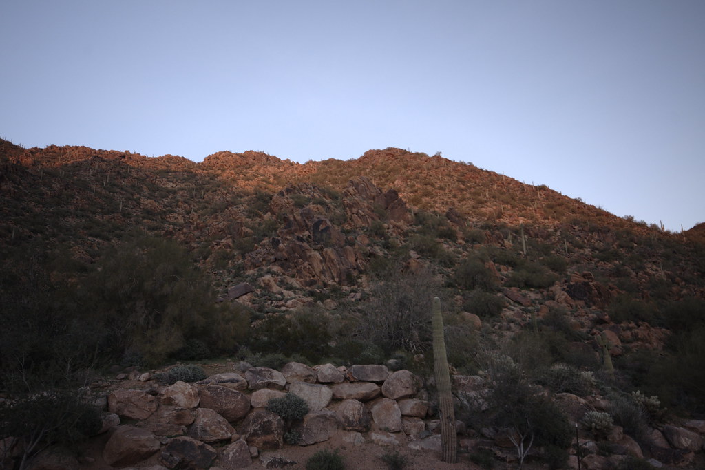
Ringtail Trail is an easy out-and-back hike in the Mcdowell Sonoran Preserve in Arizona, on county land. The trail is about 4.3 miles long, with a total elevation gain of 678 feet, and it starts at roughly 1,732 feet, rising to a high point of about 2,005 feet before returning to the trailhead. The most comfortable months for a visit are typically November and March, when typical averages from the nearby Fountain Hills weather station run around 74°F for highs and 51°F for lows. That station sits about 425 feet lower than the trail's high point, so temperatures on the higher ground run a little cooler. The trip takes about two hours. The trail is close to several other routes, including Lost Dog Wash Trail, Kovach Family Nature Trail and Sunrise Trail, all within a third of a mile. Climbers can find the Upper Wall area about 5.6 miles away.
Local outfitters
- Arizona Desert Mountain Jeep Tours13 mi away
- VIP RV Resort19 mi away
Not on Roamze yet. Their page has how to reach them.
- Lost Dog Wash TrailHiking0.1 mi
- Kovach Family Nature TrailHiking0.2 mi
- Sunrise TrailHiking0.3 mi
 Nature TrailHikingPhoto: William Herron, CC BY-SA 2.0 (via Flickr)1.4 mi
- Upper WallRock climbing5.6 mi
- Hog HeavenRock climbing5.6 mi
- Main WallRock climbing5.6 mi
 Salt RiverCanoeingPhoto: Alan Stark from Goodyear, AZ, United States, CC BY-SA 2.0 (via Wikimedia Commons)8.6 mi
Source: Roamze catalog (indexable pages within 10 miles, PostGIS distance)
- Nature TrailHiking · ~2 min drivePhoto: William Herron, CC BY-SA 2.0 (via Flickr)
 Promenade Trail (Moderate)Hiking · ~4 min drivePhoto: kalestews, CC BY 2.0 (via Flickr)
 Quartz TrailHiking · ~5 min drivePhoto: Leslie Seaton from Seattle, WA, USA, CC BY 2.0 (via Wikimedia Commons)
 Peak SpurHiking · ~3 min drivePhoto: vaxomatic, CC BY 2.0 (via Flickr)
 Desert Park TrailHiking · ~8 min drivePhoto: Bryan Pocius, CC BY 2.0 (via Flickr)
- Sunrise TrailHiking · Next door
- Wilderness Trail (Hard)Hiking · ~5 min drivePhoto: kalestews, CC BY 2.0 (via Flickr)
- Gateway Loop TrailHiking · ~8 min drivePhoto: Bryan Pocius, CC BY 2.0 (via Flickr)
- OverlookHiking · ~5 min drivePhoto: kalestews, CC BY 2.0 (via Flickr)
 East End TrailHiking · ~8 min drivePhoto: leesean, CC BY-SA 2.0 (via Flickr)
Best time to visit Ringtail Trail
Best months: November–April. Best months have typical highs of 55–85 °F, lows of 30 °F or warmer (32 °F where the station doesn't record snow), at most one snowy day and no more than 12 wet days.
Jan
64° / 45°
4 wet
Feb
67° / 46°
4 wet
Mar
74° / 51°
3 wet
Apr
82° / 56°
2 wet
May
91° / 64°
1 wet
Jun
101° / 73°
1 wet
Jul
103° / 80°
3 wet
Aug
102° / 80°
4 wet
Sep
97° / 74°
3 wet
Oct
87° / 63°
2 wet
Nov
74° / 51°
2 wet
Dec
63° / 44°
3 wet
Typical high / low (°F) and days with rain or snow, 1991–2020. Measured at Fountain Hills, AZ, 5.7 mi away at 1,580 ft. Source: NOAA NCEI U.S. Climate Normals 1991–2020.


Map and trail data © OpenStreetMap contributors
