Lost Dog Wash Trail
- 5.7 mi
- round trip
- 458 ft
- climb
- 2,103 ft
- high point
- Out and back
- route
- Nov–Apr
- best months
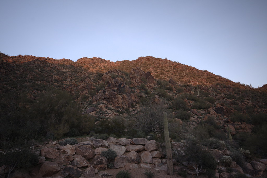
Lost Dog Wash Trail is an easy out-and-back hike of about 5.7 miles, with a high point of 2,103 feet and a low point of 1,714 feet. It is managed by the City of Scottsdale in Arizona, about 2 miles from Taliesin West. The trail is a short, low-effort outing, with an elevation gain of 458 feet. That makes it a good choice for a relaxed walk, and the climb is spread out over the course of the route rather than concentrated in a single stretch. Spring and fall are the most comfortable times to go. Typical averages from a nearby weather station in Fountain Hills show November highs around 74°F and March highs around 74°F, while summer highs climb into the 100s. Bikes and horses are both allowed, so the trail works for riders and equestrians as well as hikers. The Ringtail Trail and Kovach Family Nature Trail start within a quarter mile, and the Sunrise Trail is about 0.4 miles away.
Local outfitters
- Arizona Desert Mountain Jeep Tours13 mi away
- VIP RV Resort19 mi away
Not on Roamze yet. Their page has how to reach them.
- Ringtail TrailHiking0.1 mi
- Kovach Family Nature TrailHiking0.2 mi
- Sunrise TrailHiking0.4 mi
 Nature TrailHikingPhoto: William Herron, CC BY-SA 2.0 (via Flickr)1.4 mi
- Upper WallRock climbing5.6 mi
- Hog HeavenRock climbing5.7 mi
- Main WallRock climbing5.7 mi
 Salt RiverCanoeingPhoto: Alan Stark from Goodyear, AZ, United States, CC BY-SA 2.0 (via Wikimedia Commons)8.5 mi
Source: Roamze catalog (indexable pages within 10 miles, PostGIS distance)
- Nature TrailHiking · ~2 min drivePhoto: William Herron, CC BY-SA 2.0 (via Flickr)
 Promenade Trail (Moderate)Hiking · ~5 min drivePhoto: kalestews, CC BY 2.0 (via Flickr)
 Quartz TrailHiking · ~5 min drivePhoto: Leslie Seaton from Seattle, WA, USA, CC BY 2.0 (via Wikimedia Commons)
 Peak SpurHiking · ~3 min drivePhoto: vaxomatic, CC BY 2.0 (via Flickr)
 Desert Park TrailHiking · ~8 min drivePhoto: Bryan Pocius, CC BY 2.0 (via Flickr)
- Sunrise TrailHiking · Next door
- Wilderness Trail (Hard)Hiking · ~5 min drivePhoto: kalestews, CC BY 2.0 (via Flickr)
- Gateway Loop TrailHiking · ~8 min drivePhoto: Bryan Pocius, CC BY 2.0 (via Flickr)
- OverlookHiking · ~5 min drivePhoto: kalestews, CC BY 2.0 (via Flickr)
 East End TrailHiking · ~8 min drivePhoto: leesean, CC BY-SA 2.0 (via Flickr)
Best time to visit Lost Dog Wash Trail
Best months: November–April. Best months have typical highs of 55–85 °F, lows of 30 °F or warmer (32 °F where the station doesn't record snow), at most one snowy day and no more than 12 wet days.
Jan
64° / 45°
4 wet
Feb
67° / 46°
4 wet
Mar
74° / 51°
3 wet
Apr
82° / 56°
2 wet
May
91° / 64°
1 wet
Jun
101° / 73°
1 wet
Jul
103° / 80°
3 wet
Aug
102° / 80°
4 wet
Sep
97° / 74°
3 wet
Oct
87° / 63°
2 wet
Nov
74° / 51°
2 wet
Dec
63° / 44°
3 wet
Typical high / low (°F) and days with rain or snow, 1991–2020. Measured at Fountain Hills, AZ, 5.7 mi away at 1,580 ft. The station sits about 500 ft lower than this place, so expect it a little cooler here. Source: NOAA NCEI U.S. Climate Normals 1991–2020.


Map and trail data © OpenStreetMap contributors
