Overlook
 Photo: kalestews, CC BY 2.0 (via Flickr)
- 0.3 mi
- round trip
- 280 ft
- climb
- 2,594 ft
- high point
- Out and back
- route
- Oct–Apr
- best months
Overlook is a short hike in Arizona's Mcdowell Sonoran Preserve, a county-managed preserve on county land. The route is an out-and-back of about 0.6 miles, with a one-way climb of 182 feet and a total gain of 280 feet over the round trip. The high point sits at about 2,594 feet, and the steepest stretch comes roughly a fifth of the way up, with an 8% grade. Spring and fall are the most comfortable times to go. Typical averages from the nearby Pinnacle Peak weather station show March highs around 72°F and October highs near 83°F, while July averages climb to about 99°F. The hike takes about half an hour. Promenade Trail (Moderate) starts just 0.1 mile away, and the Andrew/Kinsey Trail (Moderately Difficult) is about 0.3 mile off. For climbers, Upper Wall lies roughly 4.2 miles away.
Local outfitters
- Arizona Desert Mountain Jeep Tours11 mi away
- VIP RV Resort19 mi away
Not on Roamze yet. Their page has how to reach them.
- Promenade Trail (Moderate)HikingPhoto: kalestews, CC BY 2.0 (via Flickr)0.1 mi
- Andrew/Kinsey Trail (Moderately Difficult)Hiking0.3 mi
- Andrews-Kinsey Trail (Moderately Difficult)Hiking0.3 mi
- Western Trail (Hard)Hiking0.3 mi
- Upper WallRock climbing4.2 mi
- Hog HeavenRock climbing4.2 mi
- Main WallRock climbing4.2 mi
- Glass DomeRock climbing4.4 mi
Source: Roamze catalog (indexable pages within 10 miles, PostGIS distance)
- Promenade Trail (Moderate)Hiking · Next doorPhoto: kalestews, CC BY 2.0 (via Flickr)
- RidgelineHiking · Next doorPhoto: kalestews, CC BY 2.0 (via Flickr)
 Quartz TrailHiking · ~7 min drivePhoto: Leslie Seaton from Seattle, WA, USA, CC BY 2.0 (via Wikimedia Commons)
 East End TrailHiking · ~6 min drivePhoto: leesean, CC BY-SA 2.0 (via Flickr)
- Wilderness Trail (Hard)Hiking · ~1 min drivePhoto: kalestews, CC BY 2.0 (via Flickr)
- Sunrise TrailHiking · ~4 min drive
 Gateway Loop TrailHiking · ~8 min drivePhoto: Bryan Pocius, CC BY 2.0 (via Flickr)
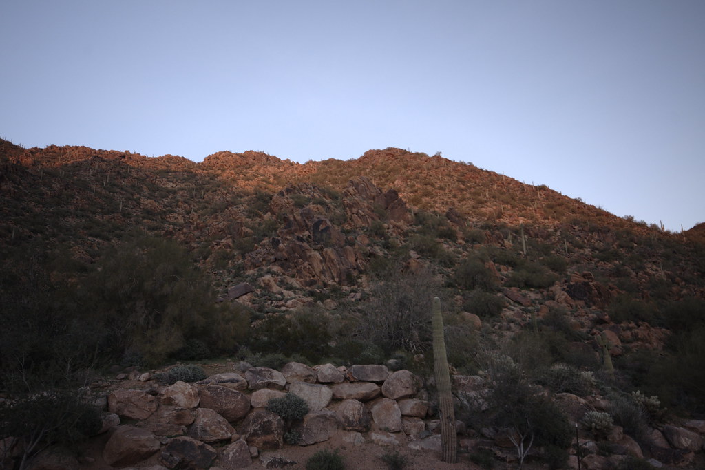 Peak SpurHiking · ~1 min drivePhoto: vaxomatic, CC BY 2.0 (via Flickr)
- Tom's Thumb TrailHiking · ~8 min drive
- Andrew/Kinsey Trail (Moderately Difficult)Hiking · Next door
Best time to visit Overlook
Best months: October–April. Best months have typical highs of 55–85 °F, lows of 30 °F or warmer (32 °F where the station doesn't record snow), at most one snowy day and no more than 12 wet days.
Jan
64° / 43°
Feb
66° / 45°
Mar
72° / 49°
Apr
79° / 54°
May
87° / 62°
Jun
96° / 71°
Jul
99° / 76°
Aug
98° / 75°
Sep
94° / 71°
Oct
83° / 61°
Nov
72° / 50°
Dec
63° / 42°
Typical high / low (°F) and days with rain or snow, 1991–2020. Measured at Pinnacle Peak, AZ, 8.9 mi away at 2,565 ft. This station doesn't record snowfall. Source: NOAA NCEI U.S. Climate Normals 1991–2020.


Map and trail data © OpenStreetMap contributors
