
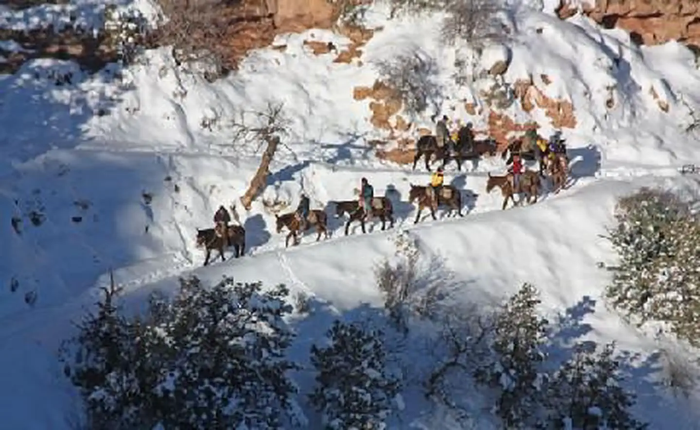

Buck Wild Hummer Tours
Hiking business nearby (~6 mi away) — hasn't claimed their Roamze page yet
Rim Trail - Mather Point
Free — you'll pick up right here.
Watch this trail
Sign up to watch it — saving subscribes you to gate, closure and report changes.
Arizona
We won't guess. Here is exactly what we do and don't know.
What we do know
Inside Grand Canyon National Park
National Park unit boundary is mapped — agency alerts for it feed this page automatically.
Boundary data
What's missing
No access route mapped
We don't yet know which road reaches this trailhead, so we can't tell you if it's gated.
Nobody's filed a report here yet — be the first.
Why you'll love it
Rim Trail - Mather Point
AI-suggested draft · review before you go
No elevation data on file for this trail.
The Rim Trail is a mostly paved path that stretches roughly 13 miles (21 km) along the southern rim of Grand Canyon from South Kaibab Trailhead in the east to Hermits Rest in the west. Most people won't hike the whole trail in one go, but walking short sections of the rim can provide an excellent chance to stretch the legs after a long car ride, take a break from riding the shuttle, or to get away from a busy viewpoint for a moment. No matter how much of it you walk, you'll get lots of good views along the way! One-way Distances from Mather Point along the Rim Trail. South Kaibab Trail - 2.2 miles (3.5 km) Yavapai Geology Museum - 0.7 miles (1 km) Verkamp's Visitor Center - 2.2 miles (3.5 km) Bright Angel Trailhead - 2.5 miles (4 km) Hermits Rest - 11 miles (18 km) Popular Sections Mather Point to Yavapai Geology Museum Length: 0.7 mi (1 km) one way Time: 15–30 minutes Accessibility: Paved, short sections of grade. This short section of the trail is one of the most popular as it is easily accessible from both Mather and Yavapai Points and it offers constant views of Grand Canyon, as well as Phantom Ranch and a glimpse of the Colorado River far below. Even walking part of this section guarentees some great Grand Canyon vistas. Note: When the Kaibab/Rim (Orange) Route shuttle bus is running to Mather Point and the Yavapai Geology Museum it links the two ends of this section for an easy one-way hike. Mather Point to Grand Canyon Historic Village Length: 2.5 mi (4 km) one way Time: 45 minutes to 2 hours Accessibbility: Paved, short sections of grade. (It is largely downhill heading east to west from Mather to the Village) This 2.5 mile stretch of the Rim Trail includes the section above, and expands it west to include the trail to/from the historic village. While you can walk this section in under an hour it is recommended to plan for a longer trip as you'll want to take your time to appreciate all the good views, snag a few pictures, and experience the Trail of Time, which overlaps this section of the rim. The 2 mile (3.5 km) section between Yavapai Geology Museum and the Grand Canyon Historic Village can be hot and sunny in the summer time so be sure to take water, snacks, and sun protection. Water and restrooms are available at the Geology Museum, Grand Canyon Visitor and at multiple spots in the village. This section of the trail is quite popular as well, but offers more opportunities for solitude and quiet moments along the canyon's edge. Note: When the Village (Blue) Route shuttle bus is running transportation will run between the Grand Canyon Visitor Center and the Village to help complete a one-way loop. Grand Canyon Historic Village to Hermits Rest Length: 7 mi (11 km) one way Time: 3+ hours Accessibility: The section between Monuement Creek Vista and Pima Point is paved and accessible, but the rest of the Rim Trail along the Hermit Road is NOT accessible. The rest of the trail is a mix of dirt and paved paths with the paved sections including steep grades and steps. The views along this section of the Rim Trail offer some of the best views of the Colorado River along the Hermit Road and can help get you away from the crowds at the major viewpoints along the way. There is limited water and restrooms availability along the Hermit Road so be prepared for longer hikes. Most hikers will use the shuttle system to jump along the road to do shorter sections of the trail and to return to the beginning of the scenic road. Most of the stops are about 1 mile from each other, though a few are longer, check your Pocket Map for a break down of the Rim Trail from point to point. Note: When the Hermit Rest (Red) Route shuttle bus is running it will stop at each of the major viewpoints and access points along the Rim Trail through this section. Safety - Hike Smart - Take water, snacks, and sun protection with you on your hike. At 7,000 ft (2000 m) in elevation even a hike on the rim can leave you dehydrated, tired, and sun burnt. - Stay on designated trails and walkways and always keep a safe distance of at least six feet (2 m) from the edge of the canyon rim. - In areas where there is a railing or fence, do not climb over the barrier. - Know where the edge is. Watch foot placement and look for trip hazards. - Never throw rocks, coins, trash, or anything else over the edge. - Early summer temperatures can be HOT. Highs will often reach the low to mid 90s oF (...oC) and even the canyon rim can reach temperatures above 100oF (38oC). Check the weather and be prepared. - The late summer season brings rain and thunderstorms to Grand Canyon. Remember, "If it roars, Go indoors". Lightning can and often does strike the edge of the canyon as thunderstorms pass over the area.
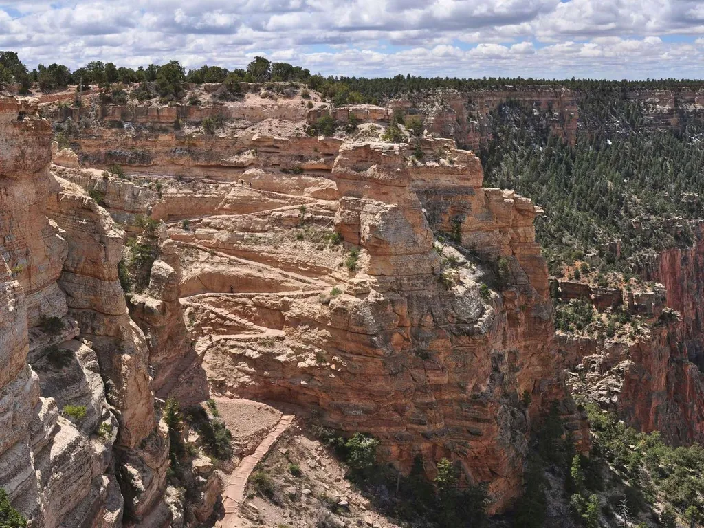
South Kaibab Trail
~3 min drive
Know Before You Go Before heading down into the canyon, consult the signs at the trailhead, and scan the QR code for trip planning, current weather, water availability, and trail information/closures. (or visit our Key Hiking Messages webpage). Trail Reopenings and Current C…
Zuni Trail
~2 min drive
0.3 mi · Easy
South Kaibab Trail
~3 min drive
A 6.49-mile lollipop trail in Arizona connecting to the Bright Angel Toll Road system.
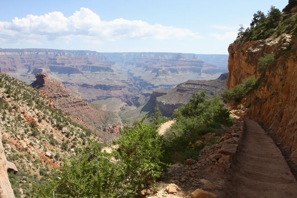
Bright Angel Trail
~3 min drive
The most popular hiking trail into Grand Canyon, the Bright Angel Trail lets hikers walk in the footsteps of the canyon's Indigenous peoples, miners, and early tourists, as they descend into the canyon's depths. Offering outstanding views, morning and afternoon shade, resthous…
Residential Loop
~2 min drive
1.3 mi · Easy
Rim Trail
~3 min drive
26 mi · Hard
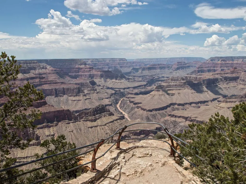
Mohave Point
~6 min drive
Another spectacular point for watching sunset, Mohave Point offers excellent views of the Colorado River deep in the canyon below. From here you can also see the Salt Creek, Granite, and Hermit rapids. Below this viewpoint, 'The Alligator' named by Emery Kolb points across th…
Plateau Point Trail
~3 min drive
2.9 mi · Easy
Bright Angel Trail
~3 min drive
16 mi · Hard
Grandeur Point
~1 min drive
This location offers one of the better views of the layers and depths of the canyon in the area around Grand Canyon Village. It also provides especially fantastic aerial views of the switchbacks on the upper and middle portions of Bright Angel Trail, as well as a view of 3-Mil…
Local operatorsoffering guided trips. You book directly with them — Roamze doesn’t take a cut.
Buck Wild Hummer Tours
Hiking business nearby (~6 mi away) — hasn't claimed their Roamze page yet
Wander Camp
Hiking business nearby (~22 mi away) — hasn't claimed their Roamze page yet