
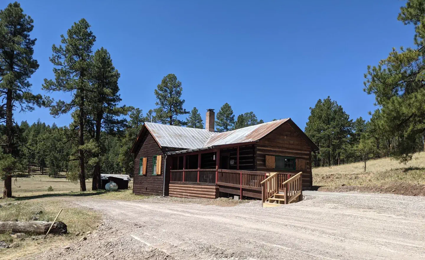
Alpine Village RV Park
Hiking business nearby (~23 mi away) — hasn't claimed their Roamze page yet
Free — you'll pick up right here.
Watch this trail
Sign up to watch it — saving subscribes you to gate, closure and report changes.
Arizona
19.0 mi
Distance
97 ft
Gain
6h 23m
Time
We won't guess. Here is exactly what we do and don't know.
What we do know
Inside Apache-Sitgreaves National Forests
2 managing-area boundaries mapped — agency alerts for them feed this page automatically.
Boundary data
What's missing
No access route mapped
We don't yet know which road reaches this trailhead, so we can't tell you if it's gated.
Nobody's filed a report here yet — be the first.
Why you'll love it
Raspberry
AI-suggested draft · review before you go
No permit or access details on file for this trail — check with the local land manager before you go.
The Raspberry Trail is a 19.0-mile out-and-back hiking route located in Arizona. This trail offers a relatively modest elevation gain of 97 feet, making it accessible for hikers of varying fitness levels despite its substantial distance. The low elevation change combined with the trail's length makes it well-suited for those seeking an extended hiking experience without significant climbing challenges. As an out-and-back trail, hikers will follow the same route returning to their starting point, which allows for flexible turnaround options if needed. The trail's 19-mile total distance means the full trip represents a considerable day hike commitment, so planning accordingly with adequate water, nutrition, and daylight hours is recommended. The Raspberry Trail provides an opportunity to explore Arizona's landscape with relatively gentle terrain. Whether you're looking for a long, leisurely hike or building endurance for more challenging trails, this route offers a straightforward option for outdoor enthusiasts in the Arizona region.
Mckittrick
~1 min drive
12 mi · Hard
Blue Cabin Ruins
~1 min drive
5.3 mi · Moderate
Sheep Saddle
~10 min drive
3.0 mi · Easy
Highline
~3 min drive
A 35-mile high desert traverse with moderate elevation gain and expansive vistas.
Hagan Corral
~6 min drive
5.7 mi · Moderate
Grant Cabin Shortcut
~11 min drive
1.1 mi · Easy
East Eagle
~3 min drive
22 mi · Hard
Kp Rim
~7 min drive
2.9 mi · Moderate
P-Bar Lake
~12 min drive
1.9 mi · Easy
Lengthy Canyon
~4 min drive
6.8 mi · Hard
Local operatorsoffering guided trips. You book directly with them — Roamze doesn’t take a cut.
Alpine Village RV Park
Hiking business nearby (~23 mi away) — hasn't claimed their Roamze page yet