Pueblo Color Wash Trail
- 0.7 mi
- round trip
- 11 ft
- climb
- Out and back
- route
- Easy
- difficulty
- May–Jun, Sep–Oct
- best months
Is Pueblo Color Wash Trail open right now?
Alert in the area
The National Park Service lists an alert for Hubbell Trading Post National Historic Site.
Weather Advisory and Storm Warnings
Park alert covering Hubbell Trading Post National Historic Site · NPS · Hubbell Trading Post National Historic Site
As of · Source: NPS · Hubbell Trading Post National Historic Site. Agencies don't list every closure — check before you go.
Pueblo Color Wash Trail is a short out-and-back hike in Arizona managed by the National Park Service. The trail is 1.34 miles long with 11 feet of elevation gain.
- Nearby · White House Trail · Petrified Forest National Wilderness Area: North Unit · Large loop of the High Desert Trail System
Best time to go · May–Jun, Sep–Oct
Best time to visit Pueblo Color Wash Trail
Best months: May–June and September–October. Best months have typical highs of 55–85 °F, lows of 30 °F or warmer (32 °F where the station doesn't record snow), at most one snowy day and no more than 12 wet days.
Jan
44° / 18°
Feb
49° / 20°
Mar
58° / 27°
Apr
65° / 31°
May
74° / 40°
Jun
85° / 49°
Jul
89° / 56°
Aug
87° / 56°
Sep
80° / 48°
Oct
69° / 35°
Nov
55° / 25°
Dec
45° / 18°
Typical high / low (°F) and days with rain or snow, 1991–2020. Measured at Ganado, AZ, 0.1 mi away at 6,340 ft. We don't have this place's elevation, so higher spots nearby can run cooler. This station doesn't record snowfall. Source: NOAA NCEI U.S. Climate Normals 1991–2020.
Keep exploring — more trails worth the drive
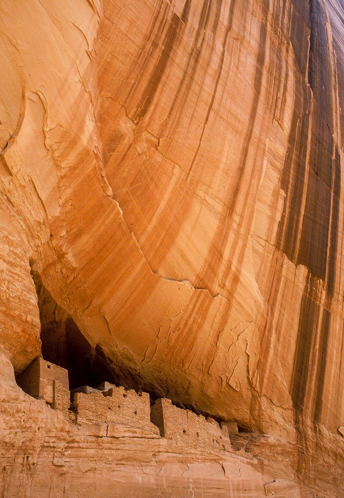 Photo: Jon Gudorf Photography — CC BY-SA 2.0 (via Flickr)
White House Trail
~50 min drive
2.70-mile out-and-back trail in Arizona with 817 ft elevation gain.
 Photo: Mary P Madigan, CC BY 2.0 (via Flickr)
Petrified Forest National Wilderness Area: North Unit
~1h 13m drive
Petrified Forest National Wilderness Area was designated on October 23, 1970. There are two units, one in the south and one in the north, both comprising 50,260 acres—most in the red part of the Painted Desert. As a designated wilderness area, there are no roads, trails, motor…
HIKE
Large loop of the High Desert Trail System
~1h 16m drive
5.43-mile loop in New Mexico with 601 ft elevation gain and loss.
 Photo: Ronnie Macdonald, CC BY 2.0 (via Flickr)
Concrete Sidewalk
~52 min drive
Easy 0.90-mile out-and-back walk in Arizona.
HIKE
Off the Beaten Path Onyx Bridge Route Stop 3
~1h 17m drive
From here the path hooks to the left, still an obvious trail, with a small dry wash (a watercourse that only holds water during rain or other precipitation). This wash goes to your left and right as you move further along the path.
HIKE
Northeastern portion of High Desert Trail System
~1h 18m drive
7.32-mile out-and-back trail in New Mexico's High Desert Trail System with 678 ft elevation gain
 Photo: Navin75, CC BY-SA 2.0 (via Flickr)
Tawa Trail
~1h 19m drive
2.08-mile out-and-back hike in Arizona with 140 ft elevation gain
 Photo: dconvertini, CC BY-SA 2.0 (via Flickr)
Off the Beaten Path Onyx Bridge Route Stop 1
~1h 18m drive
Park at the Painted Desert Inn National Historic Landmark (2 miles from the north entrance of the park). If you know where to look, you can actually see Onyx Bridge from the overlook. Looking at the inn from the parking lot, the trail begins with steps to the left just behind…
HIKE
Cleopatra Needle Trail
~1h 1m drive
2.24-mile out-and-back trail in New Mexico with 117 ft elevation gain
Photo: Navin75, CC BY-SA 2.0 (via Flickr)Tawa Point
~1h 18m drive
This overlook has a parking lot with some pull through sites, bike rack, wayside exhibits, a scenic view of the red part of the Painted Desert, and two trailheads. Trails from this spot include the Painted Desert Rim Trail and the Tawa Trail. The point is named for Tawa, the H…

