
OK RV Park
Hiking business nearby (~24 mi away) — hasn't claimed their Roamze page yet
Off the Beaten Path Onyx Bridge Route Stop 3
Free — you'll pick up right here.
Watch this trail
Sign up to watch it — saving subscribes you to gate, closure and report changes.
Arizona
We won't guess. Here is exactly what we do and don't know.
What we do know
Inside Petrified Forest National Park
National Park unit boundary is mapped — agency alerts for it feed this page automatically.
Boundary data
What's missing
No access route mapped
We don't yet know which road reaches this trailhead, so we can't tell you if it's gated.
Nobody's filed a report here yet — be the first.
Off the Beaten Path Onyx Bridge Route Stop 3
AI-suggested draft · review before you go
No elevation data on file for this trail.
From here the path hooks to the left, still an obvious trail, with a small dry wash (a watercourse that only holds water during rain or other precipitation). This wash goes to your left and right as you move further along the path.
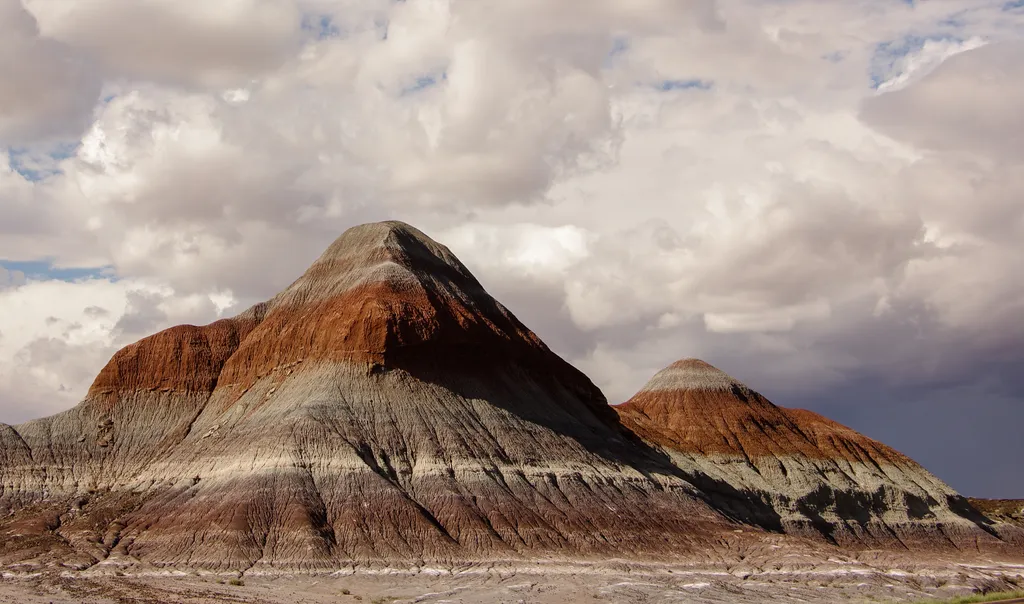
The Tepees North Pullout
~17 min drive
The Tepees is a area of the park named for the conical hills with banded mudstones that were thought to resemble tepees—or tipis as some people spell it. Tipis are not part of the culture in this region, but some Navajos have pointed out one of the hills that resembles a male…
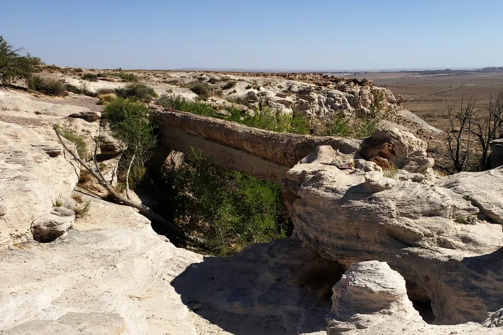
Agate Bridge
~23 min drive
Agate Bridge, original called Natural Bridge, is a partially exposed petrified log spanning a gully at Agate Mesa, forming a “bridge”. This landmark has long been one of the most popular attractions in Petrified Forest since the beginning and in the early history of the park m…
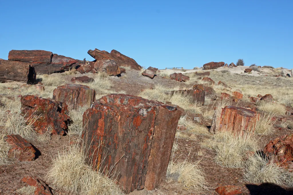
Giant Logs
~33 min drive
Giant Logs is part of Rainbow Forest in Petrified Forest National Park. Once an ancient log jam in a Late Triassic river, Giant Logs was the heart of the original national monument set aside in 1906 by President Theodore Roosevelt. This area is located behind the Rainbow Fores…
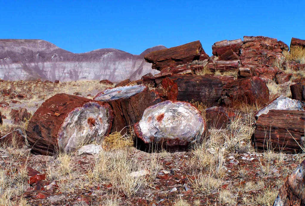
Long Logs Trail
~34 min drive
Length: 1.6 mile (2.5 km) loop Trailhead: Rainbow Forest Museum parking area Long Logs is one of the largest concentrations of petrified wood in the park. Explore this ancient log jam at the base of gray badlands. Please leave petrified wood for others to enjoy. Report any rem…
Off the Beaten Path Onyx Bridge Route Stop 1
~1 min drive
Park at the Painted Desert Inn National Historic Landmark (2 miles from the north entrance of the park). If you know where to look, you can actually see Onyx Bridge from the overlook. Looking at the inn from the parking lot, the trail begins with steps to the left just behind…
Tawa Point
~1 min drive
This overlook has a parking lot with some pull through sites, bike rack, wayside exhibits, a scenic view of the red part of the Painted Desert, and two trailheads. Trails from this spot include the Painted Desert Rim Trail and the Tawa Trail. The point is named for Tawa, the H…
Petrified Forest National Wilderness Area: North Unit
~5 min drive
Petrified Forest National Wilderness Area was designated on October 23, 1970. There are two units, one in the south and one in the north, both comprising 50,260 acres—most in the red part of the Painted Desert. As a designated wilderness area, there are no roads, trails, motor…
Puerco Pueblo
~13 min drive
Puerco Pueblo is located at mile marker 11 (11 miles from the north entrance of Petrified Forest National Park), the only ancestral Puebloan village that is easily accessible to the public. The 1/3 of a mile loop trail meanders through the ancient site, complete with exhibits…
The Tepees South Pullout
~17 min drive
The Tepees is a area of the park named for the conical hills with banded mudstones that were thought to resemble tepees—or tipis as some people spell it. Tipis are not part of the culture in this region, but some Navajos have pointed out one of the hills that resembles a male…
Blue Mesa Trail
~18 min drive
Length: 1 mile (1.6 km) loop Trailhead: Blue Mesa sun shelter Descending from the mesa, this alternately paved and gravel trail loop offers the unique experience of hiking among badland hills of bluish bentonite clay as well as petrified wood. Numerous plant and animal fossils…
Local operatorsoffering guided trips. You book directly with them — Roamze doesn’t take a cut.
OK RV Park
Hiking business nearby (~24 mi away) — hasn't claimed their Roamze page yet