Pueblo Canyon
- 1.0 mi
- loop
- 1,633 ft
- climb
- 5,445 ft
- high point
- Loop
- route
- Mar–May, Sep–Nov
- best months
Caution today
Agency alerts are in effect for this area; weather is good · USFS, OpenWeather · checked just now
Is Pueblo Canyon open right now?
Alert in the area
The Forest Service lists 4 alerts for Tonto National Forest.
Rattlesnake Cove Developed Recreation Site - Post Flood Recovery and Public Safety Closure
Agency alert covering Tonto National Forest · Order 3-12-01-26-36 · USFS · Tonto National Forest
Canyon Lake Drawdown Public Safety Closure
Agency alert covering Tonto National Forest · Order 03-12-00-26-22 · USFS · Tonto National Forest
No Fire Restrictions
Agency alert covering Tonto National Forest · USFS · Tonto National Forest
Roosevelt Lake Seasonal Wildlife Closure
Agency alert covering Tonto National Forest · Order 12-16-5 · USFS · Tonto National Forest
As of · Source: USFS · Tonto National Forest. Agencies don't list every closure — check before you go.
Pueblo Canyon is a 1-mile hike in Arizona's Sierra Ancha Wilderness, within the Pleasant Valley Ranger District of Tonto National Forest. The Forest Service manages the land, and the route rises from about 5,238 feet to a high point of 5,445 feet, with a total elevation gain of 1,633 feet. The climb is moderate, and the steepest stretch comes early, at about 0.21 miles in, where the grade reaches 56 percent. Spring and fall are the most comfortable times to go. Typical averages from a nearby weather station in Pleasant Valley show May highs around 76°F and October highs around 72°F, while July and August bring the most wet days, about nine and ten a month. The trip takes about an hour. Murphy, Lucky Strike and Devil's Chasm Trail all lie within about 2 miles, and Reynolds Creek Group Campground is roughly 6 miles away.
Local outfitters
- Arizona Desert Mountain Jeep Tours49 mi away
- VIP RV Resort49 mi away
Not on Roamze yet. Their page has how to reach them.
- MurphyHiking1.5 mi
- Lucky StrikeHiking1.7 mi
- Devil's Chasm TrailHiking1.8 mi
- Reynolds CreekHiking2 mi
- Workman FallsRock climbing3.2 mi
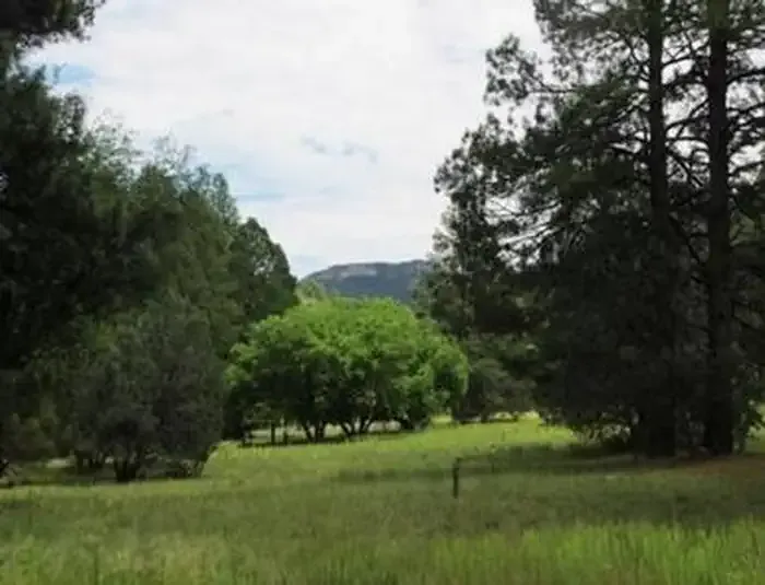 Reynolds Creek Group CampgroundCampingPhoto: Recreation.gov (RIDB) / public domain5.9 mi
- IceboxRock climbing7.5 mi
- Cherry CreekCanoeing9.2 mi
Source: Roamze catalog (indexable pages within 10 miles, PostGIS distance)
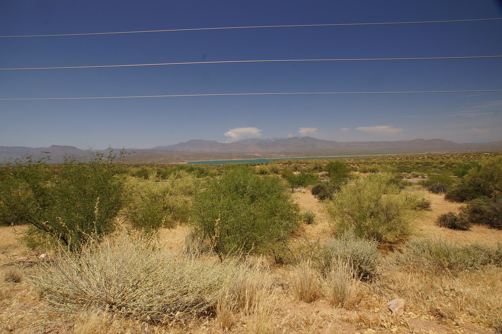 old Apache TrailHiking · ~31 min drivePhoto: jtstewart, CC BY-SA 2.0 (via Flickr)
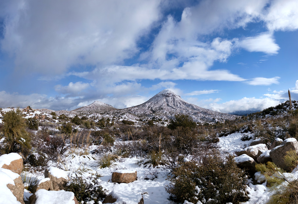 Old Apache TrailHiking · ~35 min drivePhoto: squeaks2569, CC BY-SA 2.0 (via Flickr)
 Arizona TrailHiking · ~33 min drivePhoto: This illustration was made by Peter Potrowl.
Please credit this with : © Peter Potrowl in the immediate vicinity of the image. A link to my website sitemai.eu would be much appreciated but isn't mandatory.
An email to
Peter Potrowl would be appreciated too.
Do not copy this image illegally by ignoring the terms of the license below, as it is not in the public domain.
If you would like special permission to use, license, or purchase the image please contact me Peter Potrowl to negotiate terms.
More free pictures in my website. Donations are accepted here and here., CC BY-SA 3.0 (via Wikimedia Commons)
- RimHiking · ~6 min drive
 CottonwoodHiking · ~32 min drivePhoto: squeaks2569, CC BY-SA 2.0 (via Flickr)
- MurphyHiking · ~3 min drive
- Lucky StrikeHiking · ~3 min drive
- BoyerHiking · ~15 min drive
- Sue Mine TrailHiking · ~10 min drive
- Devil's Chasm TrailHiking · ~3 min drive
Best time to visit Pueblo Canyon
Best months: March–May and September–November. Best months have typical highs of 55–85 °F, lows of 30 °F or warmer (32 °F where the station doesn't record snow), at most one snowy day and no more than 12 wet days.
Jan
53° / 25°
5 wet
Feb
56° / 27°
5 wet · 1 snow
Mar
61° / 31°
5 wet
Apr
68° / 36°
3 wet
May
76° / 42°
3 wet
Jun
86° / 49°
3 wet
Jul
88° / 59°
9 wet
Aug
87° / 59°
10 wet
Sep
82° / 52°
6 wet
Oct
72° / 40°
3 wet
Nov
62° / 30°
3 wet
Dec
52° / 25°
4 wet
Typical high / low (°F) and days with rain or snow, 1991–2020. Measured at Pleasant Valley, AZ, 18.5 mi away at 5,183 ft. Source: NOAA NCEI U.S. Climate Normals 1991–2020.
Map and trail data © OpenStreetMap contributors
