Pedersen Trail
- 4.4 mi
- round trip
- 421 ft
- climb
- 1,499 ft
- high point
- Out and back
- route
- Nov–Mar
- best months
Pedersen Trail is an out-and-back hike in Estrella Mountain Regional Park in Arizona, a regional agency land unit managed as part of the park. The route is about 8.8 miles long, with a total elevation gain of 421 feet, and the high point reaches about 1,499 feet. The trail starts at roughly 1,482 feet, and the steepest stretch comes early, with a 5% grade at about 0.16 miles in. The most comfortable months for a visit are typically November and February, when typical averages from a nearby weather station run from highs around 76°F to 71°F and lows near 50°F. Summer is hot, with typical July highs around 107°F, and the station sits a few hundred feet lower than the trail's high point, so temperatures on the higher ground run a little cooler. The hike takes about 3 hours. Nearby options include Hayes Peak Trail, about 4.5 miles away, Rainbow Valley Trail at about 5.1 miles, and Corgett Trail at about 5.4 miles. Estrella Mountain Regional Park itself is about 5.9 miles from the trail.
Local outfitters
- Saddle Mountain RV Park36 mi away
- VIP RV Resort46 mi away
Not on Roamze yet. Their page has how to reach them.
- Hayes Peak TrailHiking4.5 mi
- Rainbow Valley TrailHiking5.1 mi
- Corgett TrailHiking5.4 mi
- Estrella Mountain Regional ParkHiking5.9 mi
- Cicada TrailHiking5.9 mi
- Coyote CreekHiking5.9 mi
- Estrella Loop Trail (Market)Hiking6.2 mi
- Estrella Loop Trail (D-Votion)Hiking6.5 mi
Source: Roamze catalog (indexable pages within 10 miles, PostGIS distance)
 Cypress Ridge Community Walking TrailHiking · ~21 min drivePhoto: Ken Lund from Reno, Nevada, USA, CC BY-SA 2.0 (via Wikimedia Commons)
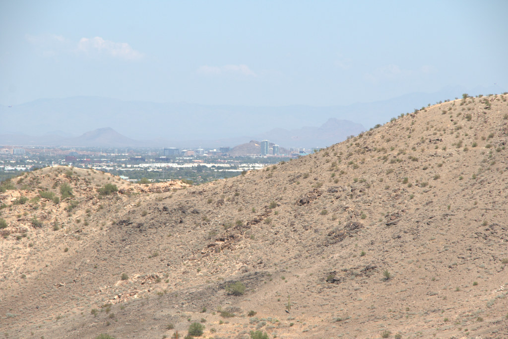 Hau'pal Loop TrailHiking · ~26 min drivePhoto: Ktr101, CC BY-SA 2.0 (via Flickr)
 Ranger TrailHiking · ~26 min drivePhoto: squeaks2569, CC BY-SA 2.0 (via Flickr)
- Bajada TrailHiking · ~25 min drivePhoto: squeaks2569, CC BY-SA 2.0 (via Flickr)
- Coyote CreekHiking · ~10 min drive
- Hayes Peak TrailHiking · ~8 min drive
- Max Delta TrailHiking · ~26 min drivePhoto: Ktr101, CC BY-SA 2.0 (via Flickr)
- Bursera TrailHiking · ~22 min drive
- Estrella Mountain Regional ParkHiking · ~10 min drive
- Rainbow Valley TrailHiking · ~9 min drive
Best time to visit Pedersen Trail
Best months: November–March. Best months have typical highs of 55–85 °F, lows of 30 °F or warmer (32 °F where the station doesn't record snow), at most one snowy day and no more than 12 wet days.
Jan
67° / 43°
3 wet
Feb
71° / 45°
3 wet
Mar
79° / 51°
2 wet
Apr
87° / 56°
1 wet
May
96° / 66°
1 wet
Jun
106° / 75°
1 wet
Jul
107° / 81°
2 wet
Aug
106° / 81°
3 wet
Sep
101° / 74°
2 wet
Oct
89° / 61°
2 wet
Nov
76° / 50°
2 wet
Dec
66° / 42°
3 wet
Typical high / low (°F) and days with rain or snow, 1991–2020. Measured at Laveen 3 Sse, AZ, 12 mi away at 1,135 ft. Source: NOAA NCEI U.S. Climate Normals 1991–2020.
Map and trail data © OpenStreetMap contributors
