Noso Trail
 Photo: kevin dooley, CC BY 2.0 (via Flickr)
- 1.0 mi
- round trip
- 126 ft
- climb
- 1,894 ft
- high point
- Out and back
- route
- Nov–Apr
- best months
Noso Trail is a short, easy hike in Usery Mountain Regional Park in Arizona, on land managed by a regional agency. The route is an out-and-back that starts and ends at about 1,774 feet, with a high point of about 1,894 feet roughly 2 miles from the start. The climb is front-loaded, with the steepest section at about 0.7 miles, and the total gain and loss each run about 126 feet. Spring and fall are the most comfortable times to go. Typical averages from a nearby weather station show November highs around 77°F with lows near 48°F, while May runs about 94°F. That station sits a few hundred feet lower than the trail, so temperatures on the trail run slightly cooler. Several other trails start close by. Amigos Wash Trail is about 0.1 mile away, Crismon Wash Trail about 0.4 mile, and Nighthawk Wash Trail about 0.5 mile. For climbing, Greevers' Needle is about 3.8 miles off.
Local outfitters
- VIP RV Resort4 mi away
- Arizona Desert Mountain Jeep Tours23 mi away
Not on Roamze yet. Their page has how to reach them.
- Amigos Wash TrailHikingPhoto: kevin dooley, CC BY 2.0 (via Flickr)0.1 mi
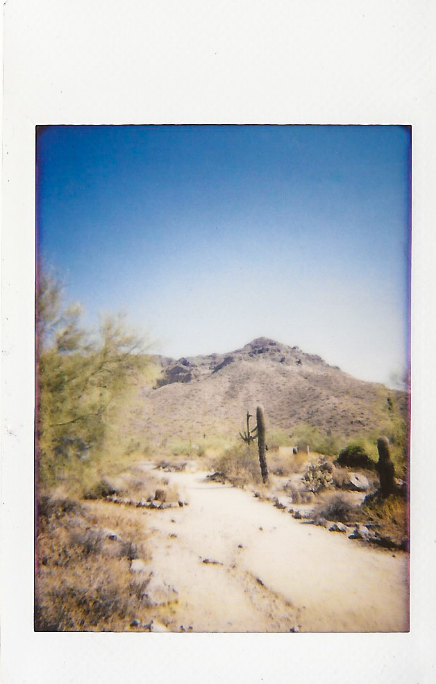 Crismon Wash TrailHikingPhoto: kevin dooley, CC BY 2.0 (via Flickr)0.4 mi
- Nighthawk Wash TrailHiking0.5 mi
- Channel TrailHikingPhoto: kevin dooley, CC BY 2.0 (via Flickr)0.5 mi
 Greevers' NeedleRock climbingPhoto: Z Glyph, CC BY 3.0 (via Wikimedia Commons)3.8 mi
- Larry ForbisCamping7.1 mi
 Suction GullyRock climbingPhoto: The3dStudioDotCom, CC BY-SA 3.0 (via Wikimedia Commons)8.2 mi
 Forrest SpiresRock climbingPhoto: The3dStudioDotCom, CC BY-SA 3.0 (via Wikimedia Commons)8.2 mi
Source: Roamze catalog (indexable pages within 10 miles, PostGIS distance)
- Amigos Wash TrailHiking · Next doorPhoto: kevin dooley, CC BY 2.0 (via Flickr)
- Pass Mountain LoopHiking · ~2 min drivePhoto: kevin dooley, CC BY 2.0 (via Flickr)
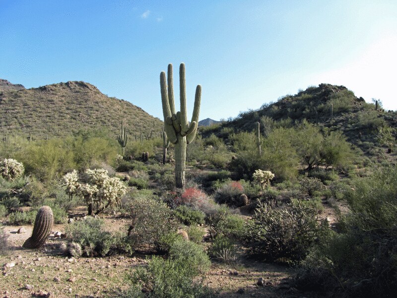 Wind CaveHiking · ~3 min drivePhoto: homeredwardprice, CC BY 2.0 (via Flickr)
- Crismon Wash TrailHiking · Next doorPhoto: kevin dooley, CC BY 2.0 (via Flickr)
 Pass Mountain TrailHiking · ~3 min drivePhoto: kevin dooley, CC BY 2.0 (via Flickr)
- Wind Cave TrailHiking · ~3 min drivePhoto: homeredwardprice, CC BY 2.0 (via Flickr)
- Channel TrailHiking · Next doorPhoto: kevin dooley, CC BY 2.0 (via Flickr)
- Bulldog Saddle TrailHiking · ~5 min drive
 Levee TrailHiking · ~1 min drivePhoto: kevin dooley, CC BY 2.0 (via Flickr)
- Pass Mountain Summmit TrailHiking · ~5 min drive
Also worth it near here
Best time to visit Noso Trail
Best months: November–April. Best months have typical highs of 55–85 °F, lows of 30 °F or warmer (32 °F where the station doesn't record snow), at most one snowy day and no more than 12 wet days.
Jan
68° / 41°
4 wet
Feb
70° / 43°
4 wet
Mar
77° / 48°
3 wet
Apr
85° / 53°
1 wet
May
94° / 62°
1 wet
Jun
104° / 71°
1 wet
Jul
106° / 79°
4 wet
Aug
105° / 78°
5 wet
Sep
100° / 71°
4 wet
Oct
90° / 59°
2 wet
Nov
77° / 48°
2 wet
Dec
66° / 40°
4 wet
Typical high / low (°F) and days with rain or snow, 1991–2020. Measured at E Mesa, AZ, 3.1 mi away at 1,518 ft. This station doesn't record snowfall. Source: NOAA NCEI U.S. Climate Normals 1991–2020.

Map and trail data © OpenStreetMap contributors
