Moody Point
- 16.5 mi
- round trip
- 5,213 ft
- climb
- 7,271 ft
- high point
- Out and back
- route
Caution today
Agency alerts are in effect for this area; weather is marginal · USFS, OpenWeather · checked just now
Is Moody Point open right now?
Alert in the area
The Forest Service lists 4 alerts for Tonto National Forest.
Rattlesnake Cove Developed Recreation Site - Post Flood Recovery and Public Safety Closure
Agency alert covering Tonto National Forest · Order 3-12-01-26-36 · USFS · Tonto National Forest
Canyon Lake Drawdown Public Safety Closure
Agency alert covering Tonto National Forest · Order 03-12-00-26-22 · USFS · Tonto National Forest
No Fire Restrictions
Agency alert covering Tonto National Forest · USFS · Tonto National Forest
Roosevelt Lake Seasonal Wildlife Closure
Agency alert covering Tonto National Forest · Order 12-16-5 · USFS · Tonto National Forest
As of · Source: USFS · Tonto National Forest. Agencies don't list every closure — check before you go.
Moody Point is a hard out-and-back hike in the Pleasant Valley Ranger District of Tonto National Forest, in Arizona, about 16.5 miles long with an elevation gain of 5,213 feet. The route climbs from a low point of about 2,970 feet to a high of about 7,271 feet, so plan for a long day on natural-surface trail. The Forest Service manages the land. The hike is open year-round, and the trip is its own destination rather than a side stop on a longer route. The climb is steep, and the high point makes this a mountain-top objective. Devil's Chasm Trail and Donna Lee Trail both lie within about 2.5 miles, and Sue Mine Trail is about 3.2 miles away. For climbing, Workman Falls is roughly 6 miles off.
- Devil's Chasm TrailHiking2.5 mi
- Donna Lee TrailHiking2.6 mi
- Sue Mine TrailHiking3.2 mi
- Deep CreekHiking3.8 mi
- MurphyHiking4.1 mi
- Workman FallsRock climbing6 mi
- IceboxRock climbing8.7 mi
 Reynolds Creek Group CampgroundCampingPhoto: Recreation.gov (RIDB) / public domain10 mi
Source: Roamze catalog (indexable pages within 10 miles, PostGIS distance)
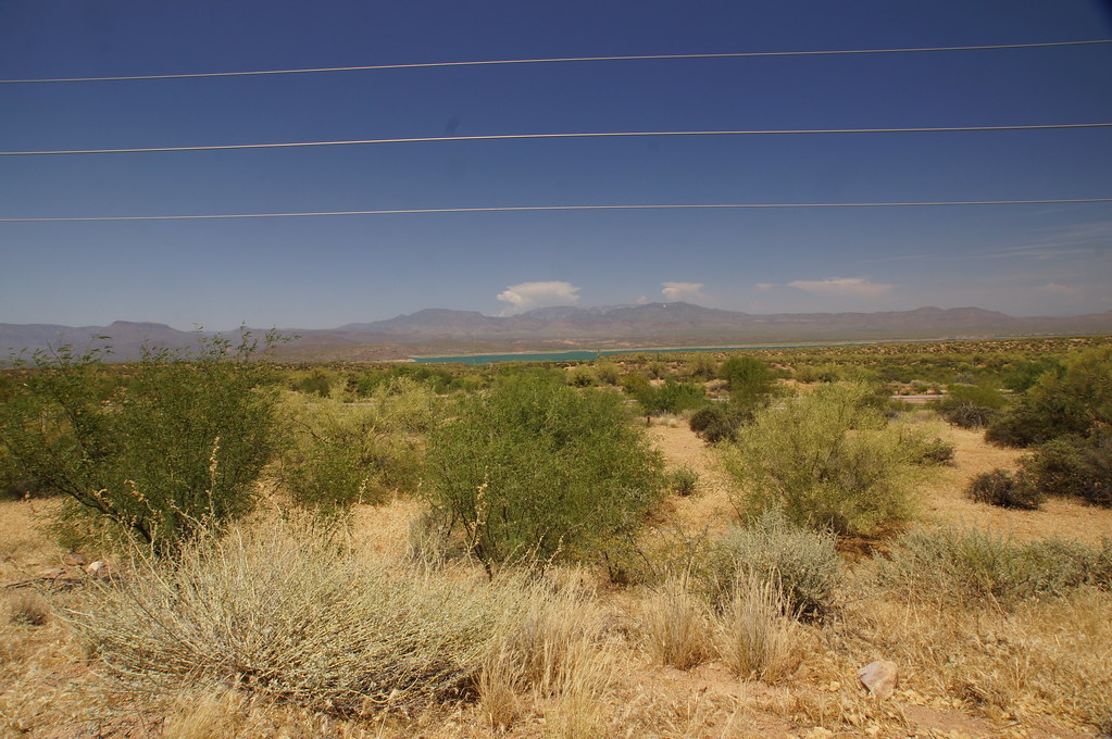 old Apache TrailHiking · ~31 min drivePhoto: jtstewart, CC BY-SA 2.0 (via Flickr)
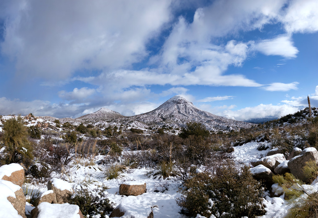 Old Apache TrailHiking · ~31 min drivePhoto: squeaks2569, CC BY-SA 2.0 (via Flickr)
 Arizona TrailHiking · ~35 min drivePhoto: This illustration was made by Peter Potrowl.
Please credit this with : © Peter Potrowl in the immediate vicinity of the image. A link to my website sitemai.eu would be much appreciated but isn't mandatory.
An email to
Peter Potrowl would be appreciated too.
Do not copy this image illegally by ignoring the terms of the license below, as it is not in the public domain.
If you would like special permission to use, license, or purchase the image please contact me Peter Potrowl to negotiate terms.
More free pictures in my website. Donations are accepted here and here., CC BY-SA 3.0 (via Wikimedia Commons)
- RimHiking · ~10 min drive
 CottonwoodHiking · ~33 min drivePhoto: squeaks2569, CC BY-SA 2.0 (via Flickr)
- Devil's Chasm TrailHiking · ~4 min drive
- Lucky StrikeHiking · ~10 min drive
- Parker CreekHiking · ~14 min drive
- Sue Mine TrailHiking · ~6 min drive
- Donna Lee TrailHiking · ~4 min drive
