Lower Sonoran Trail
- 2.1 mi
- round trip
- 1,581 ft
- climb
- 2,687 ft
- high point
- Out and back
- route
- Oct–Apr
- best months
The Lower Sonoran Trail is a 4.1-mile out-and-back hike in the Mcdowell Sonoran Preserve in Arizona, on county land. The route starts at about 2,494 feet and climbs steadily to a high point of 2,687 feet, with a total gain of 1,581 feet over the round trip. The steepest stretch comes at about 0.97 miles in, with a grade of 15 percent. Spring and fall are the most comfortable times to go. Typical averages from the nearby Pinnacle Peak weather station show April highs around 79°F and October highs around 83°F, while July and August average in the upper 90s. The hike takes about two hours. The trail is close to several other routes, including the Sonoran Trail (Difficult) and Mequite Hollow Trail, both about 0.1 mile away, and the Wilderness Trail (Hard) at about 0.3 mile. Climbers can find the Upper Wall area about 3.5 miles off.
Local outfitters
- Arizona Desert Mountain Jeep Tours10 mi away
- VIP RV Resort20 mi away
Not on Roamze yet. Their page has how to reach them.
- Sonoran Trail (Difficult)Hiking0.1 mi
- Mequite Hollow TrailHiking0.1 mi
- Mesquite Hollow TrailHiking0.3 mi
 Wilderness Trail (Hard)HikingPhoto: kalestews, CC BY 2.0 (via Flickr)0.3 mi
- Upper WallRock climbing3.5 mi
- Hog HeavenRock climbing3.5 mi
- Main WallRock climbing3.5 mi
- Glass DomeRock climbing3.8 mi
Source: Roamze catalog (indexable pages within 10 miles, PostGIS distance)
- Wilderness Trail (Hard)Hiking · Next doorPhoto: kalestews, CC BY 2.0 (via Flickr)
- Promenade Trail (Moderate)Hiking · ~1 min drivePhoto: kalestews, CC BY 2.0 (via Flickr)
 Quartz TrailHiking · ~7 min drivePhoto: Leslie Seaton from Seattle, WA, USA, CC BY 2.0 (via Wikimedia Commons)
- OverlookHiking · ~1 min drivePhoto: kalestews, CC BY 2.0 (via Flickr)
 East End TrailHiking · ~5 min drivePhoto: leesean, CC BY-SA 2.0 (via Flickr)
- Sunrise TrailHiking · ~5 min drive
- RidgelineHiking · ~2 min drivePhoto: kalestews, CC BY 2.0 (via Flickr)
 Gateway Loop TrailHiking · ~7 min drivePhoto: Bryan Pocius, CC BY 2.0 (via Flickr)
- Tom's Thumb TrailHiking · ~7 min drive
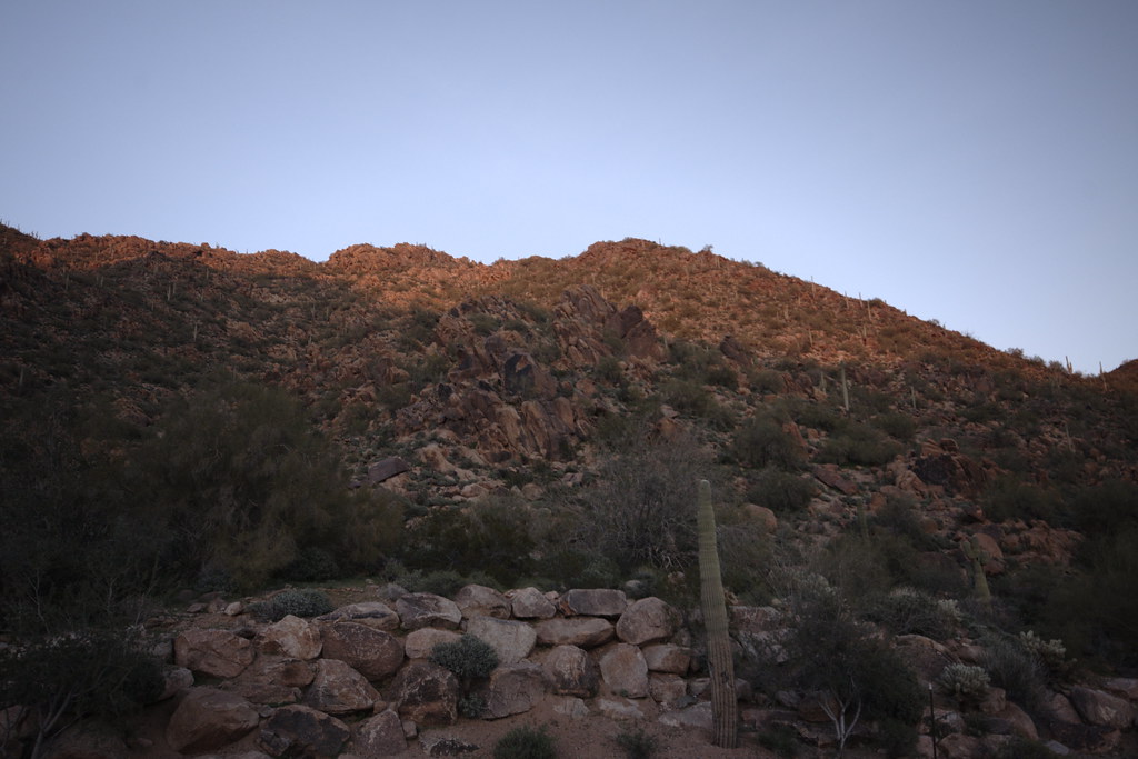 Peak SpurHiking · ~2 min drivePhoto: vaxomatic, CC BY 2.0 (via Flickr)
Best time to visit Lower Sonoran Trail
Best months: October–April. Best months have typical highs of 55–85 °F, lows of 30 °F or warmer (32 °F where the station doesn't record snow), at most one snowy day and no more than 12 wet days.
Jan
64° / 43°
Feb
66° / 45°
Mar
72° / 49°
Apr
79° / 54°
May
87° / 62°
Jun
96° / 71°
Jul
99° / 76°
Aug
98° / 75°
Sep
94° / 71°
Oct
83° / 61°
Nov
72° / 50°
Dec
63° / 42°
Typical high / low (°F) and days with rain or snow, 1991–2020. Measured at Pinnacle Peak, AZ, 8.2 mi away at 2,565 ft. This station doesn't record snowfall. Source: NOAA NCEI U.S. Climate Normals 1991–2020.


Map and trail data © OpenStreetMap contributors
