Loading…

Free — you'll pick up right here.
Watch this trail
Sign up to watch it — saving subscribes you to gate, closure and report changes.
Arizona
14.8 mi
Distance
1,594 ft
Gain
5h 44m
Time
No agency boundary, access route or field report is mapped to it — so there is no verdict, and we won't guess. We'll tell you the moment this trail has something to say.
Covered nearby
Trails within 25 miles where we do have a current picture.
Nobody's filed a report here yet — be the first.
Why you'll love it
King Canyon / Gould Mine Loop
AI-suggested draft · review before you go
No permit or access details on file for this trail — check with the local land manager before you go.
King Canyon/Gould Mine Loop is a 14.8-mile out-and-back trail located in Arizona. The route features 1,594 feet of elevation gain, making it a moderately challenging hike suitable for hikers with some experience. This trail takes adventurers through King Canyon while incorporating a visit to the historic Gould Mine, offering a combination of natural scenery and mining heritage exploration. The out-and-back format allows hikers to turn back at their preferred point, making it adaptable for various fitness levels and time constraints. The elevation gain is distributed across the trail's length, providing a steady workout without extreme steep sections. Hikers should plan accordingly for the nearly 15-mile distance and bring adequate water and supplies. This route offers an opportunity to experience Arizona's desert landscape and industrial history in a single hike. The combination of canyon exploration and historical interest makes it a distinctive choice for those seeking more than typical scenic trails in the region.
Javelina Wash Trail
~3 min drive
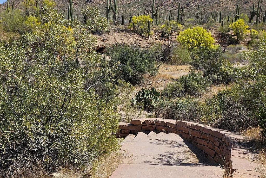
A 600-yard loop trail through the wash behind the Red Hills Visitor Center, looping through the wash from one end of the building to the other. Flat, but sandy and rocky, with stairs at either end. Follow the self-guided "Signs of Life in the Desert" tour under Self-Guided To…
Valley View Trail
~5 min drive
0.8 mi · Easy
Hugh Norris Big Loop
~5 min drive
6.8 mi · Hard
Linda Vista
~26 min drive
A moderate 5-mile out-and-back trail in Arizona that connects to the Feature Trail system, ideal for hikers seeking a balanced challenge.
Signal Hill (West District)
~7 min drive
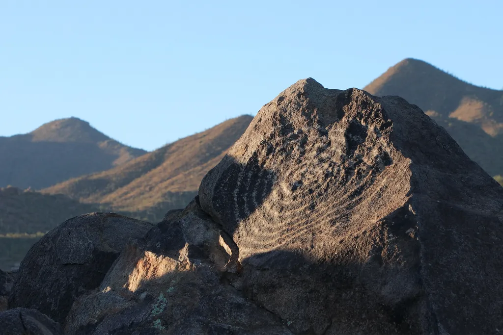
Signal Hill is a popular multi-use area along the Bajada Loop Drive in Saguaro National Park's west district. This is a popular destination, as it is the best place to see petroglyphs within the park. There are trails that start from this destination, as well as a picnic area.…
Golden Gate Mountain Loop
~6 min drive
15 mi · Hard
Saguaro National Park West
~3 min drive
Tucson, Arizona is home to the nation's largest cacti. The giant saguaro is the universal symbol of the American west. These majestic plants, found only in a small portion of the United States, are protected by Saguaro National Park, to the east and west of the modern city of…
Pima Canyon
~27 min drive
14 mi · Hard
Cactus Garden Trail
~3 min drive
A paved, 300-foot (91 m) accessible loop trail, located on the west side of the Red Hills Visitor Center parking lot. This short trail provides a great introduction to the notable species of the Sonoran Desert, featuring signs that identify and interpret many of the most commo…
Finger Rock
~28 min drive
A hard 11.53-mile out-and-back trail in Arizona with loose terrain, connecting to Mount Kimball.
