Rancho Sedona RV Park
Campground
Campground · 1.2 mi from the trail
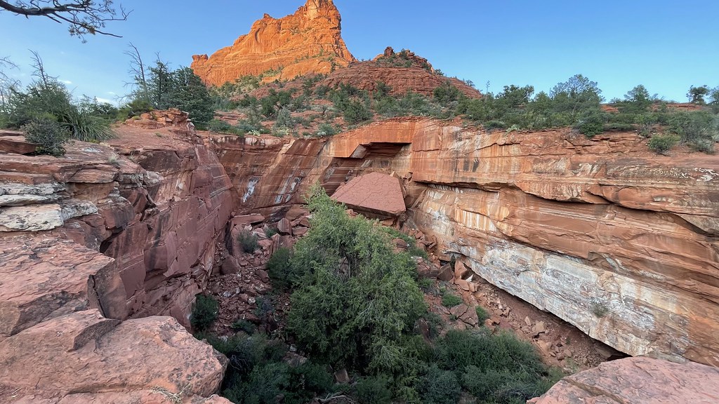 Photo: kevingenekelley, CC BY-SA 2.0 (via Flickr)
Closure in the area
There's a closure order in Red Rock Ranger District. It doesn't name Jordan #186, so check the source for the area it covers (2 listed).
Red Rock Ranger District affected by severe flooding; many closures in effect
Agency closure covering Red Rock Ranger District · USFS · Red Rock Ranger District
Banjo Bill Picnic Area Closure
Agency closure covering Red Rock Ranger District · Order 03-04-06-25-01 · USFS · Red Rock Ranger District
West Fork Temporary Area Closure - Extension to 2/27/27
Agency alert covering Coconino National Forest · Order 03-04-00-26-09 · USFS · Coconino National Forest
West Sedona Camping and Campfire Restrictions
Agency alert covering Red Rock Ranger District · Order 03-04-06-26-04 · USFS · Red Rock Ranger District
Sedona/ Oak Creek Canyon Camping and Campfire Restrictions
Agency alert covering Red Rock Ranger District · Order 03-04-06-23-03 · USFS · Red Rock Ranger District
As of · Source: USFS · Red Rock Ranger District. Agencies don't list every closure — check before you go.
Jordan #186 is a short, easy hike in the Red Rock Ranger District of Coconino National Forest in northern Arizona, managed by the Forest Service. The route is 3 miles long in total, with a one-way gain of about 97 feet from a low point of roughly 4,482 feet to a high of about 4,576 feet. It's an out-and-back. Spring and fall are the most comfortable times to go. Typical averages from a nearby weather station in Sedona show April highs around 75°F and October highs near 79°F, while July averages about 97°F. The trail is a practical, low-commitment outing. Bikes and horses are both allowed, so it works for a variety of outings. Powerline Plunge #668 is just 0.1 mile away, and Jordan Spur A is 0.2 mile off. Jordan Spur B, a mountain biking route, is 0.3 mile away, and the climbing area Sphinx aka Cibola Mitten is 0.8 mile away.
Rancho Sedona RV Park
Campground
Places © OpenStreetMap contributors
More in Kachina VillageNot on Roamze yet. Their page has how to reach them.
Best months: October–May. Best months have typical highs of 55–85 °F, lows of 30 °F or warmer (32 °F where the station doesn't record snow), at most one snowy day and no more than 12 wet days.
Jan
58° / 34°
5 wet
Feb
61° / 36°
6 wet
Mar
67° / 40°
6 wet
Apr
75° / 44°
3 wet
May
84° / 53°
3 wet
Jun
94° / 61°
2 wet
Jul
97° / 68°
6 wet
Aug
94° / 67°
9 wet
Sep
89° / 61°
5 wet
Oct
79° / 51°
3 wet
Nov
67° / 41°
4 wet
Dec
58° / 33°
4 wet
Typical high / low (°F) and days with rain or snow, 1991–2020. Measured at Sedona, AZ, 1 mi away at 4,220 ft. This station doesn't record snowfall. Source: NOAA NCEI U.S. Climate Normals 1991–2020.
 Photo: inkknife_2000 (14 million views), CC BY-SA 2.0 (via Flickr)
Powerline Plunge #668
Next door
0.73-mile lollipop trail in Arizona with 16 ft gain.
 Photo: jasonwoodhead23, CC BY 2.0 (via Flickr)
Munds Wagon #78
~3 min drive
7.73-mile out-and-back trail in Arizona with 1,104 ft elevation gain.
 Photo: InSapphoWeTrust from Los Angeles, California, USA, CC BY-SA 2.0 (via Wikimedia Commons)
Wilson Mountain #10
~3 min drive
10.84-mile out-and-back trail in Arizona with 2,198 ft elevation gain.
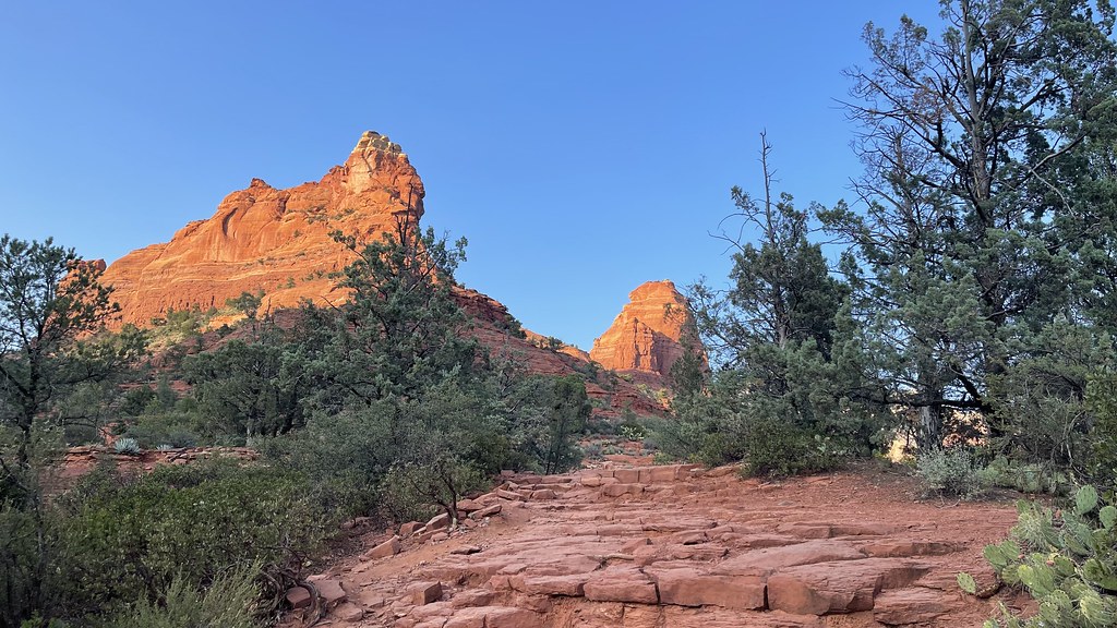 Photo: kevingenekelley, CC BY-SA 2.0 (via Flickr)
Jordan Spur A
Next door
Jordan Spur A is a 0.38-mile out-and-back trail in Arizona with 24 feet of elevation gain.
 Photo: inkknife_2000 (14 million views), CC BY-SA 2.0 (via Flickr)
Huckaby #161
~3 min drive
6.07-mile out-and-back trail in Arizona with 387 ft of elevation gain.
Photo: kevingenekelley, CC BY-SA 2.0 (via Flickr)Ant Hill Loop #666
Next door
0.60-mile loop trail in Arizona with 38 ft of elevation gain.
HIKE
Airport Loop #210
~3 min drive
3.26-mile loop trail in Arizona with 261 ft gain.
Photo: inkknife_2000 (14 million views), CC BY-SA 2.0 (via Flickr)Shorty #661A
Next door
0.28-mile out-and-back trail in Arizona with 53 ft of elevation gain.
 Photo: inkknife_2000 (7.5 million views +), CC BY-SA 2.0 (via Wikimedia Commons)
Cibola Pass #187
Next door
1.29-mile out-and-back trail at Cibola Pass #187 in Arizona with 145 ft of elevation gain.
Photo: kevingenekelley, CC BY-SA 2.0 (via Flickr)Jim Thompson #124
Next door
5.32-mile out-and-back trail in Arizona with 276 ft elevation gain.
Also worth it near here
 Photo: Coconino National Forest, Public domain (via Wikimedia Commons)
Jordan Spur B
Next door
 Photo: Coconino National Forest, CC BY-SA 2.0 (via Wikimedia Commons)
Sphinx aka Cibola Mitten
~1 min drive
BED
Rancho Sedona RV Park
~2 min drive
 Photo: Eric Johnson, CC BY-SA 3.0 (via Wikimedia Commons)
Capitol Butte
~4 min drive
Map and trail data © OpenStreetMap contributors
