Arizona Canal Path
 Photo: Tanque Verde, CC BY 2.0 (via Flickr)
- 0.8 mi
- round trip
- 81 ft
- climb
- 1,291 ft
- high point
- Out and back
- route
- Nov–Apr
- best months
Arizona Canal Path is an easy, short walk of about 0.78 miles on city land within Silverado Golf Course in Arizona. The route is an out-and-back, roughly 1.6 miles in length, with the high point at about 1,291 feet and the low point near 1,270 feet. It rises and falls a total of about 81 feet over the course of the trip. The trail is a flat, easy stroll, with the steepest stretch of about 2 percent coming at around 0.34 miles. The whole route is done within about 30 minutes, so it fits easily into a stop at the golf course or a longer outing in the area. For comfortable weather, aim for spring or fall. Typical averages from a nearby weather station show March highs around 76°F and October highs around 87°F, while summer highs reach the low 100s. Several other outings sit within a short drive. Riverwalk at Talking Stick is about 2.5 miles away, Cholla Trail about 3 miles, and Boulder Canyon offers climbing at a similar distance. Paddlers can reach the Salt River, about 5 miles off.
Local outfitters
- Arizona Desert Mountain Jeep Tours20 mi away
- VIP RV Resort22 mi away
Not on Roamze yet. Their page has how to reach them.
- Riverwalk at Talking StickHiking2.5 mi
- Cholla TrailHiking3 mi
 The Praying MonkRock climbingPhoto: bobistraveling, CC BY 2.0 (via Wikimedia Commons)3 mi
- Boulder CanyonRock climbingPhoto: bobistraveling, CC BY 2.0 (via Wikimedia Commons)3 mi
 Echo Canyon TrailHikingPhoto: Hari Seldon, CC BY-SA 3.0 (via Wikimedia Commons)3.3 mi
 Gargoyle WallRock climbingPhoto: Spikebrennan, CC BY-SA 3.0 (via Wikimedia Commons)3.3 mi
- The HeadwallRock climbingPhoto: Spikebrennan, CC BY-SA 3.0 (via Wikimedia Commons)3.3 mi
 Salt RiverCanoeingPhoto: Alan Stark from Goodyear, AZ, United States, CC BY-SA 2.0 (via Wikimedia Commons)5.1 mi
Source: Roamze catalog (indexable pages within 10 miles, PostGIS distance)
- Echo Canyon TrailHiking · ~6 min drivePhoto: Hari Seldon, CC BY-SA 3.0 (via Wikimedia Commons)
 Dixie Peak TrailHiking · ~8 min drivePhoto: aspidoscelis, Public Domain Dedication (CC0) (via Flickr)
- Cholla TrailHiking · ~5 min drive
- Perl Charles Trail 1AHiking · ~12 min drive
 5k TrailHiking · ~9 min drivePhoto: Grant Berg, CC BY-SA 3.0 (via Wikimedia Commons)
- Summit Trail 300Hiking · ~11 min drive
 Plants and People of the Sonoran Desert Loop TrailHiking · ~9 min drivePhoto: litt26, Public Domain Dedication (CC0) (via Flickr)
- Freedom Trail 302Hiking · ~11 min drive
- Big Butte LoopHiking · ~9 min drivePhoto: litt26, Public Domain Dedication (CC0) (via Flickr)
 Double Butte LoopHiking · ~9 min drivePhoto: litt26, Public Domain Dedication (CC0) (via Flickr)
Also worth it near here
- Marguerite LakeLake fishing · ~2 min drive
- The Praying MonkRock climbing · ~5 min drivePhoto: bobistraveling, CC BY 2.0 (via Wikimedia Commons)
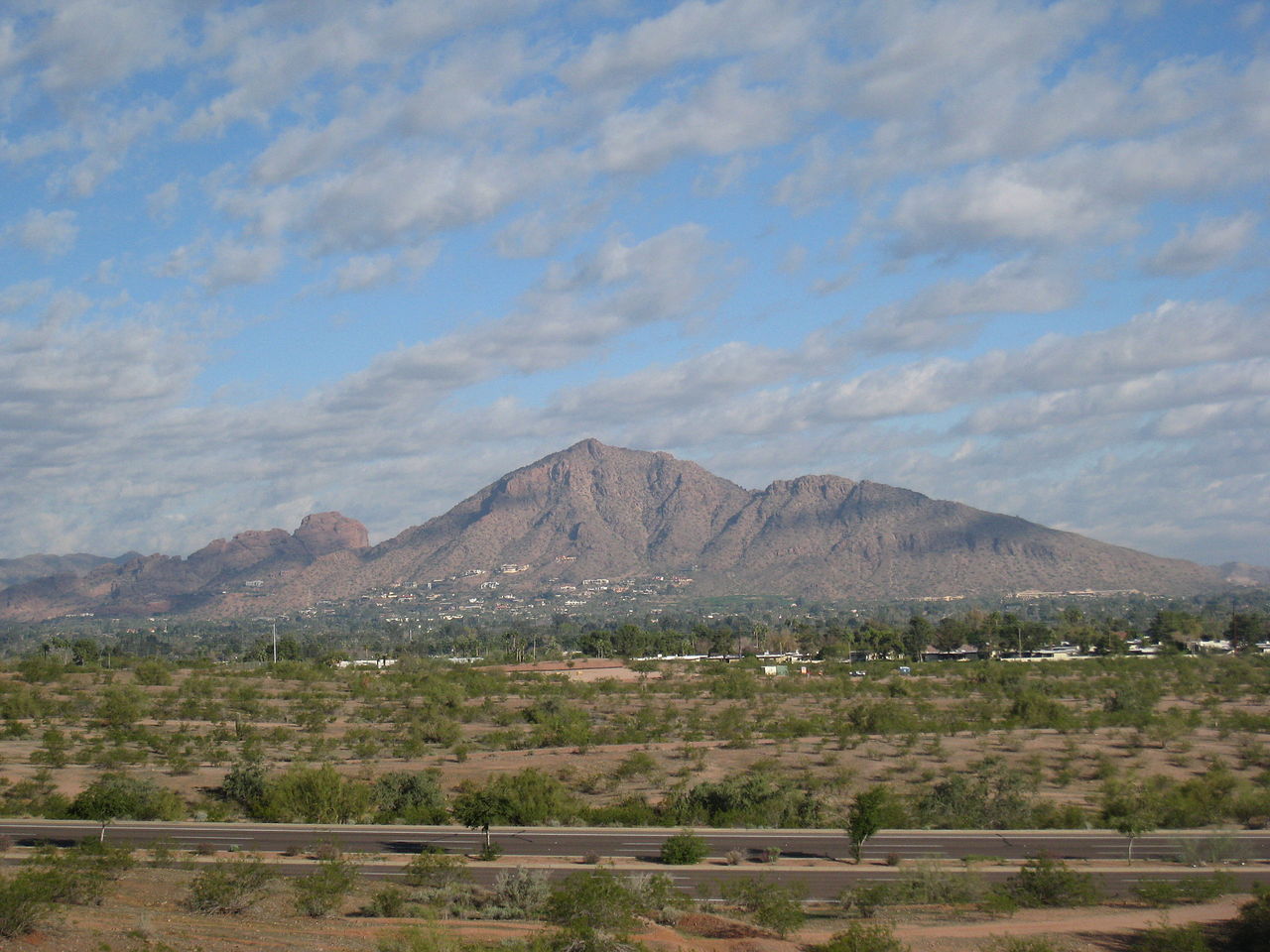 Camelback MountainSummit · ~5 min drivePhoto: Dru Bloomfield from Scottsdale, Arizona, USA, CC BY 2.0 (via Wikimedia Commons)
- Camels EyeNatural arch · ~6 min drive
Best time to visit Arizona Canal Path
Best months: November–April. Best months have typical highs of 55–85 °F, lows of 30 °F or warmer (32 °F where the station doesn't record snow), at most one snowy day and no more than 12 wet days.
Jan
67° / 43°
4 wet
Feb
69° / 46°
4 wet
Mar
76° / 52°
3 wet
Apr
83° / 58°
1 wet
May
92° / 67°
1 wet
Jun
102° / 76°
1 wet
Jul
104° / 83°
3 wet
Aug
103° / 82°
4 wet
Sep
98° / 75°
3 wet
Oct
87° / 63°
2 wet
Nov
75° / 51°
2 wet
Dec
65° / 43°
4 wet
Typical high / low (°F) and days with rain or snow, 1991–2020. Measured at Scottsdale Muni Ap, AZ, 6.1 mi away at 1,473 ft. This station doesn't record snowfall. Source: NOAA NCEI U.S. Climate Normals 1991–2020.
Map and trail data © OpenStreetMap contributors
