

Four Season Guides
Hiking business nearby (~28 mi away) — hasn't claimed their Roamze page yet
Free — you'll pick up right here.
Watch this trail
Sign up to watch it — saving subscribes you to gate, closure and report changes.
Arizona
0.3 mi
Distance
220 ft
Gain
14 min
Time
We won't guess. Here is exactly what we do and don't know.
What we do know
Inside Coconino National Forest
2 managing-area boundaries mapped — agency alerts for them feed this page automatically.
Boundary data
What's missing
No access route mapped
We don't yet know which road reaches this trailhead, so we can't tell you if it's gated.
Nobody's filed a report here yet — be the first.
Why you'll love it
Doney Trail
AI-suggested draft · review before you go
No permit or access details on file for this trail — check with the local land manager before you go.
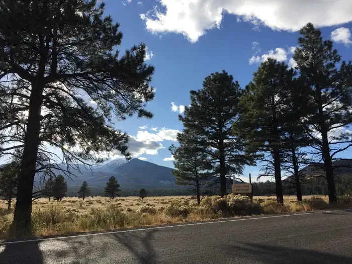
Doney Trail is a short lollipop loop located in Arizona, making it ideal for hikers seeking a quick outing with notable elevation change. The trail covers 0.3 miles with 220 feet of elevation gain, offering a steep but manageable ascent for most fitness levels. The lollipop design means hikers will climb to a destination point before descending via the same or similar route, providing variety in the hiking experience. This compact trail is perfect for families, those with limited time, or anyone looking to pack a workout into a brief hike. The significant elevation gain relative to the short distance means the ascent is fairly steep, making it suitable for hikers comfortable with moderate inclines. The trail's brevity makes it accessible for a wide range of abilities, though the steepness should be considered when planning your visit. Doney Trail is an excellent choice for a morning hike, a warm-up before a longer adventure, or a standalone excursion when time is limited. The combination of distance and elevation gain makes it an efficient way to explore the Arizona landscape.

Humphreys Summit Trail #151
~35 min drive
9.7 mi · Moderate
Strawberry
~12 min drive
1.4 mi · Easy
Lenox Crater Trail
~23 min drive
Short out-and-back hike to a volcanic crater with scenic views.
Old Caves
~33 min drive
6.9 mi · Hard
Humphreys Peak
~38 min drive
Standard route to Humphreys Peak (12,633 ft) from Humphreys Trailhead (Arizona Snowbowl).
O'Leary Trail
~19 min drive
9.7 mi · Moderate
Moon Walk
~30 min drive
2.9 mi · Easy
Arizona Trail-Saddle Mountain
~29 min drive
6.26-mile out-and-back trail in Arizona with 1090 ft elevation gain.
Waterline
~34 min drive
28 mi · Hard
Inner Basin Trail #29
~31 min drive
4.1 mi · Moderate
Local operatorsoffering guided trips. You book directly with them — Roamze doesn’t take a cut.
Four Season Guides
Hiking business nearby (~28 mi away) — hasn't claimed their Roamze page yet
Village Camp
Hiking business nearby (~31 mi away) — hasn't claimed their Roamze page yet
Wander Camp
Hiking business nearby (~41 mi away) — hasn't claimed their Roamze page yet