KOA Holiday - Flagstaff
Campground
Campground · 2.5 mi from the trail
 Photo: Coconino NF Photography, Public Domain Mark (via Flickr)
Alert in the area
The Forest Service lists 5 alerts for Coconino National Forest.
West Fork Temporary Area Closure - Extension to 2/27/27
Agency alert covering Coconino National Forest · Order 03-04-00-26-09 · USFS · Coconino National Forest
Temporary Closure for West Wing Pile Burn
Agency alert covering Flagstaff Ranger District · Order 03-04-08-26-08 · USFS · Flagstaff Ranger District
Newman Park Pile Burn
Agency alert covering Flagstaff Ranger District · USFS · Flagstaff Ranger District
Kachina Village and Pumphouse Wash Camping and Campfire Restrictions
Agency alert covering Flagstaff Ranger District · Order 03-04-08-25-02 · USFS · Flagstaff Ranger District
Flagstaff-area camping and campfire restrictions in effect year-round
Agency alert covering Flagstaff Ranger District · Order 03-04-08-25-01 · USFS · Flagstaff Ranger District
As of · Source: USFS · Coconino National Forest. Agencies don't list every closure — check before you go.
Campbell Mesa Loop is a 5.8-mile hike in the Flagstaff Ranger District of Coconino National Forest, managed by the Forest Service. The trail rises about 165 feet from a low of roughly 6,684 feet to a high of about 6,866 feet. It is rated hard, so plan for a full day on the trail. Spring and fall are the most comfortable times to go. Typical averages from a nearby weather station run from highs around 62°F in April to 67°F in October, while July highs reach about 86°F and August brings the most wet days. Several other outings sit close by. Walnut Meadows and the Continental hike are both within a quarter mile, and the Lost Elden climbing area is about 2.6 miles away. Little Elden Springs Horsecamp, about 5.3 miles off, offers a place to camp.
KOA Holiday - Flagstaff
Campground
Places © OpenStreetMap contributors
More in Kachina VillageNot on Roamze yet. Their page has how to reach them.
Best months: April–June and September–October. Best months have typical highs of 55–85 °F, lows of 30 °F or warmer (32 °F where the station doesn't record snow), at most one snowy day and no more than 12 wet days.
Jan
45° / 20°
6 wet
Feb
49° / 23°
6 wet
Mar
56° / 28°
5 wet
Apr
62° / 34°
4 wet
May
71° / 40°
4 wet
Jun
82° / 51°
3 wet
Jul
86° / 57°
10 wet
Aug
82° / 55°
13 wet
Sep
78° / 46°
7 wet
Oct
67° / 34°
5 wet
Nov
55° / 28°
4 wet
Dec
45° / 21°
5 wet
Typical high / low (°F) and days with rain or snow, 1991–2020. Measured at Walnut Canyon Nm, AZ, 3.6 mi away at 6,695 ft. This station doesn't record snowfall. Source: NOAA NCEI U.S. Climate Normals 1991–2020.
Photo: Coconino NF Photography, Public Domain Mark (via Flickr)Flagstaff Loop Trail
Next door
2.04-mile out-and-back hike in Arizona with 100 ft elevation gain and 100 ft loss.
 Photo: Bobby Chin, CC BY-SA 4.0 (via Wikimedia Commons)
Tom Moody Loop Trail
~4 min drive
3.52-mile loop trail in Arizona with 262 ft of elevation gain.
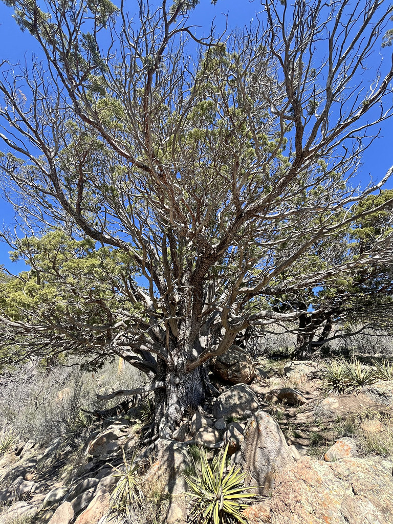 Photo: Coconino NF Photography, Public Domain Mark (via Flickr)
Elden Lookout Trail
~5 min drive
2.59-mile lollipop trail in Arizona with 3,904 ft gain.
 Photo: k7hpn, CC BY 2.0 (via Flickr)
Rain Valley Path
~4 min drive
1.36-mile out-and-back trail in Arizona with 110 ft of elevation gain.
Photo: Coconino NF Photography, Public Domain Mark (via Flickr)Christmas Tree
~5 min drive
3.06-mile out-and-back trail in Arizona with 243 ft of elevation gain.
Photo: k7hpn, CC BY 2.0 (via Flickr)Azt - Mt Elden
~4 min drive
A 2.28-mile out-and-back single-track trail on Mt Elden that links to Little Elden Spring and Tip Tank.
 Photo: Coconino NF Photography, Public Domain Mark (via Flickr)
Sunset Trail
~6 min drive
10.42-mile out-and-back trail in Arizona with 180 ft of elevation gain.
Photo: k7hpn, CC BY 2.0 (via Flickr)Arizona Trail
~4 min drive
A 1.16-mile out-and-back trail in Arizona connected to Passage 42 of the Arizona Trail system.
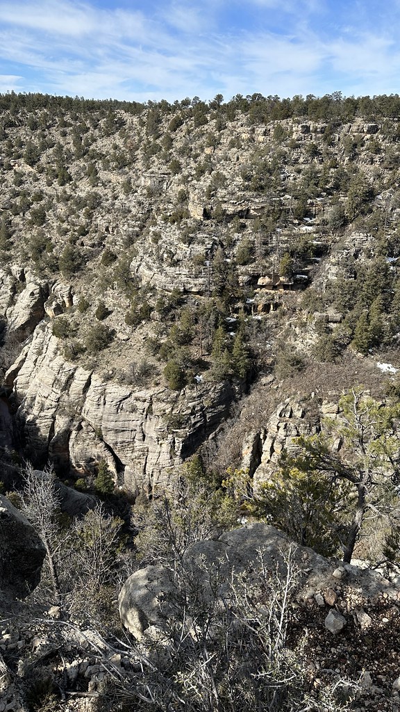 Photo: jasonwoodhead23, CC BY 2.0 (via Flickr)
Azt - Walnut Canyon
~6 min drive
A moderate 2.16-mile out-and-back singletrack trail in Arizona's Walnut Canyon, ideal for hikers looking for a solid half-day adventure.
Photo: Bobby Chin, CC BY-SA 4.0 (via Wikimedia Commons)Don Weaver Trail
~4 min drive
1.32-mile out-and-back trail in Arizona with 296 ft elevation gain and loss.
