

Canyon Outfitters Sedona
Hiking business nearby (~4 mi away) — hasn't claimed their Roamze page yet
Free — you'll pick up right here.
Watch this trail
Sign up to watch it — saving subscribes you to gate, closure and report changes.
Arizona
3.7 mi
Distance
646 ft
Gain
1h 34m
Time
We won't guess. Here is exactly what we do and don't know.
What we do know
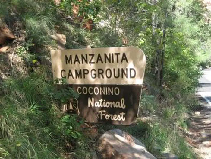
Inside Coconino National Forest
2 managing-area boundaries mapped — agency alerts for them feed this page automatically.
Boundary data
What's missing
No access route mapped
We don't yet know which road reaches this trailhead, so we can't tell you if it's gated.
Nobody's filed a report here yet — be the first.
Why you'll love it
Brins Mesa #119
AI-suggested draft · review before you go
No permit or access details on file for this trail — check with the local land manager before you go.
Brins Mesa Trail #119 is a 3.7-mile lollipop loop located in Arizona. The route features 646 feet of elevation gain, making it a moderate hike suitable for those with basic fitness levels. The lollipop configuration means hikers will travel out on an initial stem section before reaching the loop portion, then return via the same outbound path. This design allows for flexibility, as you can turn back at any point along the stem if needed. The trail provides access to Brins Mesa, offering views and terrain typical of the Arizona landscape. With nearly 3.7 miles of total distance and moderate elevation gain spread throughout, the hike presents a manageable challenge for afternoon outings or those seeking a moderate-length adventure. This trail is ideal for hikers looking to explore Arizona's natural areas without committing to a strenuous all-day expedition. The combination of distance and elevation gain makes it achievable for most skill levels while still providing a solid workout.
Secret Canyon #121
~2 min drive
10 mi · Moderate
Mescal Connector #174D
~2 min drive
0.6 mi · Easy
Girdner #162
~4 min drive
10 mi · Moderate
Devils Bridge #120
~2 min drive
1.6 mi · Easy
Boynton Canyon #47
~4 min drive
6.1 mi · Moderate
Solider Pass #66
~2 min drive
2.2 mi · Easy
Long Canyon #122
~2 min drive
7.2 mi · Moderate
Solider Pass Spur A
~2 min drive
0.2 mi · Easy
Chuckwagon #196
~4 min drive
10 mi · Moderate
Dry Creek #52
~3 min drive
5.1 mi · Easy
Local operatorsoffering guided trips. You book directly with them — Roamze doesn’t take a cut.
Canyon Outfitters Sedona
Hiking business nearby (~4 mi away) — hasn't claimed their Roamze page yet
Rancho Sedona RV Park
Hiking business nearby (~4 mi away) — hasn't claimed their Roamze page yet
Camp Avalon Spiritual Nature Retreat
Hiking business nearby (~7 mi away) — hasn't claimed their Roamze page yet