Palisades Ranger Residence Cabin
Campground
The next 8 weekends are full on Recreation.gov
 Photo: treegrow, CC BY 2.0 (via Flickr)
Closure in the area
There's a closure order in Santa Catalina Ranger District. It doesn't name Bigelow, so check the source for the area it covers.
Marshall Gulch Closure Order
Agency closure covering Santa Catalina Ranger District · Order 03-05-05-26-009 · USFS · Santa Catalina Ranger District
Border Barrier Construction Closure
Agency alert covering Coronado National Forest · Order 03-05-00-26-011 · USFS · Coronado National Forest
No Fire Restrictions
Agency alert covering Coronado National Forest · USFS · Coronado National Forest
Barfoot Snake Closure Order 03-05-01-24-004
Agency alert covering Coronado National Forest · USFS · Coronado National Forest
As of · Source: USFS · Santa Catalina Ranger District. Agencies don't list every closure — check before you go.
Bigelow is an easy out-and-back hike in the Santa Catalina Ranger District of Coronado National Forest in Arizona, managed by the Forest Service. The trail is about 1.7 miles long, with a one-way elevation gain of 580 feet, taking you from a low point of about 7,930 feet to a high of about 8,510 feet. The trail is natural-surfaced and allows bikes, and it is not an accessible route. The Bigelow Trailhead, with parking labeled BIGELOW TH, is the trailhead, and the route is open year-round. For comfortable weather, late spring and early fall are the sweet spots. Typical averages from a nearby weather station at Mt Lemmon Willow Canyon show May highs around 71°F and September highs around 75°F, though that station sits roughly 1,500 feet lower than the trail's high point, so temperatures on the ridge run cooler. The Palisades Ranger Residence Cabin is just 0.1 mile away, and the Bigelow Trail #520 mountain biking route is 0.2 mile off. Climbers can head to Upper crag, about 0.3 mile away, and the Knagge hike is about 0.6 mile away.
Palisades Ranger Residence Cabin
Campground
Butler Hall
Fast food
Wildlife Viewing Area
Viewpoint
Places © OpenStreetMap contributors
More in OracleBest months: March–November. Best months have typical highs of 55–85 °F, lows of 30 °F or warmer (32 °F where the station doesn't record snow), at most one snowy day and no more than 12 wet days.
Jan
50° / 34°
Feb
50° / 33°
Mar
55° / 37°
Apr
62° / 43°
May
71° / 51°
Jun
80° / 60°
Jul
80° / 63°
Aug
79° / 62°
Sep
75° / 59°
Oct
68° / 49°
Nov
59° / 40°
Dec
49° / 33°
Typical high / low (°F) and days with rain or snow, 1991–2020. Measured at Mt Lemmon Willow Canyon, AZ, 1.9 mi away at 7,027 ft. The station sits about 1,500 ft lower than this place, so expect it a little cooler here. This station doesn't record snowfall. Source: NOAA NCEI U.S. Climate Normals 1991–2020.
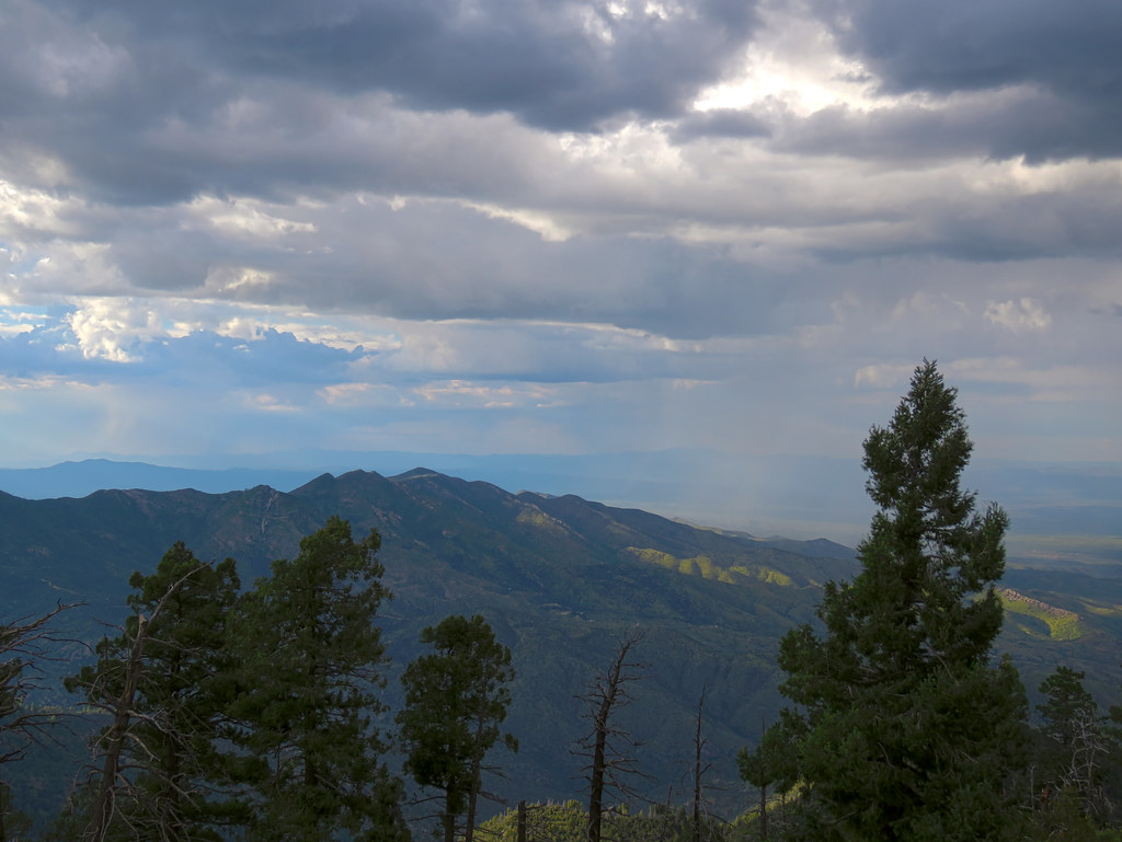 Photo: treegrow, CC BY 2.0 (via Flickr)
Davis Spring
~2 min drive
12.09-mile out-and-back trail to Davis Spring in Arizona with 282 ft gain.
 Photo: 666isMONEY ☮ ♥ & ☠, CC BY 2.0 (via Flickr)
Rose Canyon Lake
~2 min drive
0.32-mile out-and-back trail to Rose Canyon Lake in Arizona.
 Photo: theojones2, Public Domain Dedication (CC0) (via Flickr)
Bug Springs Trail
~5 min drive
8.80-mile out-and-back trail in Arizona with 250 ft of elevation gain.
HIKE
Oracle Ridge Trail #1
~9 min drive
A 7.85-mile out-and-back dirt trail in Arizona ideal for hikers looking for a straightforward desert hiking experience.
 Photo: desertdutchman, CC BY 2.0 (via Flickr)
Box Camp
~3 min drive
10.44-mile out-and-back trail to Box Camp in Arizona with 505 ft elevation gain.
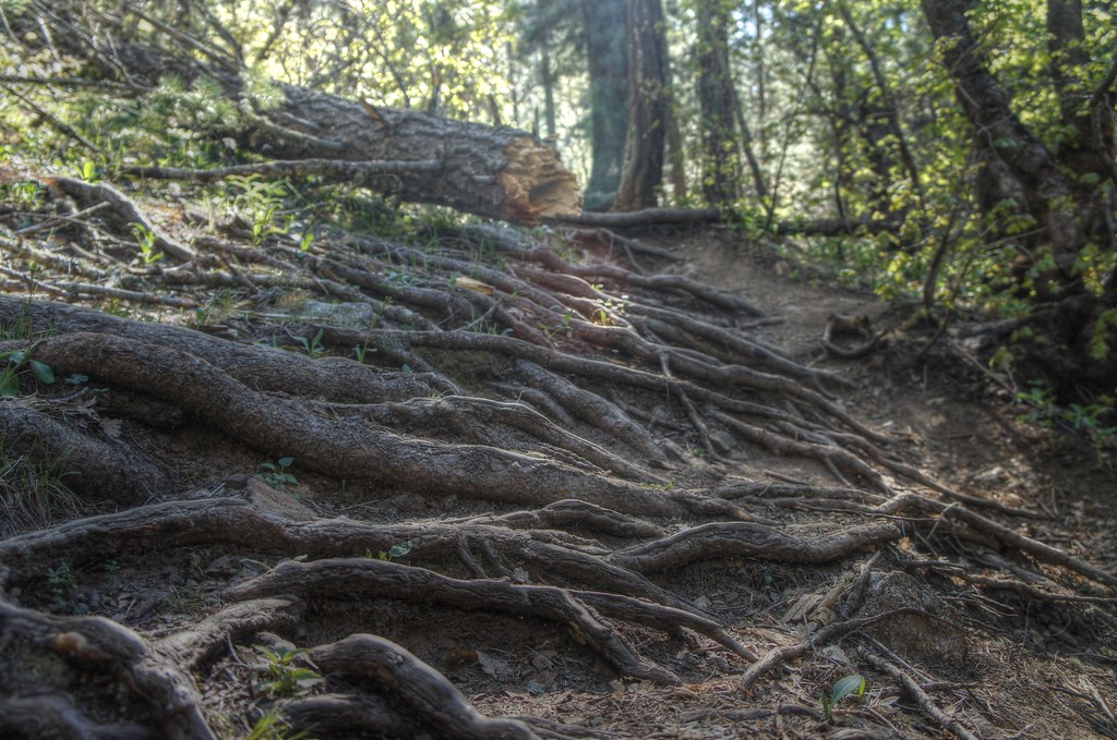 Photo: dennyforreal, CC BY 2.0 (via Flickr)
Box Spring Trail #22A
~4 min drive
0.62-mile out-and-back trail in Arizona with 288 ft of elevation gain.
 Photo: KimonBerlin, CC BY-SA 2.0 (via Flickr)
Marshall Gulch Trail #3
~7 min drive
A moderate 1.30-mile out-and-back trail in Arizona that connects to Aspen Trail #93, ideal for hikers seeking a straightforward mountain experience.
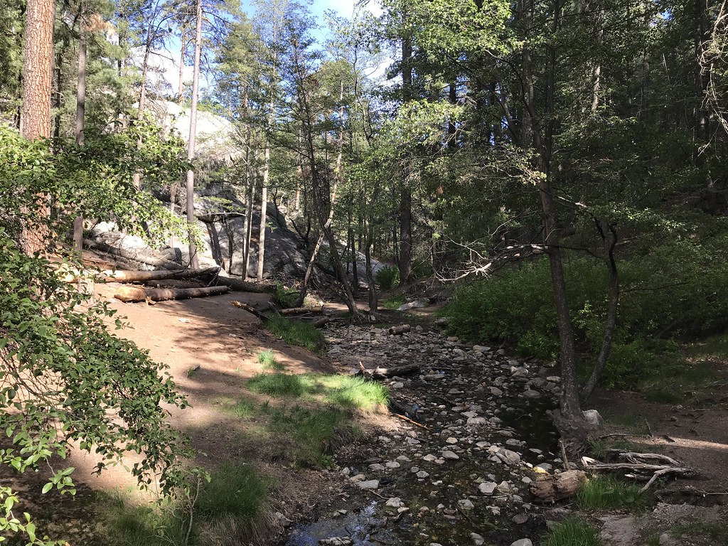 Photo: 666isMONEY ☮ ♥ & ☠, CC BY 2.0 (via Flickr)
Aspen
~5 min drive
7.87-mile out-and-back trail in Arizona with 1,610 ft elevation gain.
 Photo: Katja Schulz from Washington, D. C., USA, CC BY 2.0 (via Wikimedia Commons)
Maverick Spring Trail #704
~4 min drive
0.76-mile out-and-back hike to Maverick Spring in Arizona with 242 ft gain.
Photo: KimonBerlin, CC BY-SA 2.0 (via Flickr)Mint Springs
~7 min drive
3.35-mile out-and-back trail to Mint Springs in Arizona with 167 ft of elevation gain.
Park at BIGELOW TH.
Season: Year-round.
About 1.7 mi round trip from Bigelow Trailhead (about 7,931 ft).
About 580 ft of climbing round trip.
It is rated easy.
Bigelow Trailhead (about 7,931 ft).
About 1 hour round trip.
Year-round.
Daily highs and lows, wind and the chance of precipitation at the summit and route start for the next 7 days, from the Open-Meteo model.

