6644c1
- 0.5 mi
- round trip
- 57 ft
- climb
- 2,200 ft
- high point
- Out and back
- route
- Nov–Mar
- best months
This is a short, easy outing on Bureau of Land Management land in Arizona, about half a mile from the starting point. The route is an out-and-back that reaches a high point of 2,200 feet from a low of 2,161 feet, with a total gain and loss of about 57 feet each way. It's a gentle walk, with the steepest part of the climb coming at about 0.28 miles in, where the grade reaches 5 percent. The Tucson Field Office manages the surrounding land, and the trail is open to horses. The trip takes about half an hour, so it works well as a quick stop before or after exploring other trails in the area. For the most comfortable weather, aim for spring or fall. Typical averages from a nearby weather station run from highs around 78°F with lows near 48°F in March to highs near 89°F with lows around 60°F in October. Summer highs typically top 100°F from June through August, and winter brings highs in the mid-60s and a few wet days each month. Several other short hikes sit within a few miles. 6640M3 is about 2.1 miles away, 6660D1 is 2.8 miles away, and 6640H1 is 3.7 miles away.
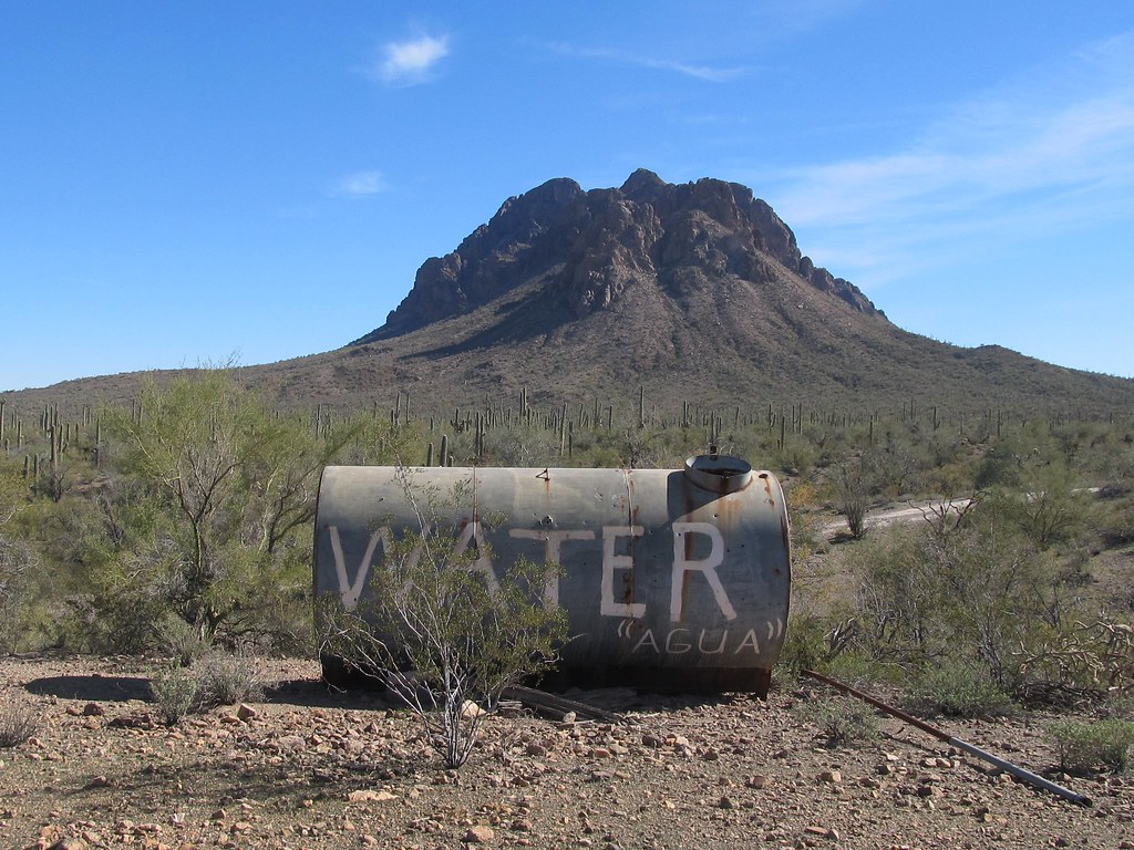 6640M3HikingPhoto: 666isMONEY ☮ ♥ & ☠, CC BY-SA 2.0 (via Flickr)2.1 mi
- 6660D1Hiking2.8 mi
- 6660D2Hiking3.3 mi
- 6640H1Hiking3.7 mi
- 6650B1Hiking4.6 mi
- 6641C1Hiking5.8 mi
- 6650H1Hiking6.9 mi
- 6645A1Hiking7.5 mi
Source: Roamze catalog (indexable pages within 10 miles, PostGIS distance)
- 6640M3Hiking · ~4 min drivePhoto: 666isMONEY ☮ ♥ & ☠, CC BY-SA 2.0 (via Flickr)
 Sunset Vista TrailHiking · ~25 min drivePhoto: KimonBerlin, CC BY-SA 2.0 (via Flickr)
 Cactus Wren Trail, Access Point 3Hiking · ~37 min drivePhoto: w_lemay, CC BY-SA 2.0 (via Flickr)
 Hugh Norris Big LoopHiking · ~41 min drivePhoto: dconvertini, CC BY-SA 2.0 (via Flickr)
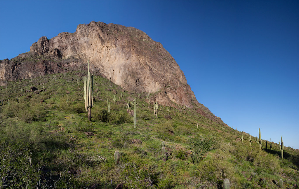 Calloway TrailHiking · ~25 min drivePhoto: squeaks2569, CC BY-SA 2.0 (via Flickr)
- Hunter TrailHiking · ~25 min drivePhoto: squeaks2569, CC BY-SA 2.0 (via Flickr)
- Signal Hill (West District)Hiking · ~39 min drive
 Hugh Norris TrailHiking · ~41 min drivePhoto: dconvertini, CC BY-SA 2.0 (via Flickr)
 Nature TrailHiking · ~26 min drivePhoto: RuggyBearLA, CC BY-SA 2.0 (via Flickr)
 Encinas TrailHiking · ~38 min drivePhoto: w_lemay, CC BY-SA 2.0 (via Flickr)
Best time to visit 6644C1
Best months: November–March. Best months have typical highs of 55–85 °F, lows of 30 °F or warmer (32 °F where the station doesn't record snow), at most one snowy day and no more than 12 wet days.
Jan
67° / 41°
4 wet
Feb
71° / 43°
4 wet
Mar
78° / 48°
3 wet
Apr
86° / 54°
1 wet
May
95° / 63°
1 wet
Jun
104° / 72°
2 wet
Jul
104° / 78°
5 wet
Aug
103° / 78°
6 wet
Sep
99° / 72°
4 wet
Oct
89° / 60°
3 wet
Nov
76° / 49°
3 wet
Dec
66° / 40°
4 wet
Typical high / low (°F) and days with rain or snow, 1991–2020. Measured at Picacho 8 Se, AZ, 15 mi away at 1,981 ft. Source: NOAA NCEI U.S. Climate Normals 1991–2020.


