6641c1
- 0.3 mi
- round trip
- 61 ft
- climb
- 2,087 ft
- high point
- Out and back
- route
- Nov–Mar
- best months
This is a short, easy hike in Arizona on Bureau of Land Management land within the Tucson Field Office. The trail is about 0.34 miles long, and the total climb is about 61 feet, so it's a quick out-and-back that works well for a stop on the way to or from town. The route is a straightforward one. It starts at about 2,033 feet and reaches a high point of about 2,087 feet, with the steepest part coming in the first 0.15 miles. The grade there is about 5%, and the trail is short enough to fit into half an hour. Spring and fall are the most comfortable times to go. Typical averages from a nearby weather station run from highs around 67°F in January to 86°F in April, and from 89°F in October to 67°F in December. Summer highs typically reach about 104°F in June and July. The trail is also open to horses, so riders can bring a saddle along. Nearby, the 6660D1 hike is about 4.1 miles away, 6660D2 is about 4.8 miles away, and 6644C1 is about 5.8 miles away.
- 6660D1Hiking4.1 mi
- 6660D2Hiking4.8 mi
- 6644C1Hiking5.8 mi
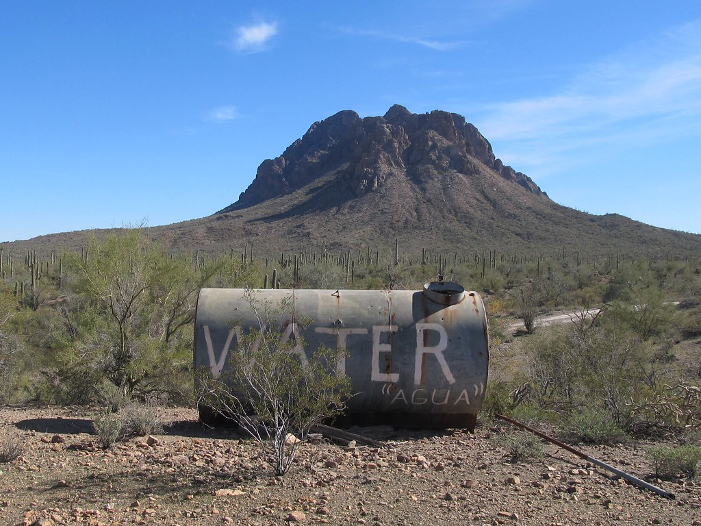 6640M3HikingPhoto: 666isMONEY ☮ ♥ & ☠, CC BY-SA 2.0 (via Flickr)7.3 mi
- 6640H1Hiking8.7 mi
Source: Roamze catalog (indexable pages within 10 miles, PostGIS distance)
- 6640M3Hiking · ~13 min drivePhoto: 666isMONEY ☮ ♥ & ☠, CC BY-SA 2.0 (via Flickr)
 Sunset Vista TrailHiking · ~34 min drivePhoto: KimonBerlin, CC BY-SA 2.0 (via Flickr)
 Cactus Wren Trail, Access Point 3Hiking · ~44 min drivePhoto: w_lemay, CC BY-SA 2.0 (via Flickr)
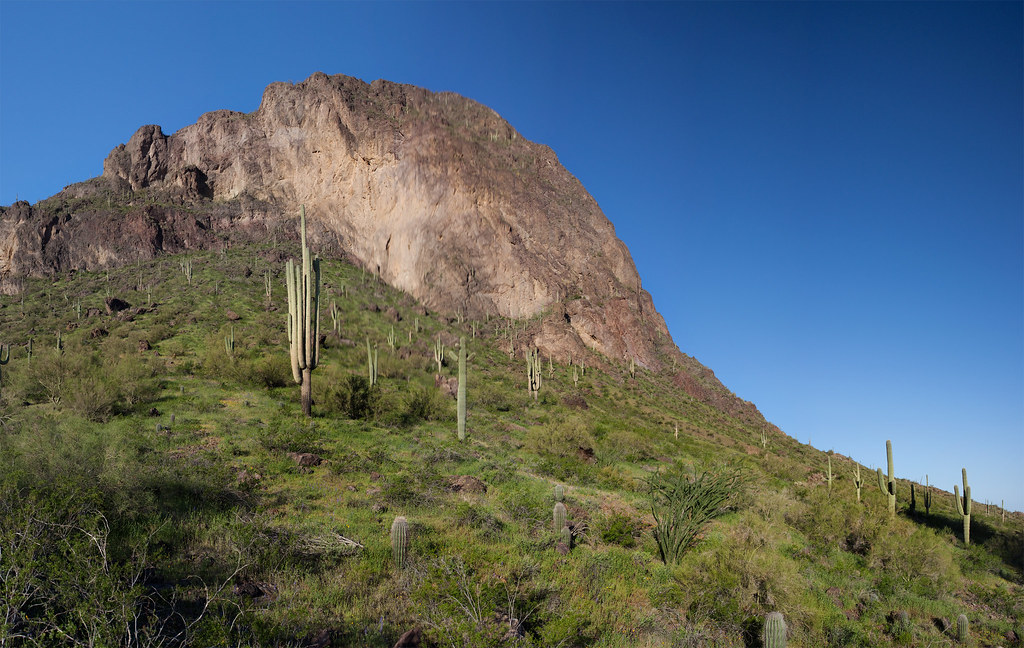 Calloway TrailHiking · ~34 min drivePhoto: squeaks2569, CC BY-SA 2.0 (via Flickr)
- Hunter TrailHiking · ~34 min drivePhoto: squeaks2569, CC BY-SA 2.0 (via Flickr)
- Signal Hill (West District)Hiking · ~45 min drive
 Nature TrailHiking · ~35 min drivePhoto: RuggyBearLA, CC BY-SA 2.0 (via Flickr)
 Encinas TrailHiking · ~44 min drivePhoto: w_lemay, CC BY-SA 2.0 (via Flickr)
- Desert Winds Trail, Access Point 2Hiking · ~44 min drivePhoto: w_lemay, CC BY-SA 2.0 (via Flickr)
- Cactus Wren TrailHiking · ~44 min drivePhoto: w_lemay, CC BY-SA 2.0 (via Flickr)
Best time to visit 6641C1
Best months: November–March. Best months have typical highs of 55–85 °F, lows of 30 °F or warmer (32 °F where the station doesn't record snow), at most one snowy day and no more than 12 wet days.
Jan
67° / 41°
4 wet
Feb
71° / 43°
4 wet
Mar
78° / 48°
3 wet
Apr
86° / 54°
1 wet
May
95° / 63°
1 wet
Jun
104° / 72°
2 wet
Jul
104° / 78°
5 wet
Aug
103° / 78°
6 wet
Sep
99° / 72°
4 wet
Oct
89° / 60°
3 wet
Nov
76° / 49°
3 wet
Dec
66° / 40°
4 wet
Typical high / low (°F) and days with rain or snow, 1991–2020. Measured at Picacho 8 Se, AZ, 20.3 mi away at 1,981 ft. Source: NOAA NCEI U.S. Climate Normals 1991–2020.

