6640h1
- 0.8 mi
- round trip
- 526 ft
- climb
- 2,822 ft
- high point
- Out and back
- route
- Nov–Mar
- best months
6640H1 is an out-and-back hike on Bureau of Land Management land within the Tucson Field Office, in Arizona. The route is 1.7 miles long, with a round-trip elevation gain of about 526 feet, and it is rated easy. The hike starts at roughly 2,808 feet and reaches a high point of about 2,822 feet before returning to the starting elevation. The steepest stretch comes early, around the 0.29-mile mark, where the grade reaches about 50 percent. The most comfortable time to go is spring or fall. At a nearby weather station, typical average highs run in the upper 70s in March and November, and the station sits well below the trail, so expect temperatures on the route to run cooler. The hike takes about an hour. The closest trail is 6640M3, about 1.6 miles away, and 6644C1 and 6650B1 are each about 3.7 miles away.
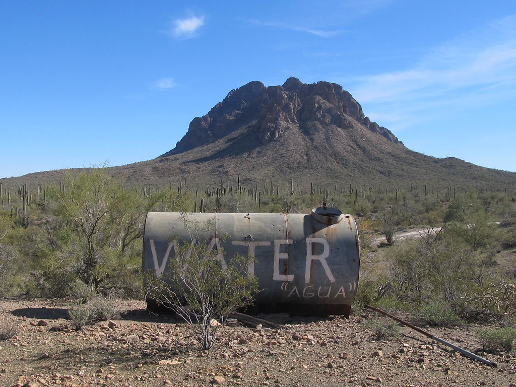 6640M3HikingPhoto: 666isMONEY ☮ ♥ & ☠, CC BY-SA 2.0 (via Flickr)1.6 mi
- 6644C1Hiking3.7 mi
- 6650B1Hiking3.7 mi
- 6645A1Hiking4.4 mi
- 6650H1Hiking5.5 mi
- 6628G3Hiking5.6 mi
- 6639D2Hiking6 mi
- 6630B1Hiking6.3 mi
Source: Roamze catalog (indexable pages within 10 miles, PostGIS distance)
- 6640M3Hiking · ~3 min drivePhoto: 666isMONEY ☮ ♥ & ☠, CC BY-SA 2.0 (via Flickr)
 Sunset Vista TrailHiking · ~24 min drivePhoto: KimonBerlin, CC BY-SA 2.0 (via Flickr)
 Cactus Wren Trail, Access Point 3Hiking · ~31 min drivePhoto: w_lemay, CC BY-SA 2.0 (via Flickr)
 Hugh Norris Big LoopHiking · ~35 min drivePhoto: dconvertini, CC BY-SA 2.0 (via Flickr)
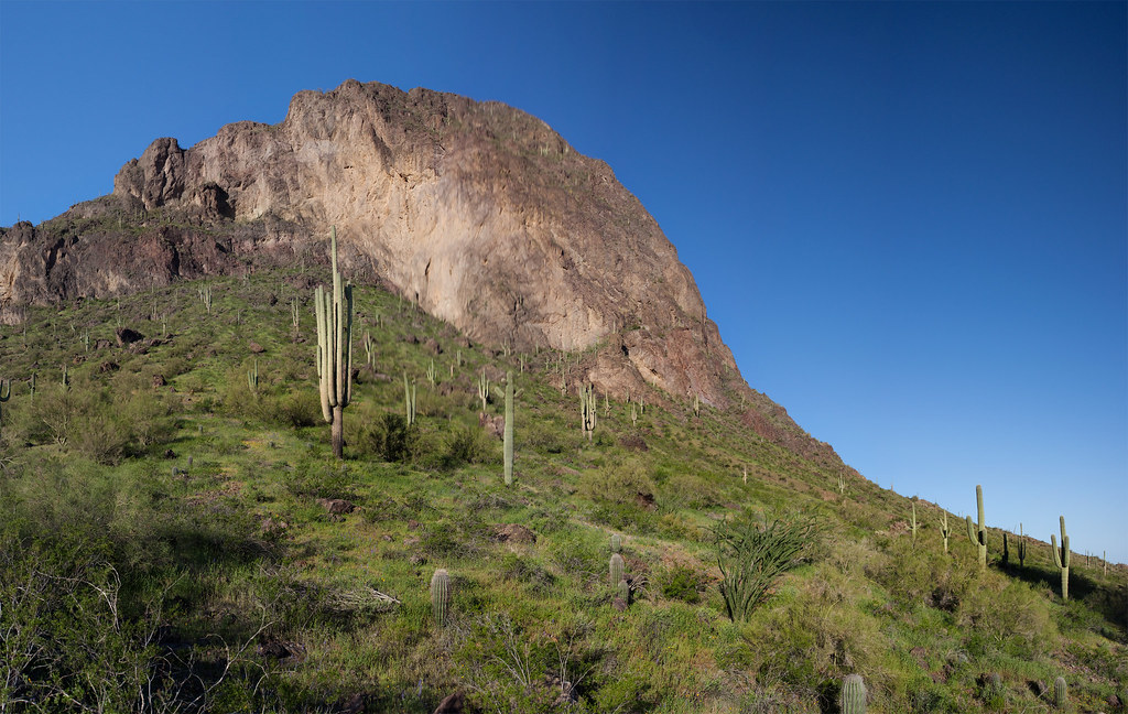 Calloway TrailHiking · ~25 min drivePhoto: squeaks2569, CC BY-SA 2.0 (via Flickr)
- Hunter TrailHiking · ~25 min drivePhoto: squeaks2569, CC BY-SA 2.0 (via Flickr)
- Signal Hill (West District)Hiking · ~33 min drive
 Hugh Norris TrailHiking · ~35 min drivePhoto: dconvertini, CC BY-SA 2.0 (via Flickr)
 Nature TrailHiking · ~25 min drivePhoto: RuggyBearLA, CC BY-SA 2.0 (via Flickr)
 Encinas TrailHiking · ~32 min drivePhoto: w_lemay, CC BY-SA 2.0 (via Flickr)
Best time to visit 6640H1
Best months: November–March. Best months have typical highs of 55–85 °F, lows of 30 °F or warmer (32 °F where the station doesn't record snow), at most one snowy day and no more than 12 wet days.
Jan
67° / 41°
4 wet
Feb
71° / 43°
4 wet
Mar
78° / 48°
3 wet
Apr
86° / 54°
1 wet
May
95° / 63°
1 wet
Jun
104° / 72°
2 wet
Jul
104° / 78°
5 wet
Aug
103° / 78°
6 wet
Sep
99° / 72°
4 wet
Oct
89° / 60°
3 wet
Nov
76° / 49°
3 wet
Dec
66° / 40°
4 wet
Typical high / low (°F) and days with rain or snow, 1991–2020. Measured at Picacho 8 Se, AZ, 14.6 mi away at 1,981 ft. The station sits about 800 ft lower than this place, so expect it a little cooler here. Source: NOAA NCEI U.S. Climate Normals 1991–2020.


