6628g3
- 0.4 mi
- loop
- 12 ft
- climb
- 2,407 ft
- high point
- Loop
- route
- Nov–Apr
- best months
6628G3 is a short, easy loop in Arizona's Ironwood Forest National Monument, managed by the Bureau of Land Management. The trail is 0.35 miles long, with a total elevation gain of 12 feet, and it sits at about 2,390 feet. The route is flat, with a high point of 2,407 feet and a low of 2,385 feet, and the steepest stretch comes at about 0.23 miles in, with a grade of about 2 percent. Spring and fall are the most comfortable times to go. Typical averages from a nearby weather station in Tucson show March highs around 76°F and October highs around 87°F, while June and July average about 102°F. The trail is also open to horses, so riders can bring a mount along. The trip takes about half an hour, and the route is close to several other hikes, including 6630B1, 6639D2 and 6630B2, all within about 3 miles.
- 6630B1Hiking2.5 mi
- 6639D2Hiking2.7 mi
- 6630B2Hiking2.7 mi
- 6624E2Hiking3.2 mi
- 6624E1Hiking3.3 mi
- 6636C1Hiking3.7 mi
- 6640H1Hiking5.6 mi
- 6620F1Hiking5.7 mi
Source: Roamze catalog (indexable pages within 10 miles, PostGIS distance)
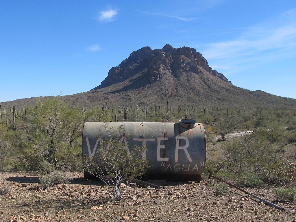 6640M3Hiking · ~11 min drivePhoto: 666isMONEY ☮ ♥ & ☠, CC BY-SA 2.0 (via Flickr)
 Cactus Wren Trail, Access Point 3Hiking · ~25 min drivePhoto: w_lemay, CC BY-SA 2.0 (via Flickr)
 Hugh Norris Big LoopHiking · ~28 min drivePhoto: dconvertini, CC BY-SA 2.0 (via Flickr)
 Encinas TrailHiking · ~26 min drivePhoto: w_lemay, CC BY-SA 2.0 (via Flickr)
- Cactus Wren TrailHiking · ~25 min drivePhoto: w_lemay, CC BY-SA 2.0 (via Flickr)
- Signal Hill (West District)Hiking · ~27 min drive
 Hugh Norris TrailHiking · ~28 min drivePhoto: dconvertini, CC BY-SA 2.0 (via Flickr)
- Desert Winds TrailHiking · ~26 min drivePhoto: w_lemay, CC BY-SA 2.0 (via Flickr)
- Javelina Wash TrailHiking · ~30 min drive
 Wild Dog TrailHiking · ~28 min drivePhoto: InSapphoWeTrust from Los Angeles, California, USA, CC BY-SA 2.0 (via Wikimedia Commons)
Also worth it near here
 Signal HillSummit · ~27 min drivePhoto: hakkun, CC BY-SA 3.0 (via Wikimedia Commons)
 Silverbell Boulders - Closed to allRock climbing · ~32 min drivePhoto: «Gaurav», CC BY-SA 2.0 (via Flickr)
- Triple C TrailMountain biking · ~36 min drive
 Gilbert Ray CampgroundCamping · ~37 min drivePhoto: lamblukas — CC BY 2.0 (via Flickr)
Best time to visit 6628G3
Best months: November–April. Best months have typical highs of 55–85 °F, lows of 30 °F or warmer (32 °F where the station doesn't record snow), at most one snowy day and no more than 12 wet days.
Jan
67° / 39°
4 wet
Feb
70° / 41°
4 wet
Mar
76° / 46°
3 wet
Apr
84° / 51°
1 wet
May
93° / 59°
1 wet
Jun
102° / 69°
2 wet
Jul
102° / 74°
7 wet
Aug
100° / 72°
8 wet
Sep
97° / 68°
5 wet
Oct
87° / 57°
3 wet
Nov
76° / 47°
3 wet
Dec
66° / 39°
4 wet
Typical high / low (°F) and days with rain or snow, 1991–2020. Measured at Tucson 17 Nw, AZ, 17.4 mi away at 2,561 ft. Source: NOAA NCEI U.S. Climate Normals 1991–2020.
