6624e2
- 0.7 mi
- round trip
- 177 ft
- climb
- 2,521 ft
- high point
- Out and back
- route
- Nov–Apr
- best months
This short, easy walk on Bureau of Land Management land in Tucson's BLM Field Office covers about 1.3 miles round trip and rises about 177 feet, from a low of roughly 2,417 feet to a high near 2,521 feet. The climb is gentle, with the steepest stretch coming at about 0.3 miles in, where the grade reaches about 10 percent. The trip takes about half an hour, and the trail is suitable for horses. Spring and fall are the most comfortable times to go. Typical averages from a nearby weather station show October highs around 87°F with lows near 57°F, while June and July average highs of about 102°F. Winter is cooler, with highs in the mid-60s and lows around 39°F. The 6624E1 hike lies just 0.3 miles away, and 6628G3, 6620F1 and 6630B1 are all within about 4.5 miles.
- 6624E1Hiking0.3 mi
- 6628G3Hiking3.2 mi
- 6620F1Hiking3.6 mi
- 6630B1Hiking4.4 mi
- 6630B2Hiking4.6 mi
- 6639D2Hiking4.8 mi
- 6636C1Hiking5.2 mi
- 6620A1Hiking7 mi
Source: Roamze catalog (indexable pages within 10 miles, PostGIS distance)
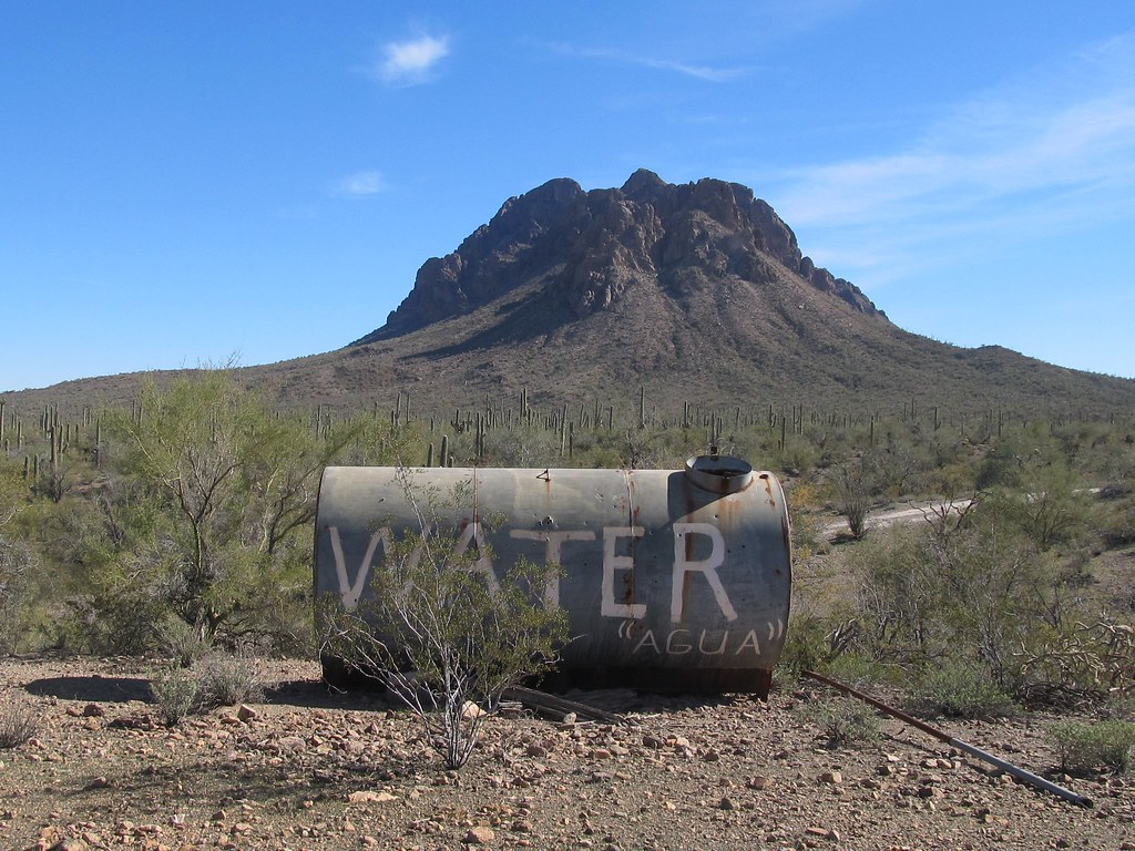 6640M3Hiking · ~16 min drivePhoto: 666isMONEY ☮ ♥ & ☠, CC BY-SA 2.0 (via Flickr)
 Cactus Wren Trail, Access Point 3Hiking · ~24 min drivePhoto: w_lemay, CC BY-SA 2.0 (via Flickr)
 Hugh Norris Big LoopHiking · ~26 min drivePhoto: dconvertini, CC BY-SA 2.0 (via Flickr)
 Encinas TrailHiking · ~25 min drivePhoto: w_lemay, CC BY-SA 2.0 (via Flickr)
- Cactus Wren TrailHiking · ~24 min drivePhoto: w_lemay, CC BY-SA 2.0 (via Flickr)
- Signal Hill (West District)Hiking · ~26 min drive
 Hugh Norris TrailHiking · ~27 min drivePhoto: dconvertini, CC BY-SA 2.0 (via Flickr)
- Desert Winds TrailHiking · ~25 min drivePhoto: w_lemay, CC BY-SA 2.0 (via Flickr)
- Javelina Wash TrailHiking · ~28 min drive
- Bajada Wash TrailHiking · ~26 min drivePhoto: dconvertini, CC BY-SA 2.0 (via Flickr)
Also worth it near here
 Signal HillSummit · ~26 min drivePhoto: hakkun, CC BY-SA 3.0 (via Wikimedia Commons)
 Silverbell Boulders - Closed to allRock climbing · ~33 min drivePhoto: «Gaurav», CC BY-SA 2.0 (via Flickr)
 Gilbert Ray CampgroundCamping · ~34 min drivePhoto: lamblukas — CC BY 2.0 (via Flickr)
- North TrailMountain biking · ~35 min drive
Best time to visit 6624E2
Best months: November–April. Best months have typical highs of 55–85 °F, lows of 30 °F or warmer (32 °F where the station doesn't record snow), at most one snowy day and no more than 12 wet days.
Jan
67° / 39°
4 wet
Feb
70° / 41°
4 wet
Mar
76° / 46°
3 wet
Apr
84° / 51°
1 wet
May
93° / 59°
1 wet
Jun
102° / 69°
2 wet
Jul
102° / 74°
7 wet
Aug
100° / 72°
8 wet
Sep
97° / 68°
5 wet
Oct
87° / 57°
3 wet
Nov
76° / 47°
3 wet
Dec
66° / 39°
4 wet
Typical high / low (°F) and days with rain or snow, 1991–2020. Measured at Tucson 17 Nw, AZ, 16.2 mi away at 2,561 ft. Source: NOAA NCEI U.S. Climate Normals 1991–2020.
