Yoholo Micco, the Creek Indian Trail
- 0.8 mi
- round trip
- 337 ft
- climb
- 284 ft
- high point
- Out and back
- route
- Oct–Apr
- best months
Yoholo Micco, the Creek Indian Trail is an easy out-and-back hike in Alabama, about half a mile from the town of Eufaula. The trail is short, about 1.5 miles long, and the round trip includes a total climb of about 337 feet, with the steepest stretch around the 0.66-mile mark. The route is rolling, with the highest point at 284 feet and the lowest at 182 feet. It's a gentle walk, and the trip can be done in about half an hour. Spring and fall are the most comfortable times to go. Typical averages from a nearby weather station show October highs around 81°F with lows near 55°F, while July and August average highs in the mid-90s. Lakepoint State Park, about 6.6 miles away, offers lake fishing. The Nature Trail is roughly 7.9 miles off, and Barbour Creek, a canoeing spot, is about 9.5 miles away.
Source: Roamze catalog (indexable pages within 10 miles, PostGIS distance)
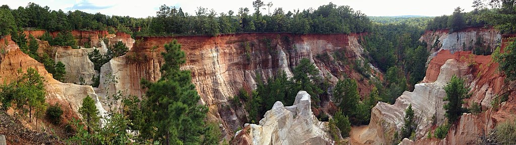 Canyon Loop TrailHiking · ~31 min drivePhoto: StephenGA, Public Domain Dedication (CC0) (via Flickr)
 Backcountry TrailHiking · ~31 min drivePhoto: StephenGA, Public Domain Dedication (CC0) (via Flickr)
- CanyonsHiking · ~31 min drivePhoto: StephenGA, Public Domain Dedication (CC0) (via Flickr)
- Lumpkin TrailHiking · ~54 min drive
- Yoholo Micco, the Creek Indian TrailHiking · ~2 min drive
- County Line TrailHiking · ~1h 12m drive
- Nature TrailHiking · ~13 min drive
- Buzancy TrailHiking · ~1h 18m drive
- Cotton Hill Nature TrailHiking · ~27 min drive
- Clayton City Walking TrailHiking · ~31 min drive
Best time to visit Yoholo Micco, the Creek Indian Trail
Best months: October–April. Best months have typical highs of 55–85 °F, lows of 30 °F or warmer (32 °F where the station doesn't record snow), at most one snowy day and no more than 12 wet days.
Jan
61° / 37°
Feb
66° / 40°
Mar
73° / 46°
Apr
80° / 52°
May
87° / 60°
Jun
92° / 68°
Jul
94° / 71°
Aug
94° / 71°
Sep
89° / 66°
Oct
81° / 55°
Nov
71° / 44°
Dec
63° / 40°
Typical high / low (°F) and days with rain or snow, 1991–2020. Measured at Weedon Fld Ap, AL, 3.9 mi away at 285 ft. This station doesn't record snowfall. Source: NOAA NCEI U.S. Climate Normals 1991–2020.
Map and trail data © OpenStreetMap contributors
