Barber Mountain
- 2,959 ft
- summit
- BC Parks
- managed by
- May–Sep
- best months
Barber Mountain is a mountain in British Columbia, Canada, with its summit at about 2,960 ft (902 m) above sea level. It stands inside South Okanagan Grasslands Protected Area. No mapped trail reaches the top in OpenStreetMap, so plan the approach with local maps or a guide. The nearest town is Osoyoos, about 10 miles west of the summit. The location and elevation come from OpenStreetMap and the Copernicus 90 m elevation model. Check local access rules and conditions before you go.
Conditions and forecast
Daily highs and lows, wind and the chance of precipitation at the summit for the next 7 days, from the Open-Meteo model.
- Summit elevation
- 2,959 ft
- Land manager
- BC Parks
We don't know of a mapped trail or route to the summit of Barber Mountain. Plan the approach with local maps, a guidebook or a local guide, and check conditions before you go.
Questions about Barber Mountain
How tall is Barber Mountain?
2,959 ft (902 m).
Is there a trail to the top of Barber Mountain?
We don't know of a mapped trail or route to the summit. Plan the approach with local maps, a guidebook or a local guide.
- Topaz Mountain7,782 ft · Washington1 route14 mi away
- Reed Peak7,520 ft · Washington1 route22 mi away
- North Twentymile Peak7,440 ft · Washington1 route24 mi away
 Tiffany Mountain8,243 ft · Washington1 route25 mi awayPhoto: Peter Stevens, Seattle, Washington, USA, CC BY 2.0 (via Wikimedia Commons)
- Muckamuck Mountain6,369 ft · Washington1 route28 mi away
- Doe Mountain7,157 ft · Washington1 route30 mi away
 Chopaka MountainSummit · ~9 min drivePhoto: Nwcamera1, CC BY-SA 3.0 (via Wikimedia Commons)
 Horseshoe MountainSummit · ~19 min drivePhoto: Djs417, CC BY-SA 4.0 (via Wikimedia Commons)
 Apex MountainSummit · ~36 min drivePhoto: Maurice King, CC BY 2.0 (via Wikimedia Commons)
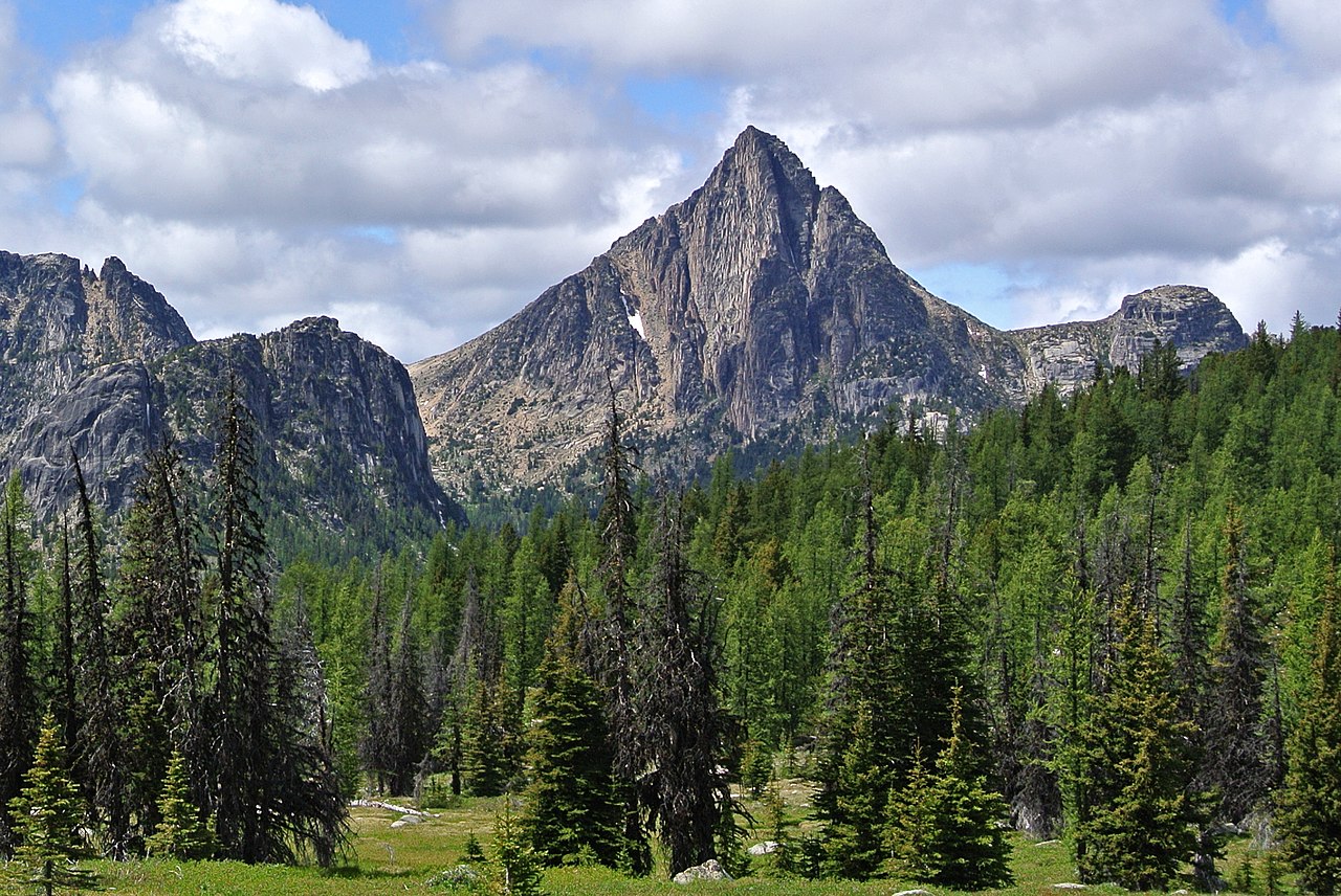 Cathedral PeakSummit · ~39 min drivePhoto: Maurice King, CC BY 2.0 (via Wikimedia Commons)
 Amphitheater MountainSummit · ~39 min drivePhoto: Maurice King, CC BY 2.0 (via Wikimedia Commons)
 Remmel MountainSummit · ~41 min drivePhoto: Maurice King, CC BY 2.0 (via Wikimedia Commons)
 Windy PeakSummit · ~24 min drivePhoto: Maurice King, CC BY 2.0 (via Wikimedia Commons)
- Richter MountainSummit · ~7 min drive
- Mount KobauSummit · ~13 min drive
- Snowy MountainSummit · ~15 min drive
Best time to visit Barber Mountain
Best months: May–September. Best months have typical highs of 55–85 °F, lows of 30 °F or warmer (32 °F where the station doesn't record snow), at most one snowy day and no more than 12 wet days.
Jan
29° / 16°
Feb
33° / 19°
Mar
41° / 26°
Apr
51° / 32°
May
60° / 41°
Jun
67° / 46°
Jul
77° / 52°
Aug
77° / 52°
Sep
68° / 44°
Oct
52° / 33°
Nov
36° / 25°
Dec
28° / 16°
Typical high / low (°F) and days with rain or snow, 1991–2020. Measured at Tonasket 11ne, WA, 24.1 mi away at 3,434 ft. This station doesn't record snowfall. Source: NOAA NCEI U.S. Climate Normals 1991–2020.

Map and trail data © OpenStreetMap contributors
