Weston Mountain
At a glance
Weston Mountain is a summit in New York, rising to 3,204 feet. The nearest town is Elizabethtown, about 6.5 miles away. Summer is the most comfortable time to go. Typical averages from a nearby weather station at Lake Placid show July highs around 74°F with lows near 54°F, and temperatures on the summit run cooler than that station's figures because it sits about 1,300 feet lower. Several trails start close by. The Soda Range Trail, North Hurricane Trail and Gulf Brook Trail are each about 0.9 miles away, and the Little and Big Crow Trail is about 1.4 miles off. Climbers can find Hurricane Crag and Typhoon Wall about 3.4 miles away.
- summit
- 3,204 ft
- way up
- 1
Near: South Burlington
Best time to visit Weston Mountain
No month here meets our mild-weather rule. Best months have typical highs of 55–85 °F, lows of 30 °F or warmer (32 °F where the station doesn't record snow), at most one snowy day and no more than 12 wet days.
Jan
23°
6°
18 wet
Feb
27°
8°
14 wet
Mar
36°
16°
14 wet
Apr
49°
29°
14 wet
May
62°
40°
15 wet
Jun
70°
49°
14 wet
Jul
74°
54°
14 wet
Aug
73°
52°
13 wet
Sep
66°
45°
13 wet
Oct
52°
35°
15 wet
Nov
40°
25°
16 wet
Dec
28°
14°
18 wet
Typical high / low (°F) and days with rain or snow, 1991–2020. Measured at Lake Placid 2 S, NY, 14 mi away at 1,888 ft. The station sits about 1,300 ft lower than this place, so expect it a little cooler here. This station doesn't record snowfall. Source: NOAA NCEI U.S. Climate Normals 1991–2020.
Been here? Tell people how it was.
Map © Mapbox © OpenStreetMap contributors - Big Crow Mountain2,829 ft · New York1 route1.6 mi away
- Little Crow Mountain2,577 ft · New York1 route2.0 mi away
 Hurricane Mountain3,696 ft · New York3 routes2.0 mi awayPhoto: Mwanner, CC BY-SA 3.0 (via Wikimedia Commons)
- Saddleback Mountain3,621 ft · New York1 route2.9 mi away
- Jay Mountain3,386 ft · New York1 route3.5 mi away
- Jay Mountains3,602 ft · New York1 route3.9 mi away
- Hurricane MountainSummitPhoto: Mwanner, CC BY-SA 3.0 (via Wikimedia Commons)~3 min drive
 Porter MountainSummitPhoto: Mwanner, CC BY-SA 3.0 (via Wikimedia Commons)~14 min drive
 Cascade MountainSummitPhoto: Laurent Gélinas, CC BY-SA 3.0 (via Wikimedia Commons)~14 min drive
 Pitchoff MountainSummitPhoto: Mwanner, CC BY-SA 3.0 (via Wikimedia Commons)~15 min drive
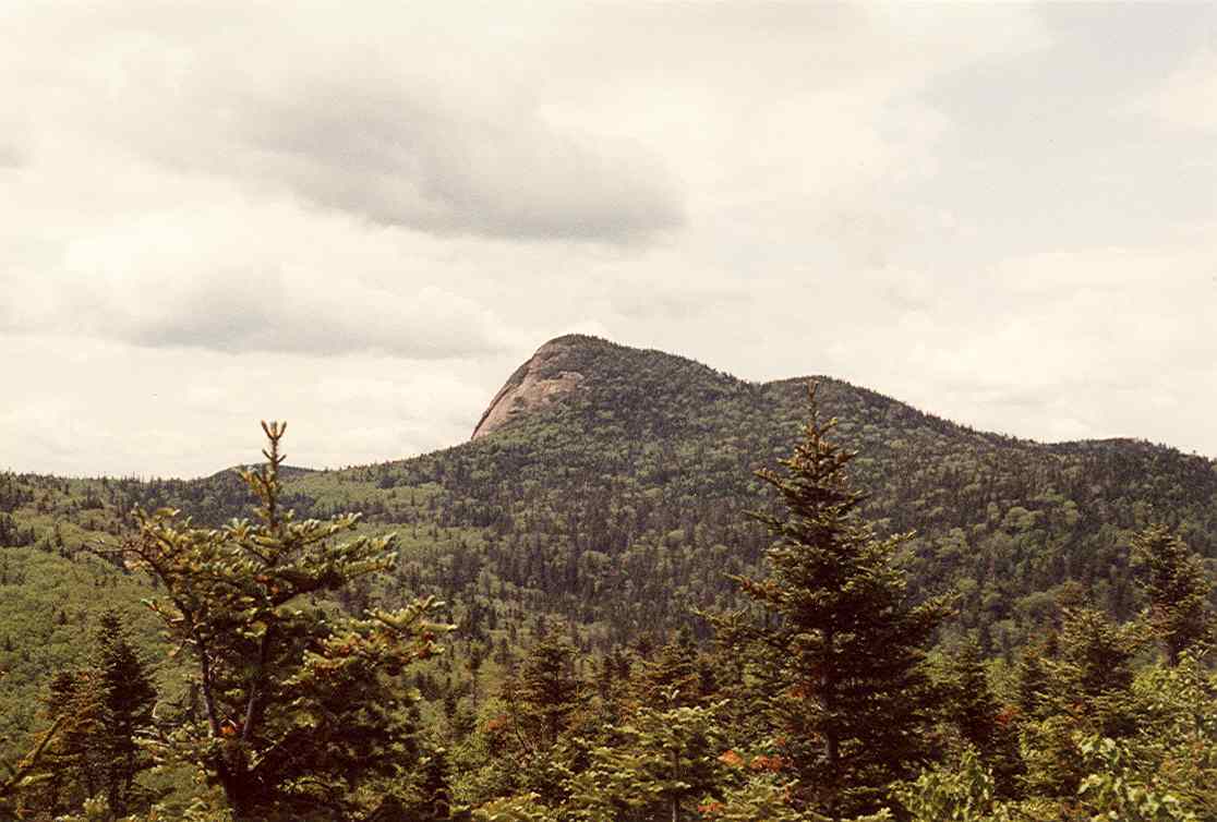 Big Slide MountainSummitPhoto: petersent, Public domain (via Wikimedia Commons)~17 min drive
 Noonmark MountainSummitPhoto: Mwanner, CC BY-SA 3.0 (via Wikimedia Commons)~17 min drive
 Upper Wolfjaw MountainSummitPhoto: Mwanner
Uploaded by Mwanner at en.wikipedia, CC BY-SA 3.0 (via Wikimedia Commons)~19 min drive
 Armstrong MountainSummitPhoto: Mwanner, CC BY-SA 3.0 (via Wikimedia Commons)~20 min drive
- Big Crow MountainSummit~3 min drive
- Little Crow MountainSummit~3 min drive
Conditions and forecast
Daily highs and lows, wind and the chance of precipitation at the summit and route start for the next 7 days, from the Open-Meteo model.
Questions about Weston Mountain
How tall is Weston Mountain?
3,204 ft (977 m).
How many routes go to the summit of Weston Mountain?
One: Soda Range Trail.

Ask about this place
Questions about Weston Mountain: conditions, access, timing. Answers say when something isn't known.
