
Mountain · 2 routes
Porter Mountain
4,080 ft · New York
Photo: Mwanner, CC BY-SA 3.0 (via Wikimedia Commons)
- Summit
- 4,080 ft
- Routes
- 2 ways up
Routes up Porter Mountain
- Porter Mountain TrailModerateabout 285 ft of climbing0.6 miSee the route
- Porter Ridge TrailModerateabout 3,280 ft of climbing4.0 miSee the route
| Porter Mountain Trail | Porter Ridge Trail | |
|---|---|---|
| Climbing | About 285 ft | About 3,280 ft |
| Round trip | 0.6 mi | 4.0 mi |
| Difficulty | Moderate | Moderate |
| Terrain | Hike | Hike |
About Porter Mountain
Porter Mountain is a summit in New York, 4080 feet elevation. It is reached by the Porter Ridge Trail, a 4-mile trail with 3280 feet of elevation gain.
Forecast on Porter Mountain
Daily highs and lows, wind and the chance of precipitation at the summit and route start for the next 7 days, from the Open-Meteo model.
Questions about Porter Mountain
How tall is Porter Mountain?
4,080 ft (1,244 m).
How many routes go to the summit of Porter Mountain?
2: Porter Mountain Trail and Porter Ridge Trail.
What is the shortest route up Porter Mountain?
Porter Mountain Trail, about 0.6 mi.
Mountains nearby
 Cascade Mountain4,099 ft · New York1 route0.6 mi awayPhoto: Laurent Gélinas, CC BY-SA 3.0 (via Wikimedia Commons)
 Pitchoff Mountain3,505 ft · New York1 route2.1 mi awayPhoto: Mwanner, CC BY-SA 3.0 (via Wikimedia Commons)
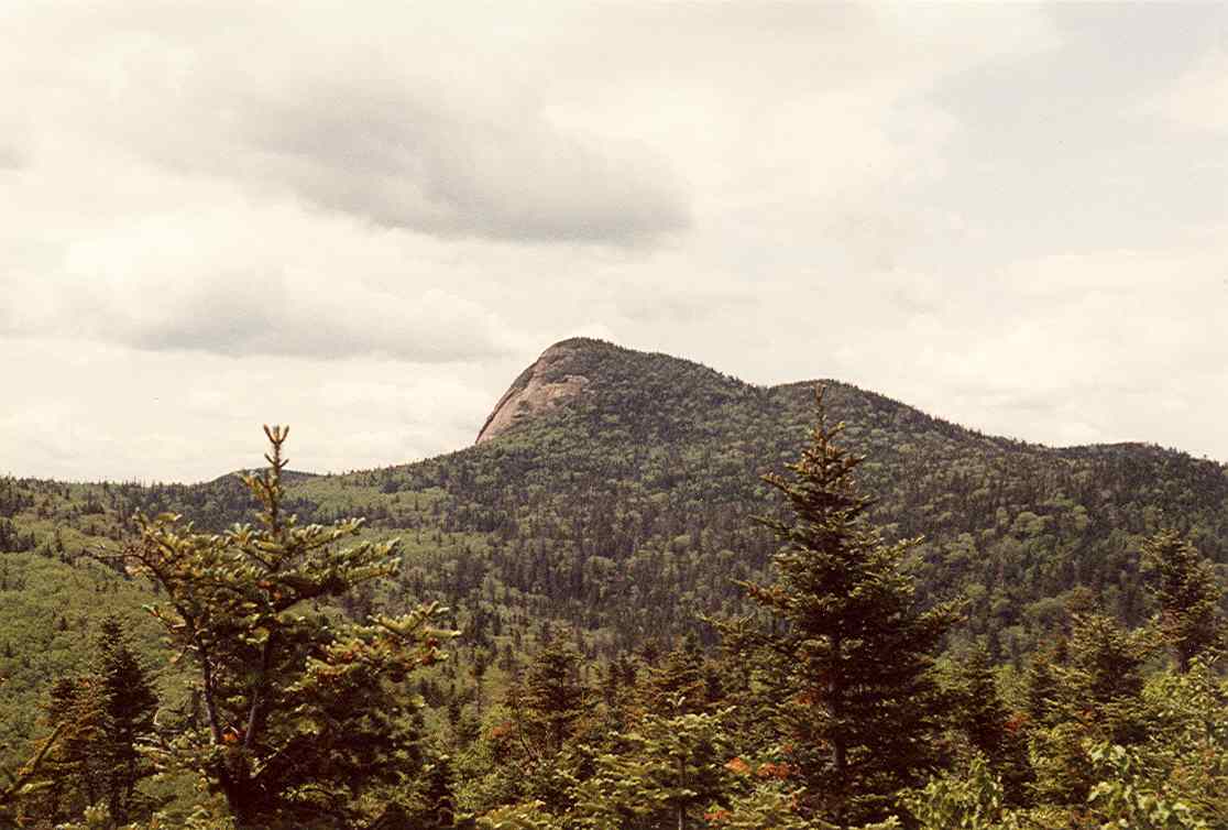 Big Slide Mountain4,251 ft · New York2 routes2.2 mi awayPhoto: petersent, Public domain (via Wikimedia Commons)
- Owls Head2,169 ft · New York1 route2.9 mi away
- Yard Mountain4,027 ft · New York1 route3.0 mi away
- Rooster Comb2,786 ft · New York1 route3.4 mi away
Facts about this place
Nearby
 Porter Ridge TrailHikingPhoto: matt.a, CC BY 3.0 (via Wikimedia Commons)0.1 mi
- Porter Mountain TrailHikingPhoto: matt.a, CC BY 3.0 (via Wikimedia Commons)0.5 mi
- Cascade Mountain TrailHikingPhoto: matt.a, CC BY 3.0 (via Wikimedia Commons)0.5 mi
- Pitchoff Chimney CliffRock climbing1.7 mi
- Pitchoff Mountain TrailHiking2.2 mi
- Hilltop DriveRock climbing2.3 mi
- VictorRock climbing2.3 mi
- West Branch Ausable RiverCanoeing5 mi
Source: Roamze catalog (indexable pages within 10 miles, PostGIS distance)
