West Peak
At a glance
West Peak is a summit in Vermont, rising to 2,806 feet about 2.3 miles from the town of East Burke. It sits in a cluster of trails, with several hiking routes starting within a short distance of the top. Summer and early fall are the most comfortable times to go. Typical averages from a nearby weather station in Sutton show July highs around 76°F and September highs near 67°F, with September also seeing the fewest wet days of the year. That station sits well below the summit, so temperatures up high run cooler. The West Peak Trail and the Red Trail both start about 0.3 miles away, and the Profile Trail is about half a mile off. Mountain bikers can head to the Free Ride trail, roughly 0.7 miles away.
- summit
- 2,806 ft
- best months
- Sep
Near: East Burke · 2.3 mi
Best time to visit West Peak
Best months: September. Best months have typical highs of 55–85 °F, lows of 30 °F or warmer (32 °F where the station doesn't record snow), at most one snowy day and no more than 12 wet days.
Jan
23°
4°
21 wet
Feb
27°
6°
18 wet
Mar
35°
16°
17 wet
Apr
49°
29°
16 wet
May
63°
42°
16 wet
Jun
71°
51°
16 wet
Jul
76°
56°
15 wet
Aug
74°
54°
14 wet
Sep
67°
47°
12 wet
Oct
54°
35°
16 wet
Nov
40°
25°
17 wet
Dec
29°
13°
21 wet
Typical high / low (°F) and days with rain or snow, 1991–2020. Measured at Sutton, VT, 7.7 mi away at 1,500 ft. The station sits about 1,300 ft lower than this place, so expect it a little cooler here. This station doesn't record snowfall. Source: NOAA NCEI U.S. Climate Normals 1991–2020.
Been here? Tell people how it was.
We don't know of a mapped trail or route to the summit of West Peak. Plan the approach with local maps, a guidebook or a local guide, and check conditions before you go.
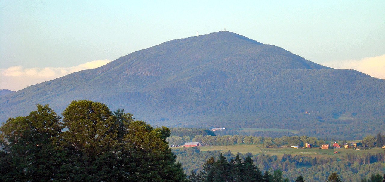 Burke Mountain3,263 ft · Vermont2 routes0.5 mi awayPhoto: From the nek, CC BY-SA 3.0 (via Wikimedia Commons)
 Mount Pisgah2,761 ft · Vermont2 routes13 mi awayPhoto: Lostdrewid, CC BY-SA 3.0 (via Wikimedia Commons)
- Bald Mountain3,323 ft · Vermont2 routes14 mi away
- Big Rock Hill2,187 ft · Vermont1 route14 mi away
- Wheeler Mountain2,369 ft · Vermont1 route15 mi away
- Prospect Mountain2,064 ft · New Hampshire1 route18 mi away
- Burke MountainSummitPhoto: From the nek, CC BY-SA 3.0 (via Wikimedia Commons)Next door
- Mount PisgahSummitPhoto: Lostdrewid, CC BY-SA 3.0 (via Wikimedia Commons)~22 min drive
 The HornSummitPhoto: Ken Gallager at en.wikipedia, Public domain (via Wikimedia Commons)~43 min drive
 Mount HaleSummitPhoto: Ken Gallager, CC BY-SA 4.0 (via Wikimedia Commons)~53 min drive
 Mont BarnstonSummitPhoto: Richard Coté, CC BY-SA 4.0 (via Wikimedia Commons)~53 min drive
 Mont PinacleSummitPhoto: Ethier254, CC BY-SA 4.0 (via Wikimedia Commons)~54 min drive
 North Twin MountainSummitPhoto: Ken Gallager at English Wikipedia, Public domain (via Wikimedia Commons)~52 min drive
 Mount LafayetteSummitPhoto: User:Paulbalegend, CC BY-SA 3.0 (via Wikimedia Commons)~53 min drive
 South Twin MountainSummitPhoto: Tim Sackton, CC BY-SA 2.0 (via Wikimedia Commons)~54 min drive
- Bald MountainSummit~24 min drive
Conditions and forecast
Daily highs and lows, wind and the chance of precipitation at the summit for the next 7 days, from the Open-Meteo model.
Questions about West Peak
How tall is West Peak?
2,806 ft (855 m).
Is there a trail to the top of West Peak?
We don't know of a mapped trail or route to the summit. Plan the approach with local maps, a guidebook or a local guide.


Ask about this place
Questions about West Peak: conditions, access, timing. Answers say when something isn't known.
