Sugarloaf II Campground
Campground
Campground · 2.5 mi from the trail
 Photo: Ken Gallager, CC BY-SA 4.0 (via Wikimedia Commons)
Closure in the area
There's a closure order in White Mountain National Forest. It doesn't name Mount Hale, so check the source for the area it covers (2 listed).
Wild River Fire - Androscoggin Ranger District
Agency closure covering White Mountain National Forest · USFS · White Mountain National Forest
Rattlesnake Fire – Pemigewasset Ranger District
Agency closure covering White Mountain National Forest · USFS · White Mountain National Forest
Town Hall Road Camping and Fire Restrictions
Agency alert covering White Mountain National Forest · USFS · White Mountain National Forest
Lincoln Woods Trail Closure
Agency alert covering White Mountain National Forest · USFS · White Mountain National Forest
Forest Roads Status
Agency alert covering White Mountain National Forest · USFS · White Mountain National Forest
As of · Source: USFS · White Mountain National Forest. Agencies don't list every closure — check before you go.
Mount Hale is a summit in the Pemigewasset Ranger District of the White Mountain National Forest in New Hampshire. Twin Mountain, about 3.7 miles away, is the nearest town and the natural base for a visit. Trails nearby include Fire Warden's Trail, about 1.3 miles off, and Hale Brook at roughly 1.6 miles. Zealand lies about 1.7 miles away. For an overnight stay, Sugarloaf 2 Campground sits about 2.5 miles from the summit.
Sugarloaf II Campground
Campground
 If it rainsKen Gallager, CC BY-SA 4.0 · Wikimedia Commons
Places © OpenStreetMap contributors · Photos: Ken Gallager, CC BY-SA 4.0 (commons)
More in North ConwayDaily highs and lows, wind and the chance of precipitation at the summit and route start for the next 7 days, from the Open-Meteo model.
Elevation from USGS 3D Elevation Program terrain data (about 10 m resolution).
| Fire Warden's Trail | Hale Brook | Lend-A-Hand | |
|---|---|---|---|
| Starts at | — | Hale Brook Trailhead | — |
| Climbing | About 2,799 ft | About 2,649 ft | About 1,516 ft |
| Round trip | 4.3 mi | 4.4 mi | 5.4 mi |
| Difficulty | Hard | Moderate | Moderate |
| Terrain | Hike | Hike | Hike |
| Season | — | Year-round | Year-round |
4,063 ft (1,238 m).
3: Fire Warden's Trail, Hale Brook and Lend-A-Hand.
Fire Warden's Trail, about 4.3 mi round trip.
Hale Brook starts at Hale Brook Trailhead (about 1,784 ft).
Year-round.


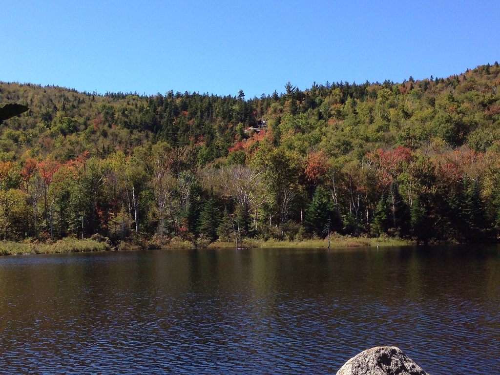 ZealandHikingPhoto: alans1948, CC BY 2.0 (via Flickr)1.7 mi
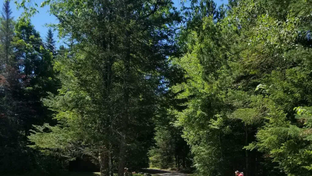 Sugarloaf 2 CampgroundCampingPhoto: Recreation.gov (RIDB) / public domain2.5 mi
 Omni Mount Washington Resort, Bretton WoodsLake fishing3.7 mi
Source: Roamze catalog (indexable pages within 10 miles, PostGIS distance)
South Twin MountainSummit · ~5 min drivePhoto: Tim Sackton, CC BY-SA 2.0 (via Wikimedia Commons) Mount BondSummit · ~8 min drivePhoto: Photo by Ken Gallager, Public domain (via Wikimedia Commons)
 Mount WillardSummit · ~9 min drivePhoto: Ken Gallager, CC BY-SA 4.0 (via Wikimedia Commons)
 Mount WilleySummit · ~9 min drivePhoto: wwoods, CC BY-SA 3.0 (via Wikimedia Commons)
 Mount WebsterSummit · ~11 min drivePhoto: Edison490 at English Wikipedia, Public domain (via Wikimedia Commons)
 Owls HeadSummit · ~13 min drivePhoto: Ken Gallager at English Wikipedia, Public domain (via Wikimedia Commons)
 Mount LafayetteSummit · ~13 min drivePhoto: User:Paulbalegend, CC BY-SA 3.0 (via Wikimedia Commons)
 Mount WashingtonSummit · ~19 min drivePhoto: wwoods, CC BY-SA 3.0 (via Wikimedia Commons)
 Mount JeffersonSummit · ~19 min drivePhoto: Paulbalegend at English Wikipedia, CC BY-SA 3.0 (via Wikimedia Commons)North Twin MountainSummit · ~5 min drivePhoto: Ken Gallager at English Wikipedia, Public domain (via Wikimedia Commons)
