Big Rock Hill
- 2,187 ft
- summit
- 1
- way up
- Sep
- best months
Big Rock Hill is a summit in Vermont, 2,187 feet elevation. It is reached by the Summit Loop Trail, a public trail that passes within 150 meters of the summit.
Conditions and forecast
Daily highs and lows, wind and the chance of precipitation at the summit and route start for the next 7 days, from the Open-Meteo model.
- Summit elevation
- 2,187 ft
Elevation from USGS 3D Elevation Program terrain data (about 10 m resolution).
Map © Mapbox © OpenStreetMap contributors Questions about Big Rock Hill
How tall is Big Rock Hill?
2,187 ft (667 m).
How many routes go to the summit of Big Rock Hill?
One: Summit Loop Trail.
- Wheeler Mountain2,369 ft · Vermont1 route4.6 mi away
 Mount Pisgah2,761 ft · Vermont2 routes6.6 mi awayPhoto: Lostdrewid, CC BY-SA 3.0 (via Wikimedia Commons)
- Bald Mountain3,323 ft · Vermont2 routes9.8 mi away
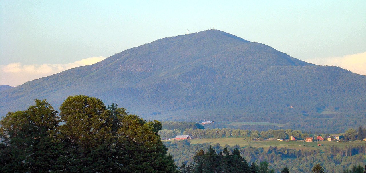 Burke Mountain3,263 ft · Vermont2 routes15 mi awayPhoto: From the nek, CC BY-SA 3.0 (via Wikimedia Commons)
- Mount Norris2,578 ft · Vermont1 route17 mi away
- Bluff Mountain2,799 ft · Vermont1 route19 mi away
 Summit Loop TrailHikingPhoto: Roman Eugeniusz, CC BY-SA 3.0 (via Wikimedia Commons)0.3 mi
- Holbrook TrailHikingPhoto: Roman Eugeniusz, CC BY-SA 3.0 (via Wikimedia Commons)0.4 mi
- Moose Mountain TrailHiking3.4 mi
- e. The Great CornerRock climbing4.5 mi
- Wheeler MountainRock climbing4.5 mi
- Miller RunCanoeing5.2 mi
- Mount HorRock climbing5.5 mi
- Willoughby RiverCanoeing8.1 mi
Source: Roamze catalog (indexable pages within 10 miles, PostGIS distance)
- Mount PisgahSummit · ~11 min drivePhoto: Lostdrewid, CC BY-SA 3.0 (via Wikimedia Commons)
- Burke MountainSummit · ~25 min drivePhoto: From the nek, CC BY-SA 3.0 (via Wikimedia Commons)
 Jay PeakSummit · ~43 min drivePhoto: Hanumanix at English Wikipedia, Public domain (via Wikimedia Commons)
 Big JaySummit · ~43 min drivePhoto: Petersent, Public domain (via Wikimedia Commons)
 Mont BarnstonSummit · ~44 min drivePhoto: Richard Coté, CC BY-SA 4.0 (via Wikimedia Commons)
 Mont PinacleSummit · ~46 min drivePhoto: Ethier254, CC BY-SA 4.0 (via Wikimedia Commons)
 Mont Owl's HeadSummit · ~47 min drivePhoto: Kevstan, CC BY-SA 3.0 (via Wikimedia Commons)
- Wheeler MountainSummit · ~8 min drive
- Bald MountainSummit · ~17 min drive
- West PeakSummit · ~25 min drive
Best time to visit Big Rock Hill
Best months: September. Best months have typical highs of 55–85 °F, lows of 30 °F or warmer (32 °F where the station doesn't record snow), at most one snowy day and no more than 12 wet days.
Jan
23° / 4°
21 wet
Feb
27° / 6°
18 wet
Mar
35° / 16°
17 wet
Apr
49° / 29°
16 wet
May
63° / 42°
16 wet
Jun
71° / 51°
16 wet
Jul
76° / 56°
15 wet
Aug
74° / 54°
14 wet
Sep
67° / 47°
12 wet
Oct
54° / 35°
16 wet
Nov
40° / 25°
17 wet
Dec
29° / 13°
21 wet
Typical high / low (°F) and days with rain or snow, 1991–2020. Measured at Sutton, VT, 7 mi away at 1,500 ft. The station sits about 700 ft lower than this place, so expect it a little cooler here. This station doesn't record snowfall. Source: NOAA NCEI U.S. Climate Normals 1991–2020.
