Ute Trail
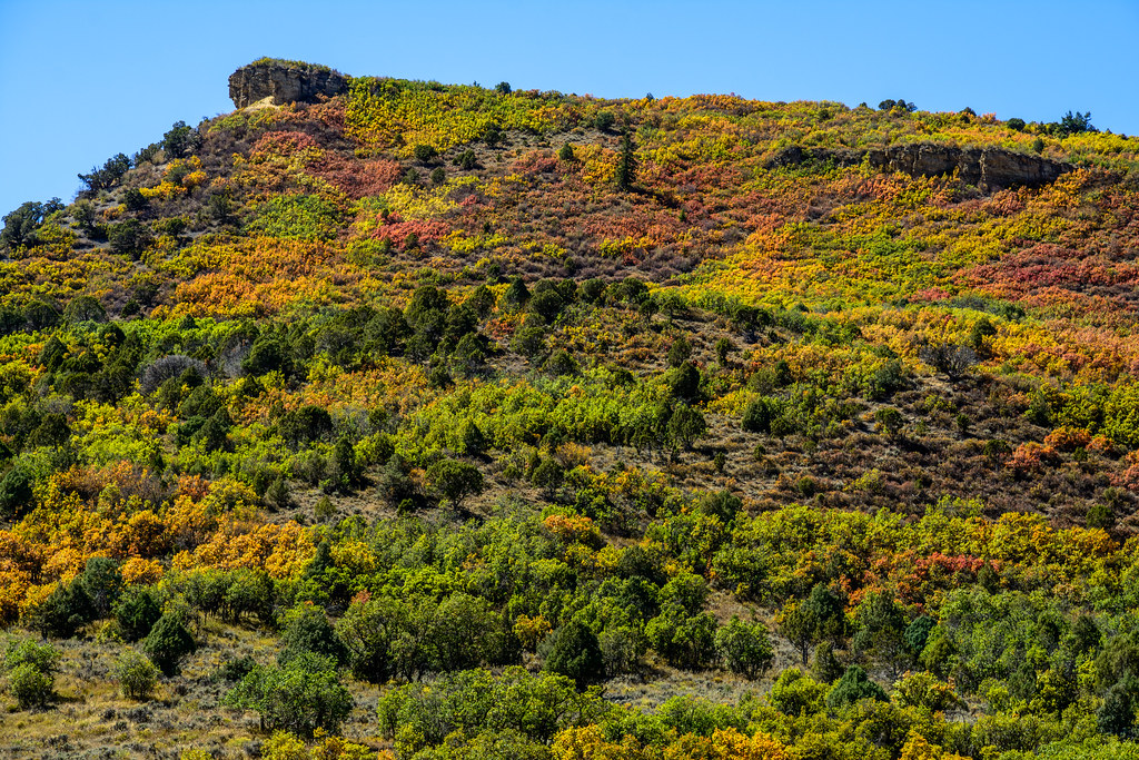
 Photo: Baker Pics and Whatnot, CC BY-SA 2.0 (via Flickr)
At a glance
Ute Trail is a 5.36-mile out-and-back hike in Colorado with 1,044 feet of elevation gain.
- round trip
- 2.7 mi
- climb
- 1,044 ft
- high point
- 11,165 ft
- route
- Out and back
- best months
- Jun–Aug
Near: Aspen
Best time to visit Ute Trail
Best months: June–August. Best months have typical highs of 55–85 °F, lows of 30 °F or warmer (32 °F where the station doesn't record snow), at most one snowy day and no more than 12 wet days.
Jan
31°
3°
8 wet
Feb
33°
3°
8 wet
Mar
39°
9°
8 wet
Apr
44°
18°
8 wet
May
55°
27°
9 wet
Jun
68°
34°
9 wet
Jul
73°
39°
12 wet
Aug
70°
38°
12 wet
Sep
62°
31°
8 wet
Oct
51°
23°
6 wet
Nov
39°
14°
7 wet
Dec
31°
6°
7 wet
Typical high / low (°F) and days with rain or snow, 1991–2020. Measured at Sugarloaf Rsvr, CO, 24.9 mi away at 9,738 ft. The station sits about 1,400 ft lower than this place, so expect it a little cooler here. This station doesn't record snowfall. Source: NOAA NCEI U.S. Climate Normals 1991–2020.
Been here? Tell people how it was.
- Cherry TrailHikingPhoto: Baker Pics and Whatnot, CC BY-SA 2.0 (via Flickr)Next door
 Congo TrailHikingPhoto: randomduck, CC BY-SA 2.0 (via Flickr)~3 min drive
 Ajax TrailHikingPhoto: Frans-Banja Mulder, CC BY 3.0 (via Wikimedia Commons)~4 min drive
 Little Nell TrailHikingPhoto: dconvertini, CC BY-SA 2.0 (via Flickr)~4 min drive
- SMUGGLERS CUTOFFHiking~6 min drive
- Difficult CreekHiking~4 min drive
- Water Plant TrailHikingPhoto: Frans-Banja Mulder, CC BY 3.0 (via Wikimedia Commons)~4 min drive
- Conundrum CreekHiking~6 min drive
 Thunderbowl TrailHikingPhoto: Cloudforest, CC BY 2.0 (via Flickr)~5 min drive
- Lower Maroon CreekHiking~6 min drive
Also worth it near here
 Aspen MountainSummitPhoto: CC BY-SA 3.0 (via Wikimedia Commons)~1 min drive
 North Star Loop Tr.Cross-country skiingPhoto: This Photo was taken by Wolfgang Moroder.
Feel free to use my photos, but please mention me as the author and send me a message.
This image is not in the public domain. Please respect the copyright protection. It may only be used according to the rules mentioned here. This specifically excludes use in social media, if applicable terms of the licenses listed here not appropriate.
Please do not upload an updated image here without consultation with the Author. The author would like to make corrections only at his own source. This ensures that the changes are preserved.Please if you think that any changes should be required, please inform the author.Otherwise you can upload a new image with a new name. Please use one of the templates derivative or extract., CC BY-SA 3.0 (via Wikimedia Commons)~3 min drive
- Castle CreekCanoeing~5 min drive
- Top of the RockiesScenic drive~6 min drive
Conditions and forecast
Caution todayAgency alerts are in effect for this areaUSFS · checked 5 min agoDaily highs and lows, wind and the chance of precipitation at Ute Trail for the next 7 days, from the Open-Meteo model.
Ask about this place
Questions about Ute Trail: conditions, access, timing. Answers say when something isn't known.
Go with a guide
- Mineral Belt Trail Guided WalkNexPM AI · $25 per person · 29 mi away
- Maroon Bells Guide and Outfitters3 mi away
Map and trail data © OpenStreetMap contributors
