Thunderbowl Trail
 Photo: Cloudforest, CC BY 2.0 (via Flickr)
- 0.4 mi
- round trip
- 194 ft
- climb
- 8,284 ft
- high point
- Out and back
- route
- May–Sep
- best months
Clear at last check
Weather is good · OpenWeather · checked 12 h ago
Thunderbowl Trail is a short out-and-back hike in Colorado covering 0.37 miles with 194 feet of elevation gain.
Go with a guide
- Mineral Belt Trail Guided WalkRoamze · $25 per person · 31 mi away
- Maroon Bells Guide and Outfitters2 mi away
- Maroon Gorge TrailHiking · Next doorPhoto: Cloudforest, CC BY 2.0 (via Flickr)
 Congo TrailHiking · ~3 min drivePhoto: randomduck, CC BY-SA 2.0 (via Flickr)
 Ajax TrailHiking · ~3 min drivePhoto: Frans-Banja Mulder, CC BY 3.0 (via Wikimedia Commons)
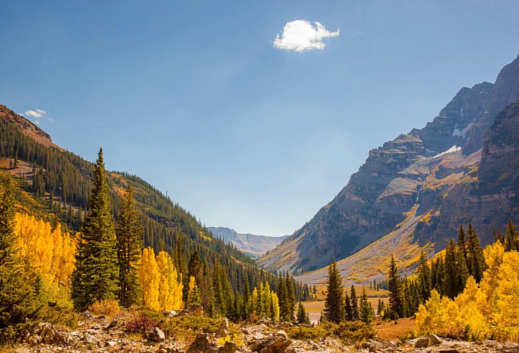 Maroon Gorge TrailHiking · ~1 min drivePhoto: Peter Alfred Hess, CC BY 2.0 (via Flickr)
- SugarbowlHiking · ~4 min drive
- Lower Maroon CreekHiking · ~4 min drive
- Moore TrailHiking · ~1 min drivePhoto: Cloudforest, CC BY 2.0 (via Flickr)
- Government TrailHiking · ~3 min drive
 Maroon Creek TrailHiking · ~1 min drivePhoto: Christopher Michel, CC BY 2.0 (via Wikimedia Commons)
- Water Plant TrailHiking · ~2 min drivePhoto: Frans-Banja Mulder, CC BY 3.0 (via Wikimedia Commons)
Best time to visit Thunderbowl Trail
Best months: May–September. Best months have typical highs of 55–85 °F, lows of 30 °F or warmer (32 °F where the station doesn't record snow), at most one snowy day and no more than 12 wet days.
Jan
32° / 10°
13 wet
Feb
35° / 13°
12 wet
Mar
43° / 20°
12 wet
Apr
50° / 27°
12 wet
May
60° / 35°
11 wet
Jun
71° / 42°
8 wet
Jul
76° / 48°
11 wet
Aug
73° / 47°
12 wet
Sep
67° / 40°
10 wet
Oct
55° / 30°
9 wet
Nov
42° / 19°
10 wet
Dec
32° / 10°
12 wet
Typical high / low (°F) and days with rain or snow, 1991–2020. Measured at Aspen 1sw, CO, 1 mi away at 8,175 ft. This station doesn't record snowfall. Source: NOAA NCEI U.S. Climate Normals 1991–2020.

Map and trail data © OpenStreetMap contributors
