Cherry Trail
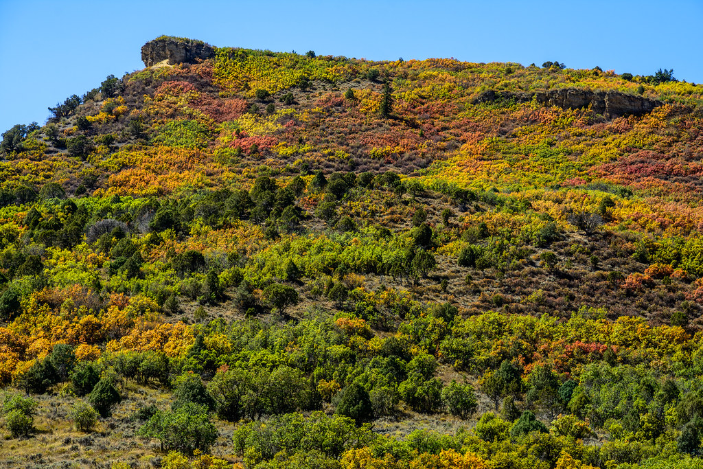
 Photo: Baker Pics and Whatnot, CC BY-SA 2.0 (via Flickr)
- 0.5 mi
- round trip
- 421 ft
- climb
- 10,874 ft
- high point
- Out and back
- route
- Jun–Aug
- best months
Is Cherry Trail open right now?
Alert in the area
The Forest Service lists 6 alerts for White River National Forest.
FSR 286, Radical Hill, is closed due to washouts and unsafe conditions
Agency alert covering White River National Forest · USFS · White River National Forest
Limited parking at Snowmass Creek Trailhead
Agency alert covering White River National Forest · USFS · White River National Forest
Grizzly Creek Trail Closure
Agency alert covering White River National Forest · Order 2026-02 · USFS · White River National Forest
Ruedi Marina Day Use area Dump Station is CLOSED
Agency alert covering White River National Forest · USFS · White River National Forest
Asbestos safety closure - Camp Hale
Agency alert covering White River National Forest · USFS · White River National Forest
As of · Source: USFS · White River National Forest. Agencies don't list every closure — check before you go.
Cherry Trail is a short, easy hike in the Aspen Ranger District of Colorado's White River National Forest, about half a mile from the trailhead. The route is an out-and-back that starts and ends near the same elevation, with a high point of about 10,874 feet and a low of about 10,692 feet. The climb is rolling, and the steepest part comes early, about 0.18 miles in, with a grade of around 12 percent. The total round-trip gain is about 421 feet. Summer is the most comfortable time to go. Typical averages from a nearby weather station run around 73°F for July highs and 39°F for lows, though that station sits roughly 1,100 feet lower than the trail, so temperatures on the trail run cooler. September is a bit milder, with highs near 62°F and fewer wet days. The trip takes about half an hour. The closest neighbor is the Congo Trail, about 1.3 miles away. Benedict Trail, a cross-country ski route, is about 1.8 miles off. Difficult Group Campground and Maroon Creek, a canoeing spot, are both within about 3 miles.
Go with a guide
- Mineral Belt Trail Guided WalkNexPM AI · $25 per person · 29 mi away
- Maroon Bells Guide and Outfitters3 mi away
 Congo TrailHikingPhoto: randomduck, CC BY-SA 2.0 (via Flickr)1.3 mi
 Benedict TrailCross-country skiingPhoto: jofwooster, CC BY-SA 3.0 (via Wikimedia Commons)1.8 mi
- Difficult Group CampgroundCamping2.9 mi
- Maroon CreekCanoeing3 mi
- Castle CreekCanoeing3.1 mi
- Silver Bar CampgroundCamping3.8 mi
 East FaceRock climbingPhoto: David Leo Veksler, CC BY-SA 2.0 (via Flickr)4.2 mi
- West Side - Lower ButtressRock climbingPhoto: David Leo Veksler, CC BY-SA 2.0 (via Flickr)4.2 mi
Source: Roamze catalog (indexable pages within 10 miles, PostGIS distance)
- Ute TrailHiking · Next doorPhoto: Baker Pics and Whatnot, CC BY-SA 2.0 (via Flickr)
 Little Nell TrailHiking · ~3 min drivePhoto: dconvertini, CC BY-SA 2.0 (via Flickr)
 Ajax TrailHiking · ~4 min drivePhoto: Frans-Banja Mulder, CC BY 3.0 (via Wikimedia Commons)
- Congo TrailHiking · ~2 min drivePhoto: randomduck, CC BY-SA 2.0 (via Flickr)
- Water Plant TrailHiking · ~3 min drivePhoto: Frans-Banja Mulder, CC BY 3.0 (via Wikimedia Commons)
- Lower Maroon CreekHiking · ~5 min drive
- SMUGGLERS CUTOFFHiking · ~5 min drive
- No Problem Joe TrailHiking · ~4 min drivePhoto: dconvertini, CC BY-SA 2.0 (via Flickr)
- Difficult CreekHiking · ~5 min drive
 Thunderbowl TrailHiking · ~4 min drivePhoto: Cloudforest, CC BY 2.0 (via Flickr)
Best time to visit Cherry Trail
Best months: June–August. Best months have typical highs of 55–85 °F, lows of 30 °F or warmer (32 °F where the station doesn't record snow), at most one snowy day and no more than 12 wet days.
Jan
31° / 3°
8 wet
Feb
33° / 3°
8 wet
Mar
39° / 9°
8 wet
Apr
44° / 18°
8 wet
May
55° / 27°
9 wet
Jun
68° / 34°
9 wet
Jul
73° / 39°
12 wet
Aug
70° / 38°
12 wet
Sep
62° / 31°
8 wet
Oct
51° / 23°
6 wet
Nov
39° / 14°
7 wet
Dec
31° / 6°
7 wet
Typical high / low (°F) and days with rain or snow, 1991–2020. Measured at Sugarloaf Rsvr, CO, 25.2 mi away at 9,738 ft. The station sits about 1,100 ft lower than this place, so expect it a little cooler here. This station doesn't record snowfall. Source: NOAA NCEI U.S. Climate Normals 1991–2020.

Map and trail data © OpenStreetMap contributors
