

Silver City RV Park
Hiking business nearby (~28 mi away) — hasn't claimed their Roamze page yet
New Mexico
Free — you'll pick up right here.
5.2 mi
Distance
1,962 ft
Gain
We won't guess. Here is exactly what we do and don't know.
What we do know
Inside Gila National Forest
2 managing-area boundaries mapped — agency alerts for them feed this page automatically.
Boundary data
What's missing
No access route mapped
We don't yet know which road reaches this trailhead, so we can't tell you if it's gated.
Nobody's filed a report here yet — be the first.
Why you'll love it
Gallinas Canyon
Suggested plan · check conditions before you go
Source for bikes, horses: USGS National Digital Trails
Gallinas Canyon offers a scenic out-and-back hike through a picturesque canyon setting in northern New Mexico. This moderate trail winds through the canyon, showcasing the region's natural geology and riparian vegetation along the Gallinas Creek drainage. The route provides a rewarding day hike with opportunities to enjoy the canyon's cool microclimate and seasonal water features.
Source: Roamze elevation profile and trail geometry (DEM samples along the mapped route)
Active alerts for Gila National Forest as of Oct 9, 2026:
Gila National Forest Occupancy and Use Prohibitions
information · posted Aug 24, 2026
Vandalism on forest defers maintenance, decreases public safety
information · posted Aug 24, 2026
Potentially Dangerous Animal Encounters
caution · posted Aug 24, 2026
Harmful algae detected in Lake Roberts
caution · posted Aug 24, 2026
Source: USFS forest alerts
Source: Roamze catalog (indexable pages within 10 miles, PostGIS distance)
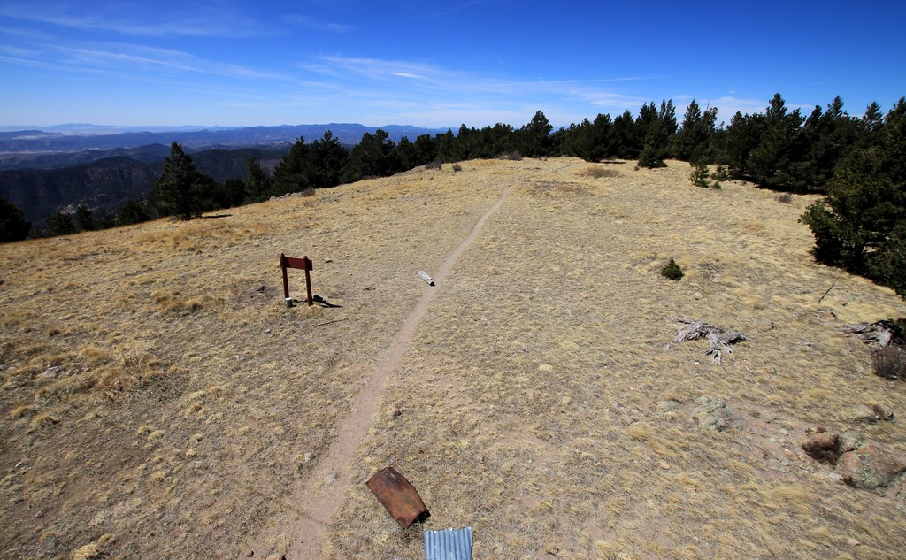 Photo: uıɐɾ ʞ ʇɐɯɐs, CC BY-SA 2.0 (via Flickr)
Cdt Jov
~5 min drive
0.28-mile out-and-back trail in New Mexico with 466 ft elevation loss.
 Photo: uıɐɾ ʞ ʇɐɯɐs, CC BY-SA 2.0 (via Flickr)
Ladrone Gulch Trail #127
~5 min drive
2.71-mile out-and-back trail in New Mexico with 535 ft elevation gain.
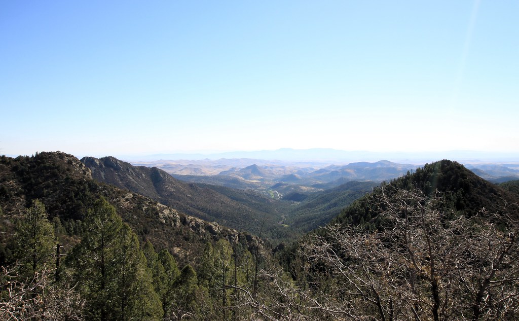 Photo: uıɐɾ ʞ ʇɐɯɐs, CC BY-SA 2.0 (via Flickr)
Scenic Trail
~6 min drive
8.32-mile out-and-back trail in New Mexico with 3,231 ft gain/loss.
Lower Gallinas
~6 min drive
1.06-mile out-and-back trail in New Mexico with 272 ft of elevation gain.
Holden Prong Trail #114
~4 min drive
9.42-mile out-and-back trail in New Mexico with 419 ft gain.
Photo: uıɐɾ ʞ ʇɐɯɐs, CC BY-SA 2.0 (via Flickr)Hillsboro Peak Bypass Trail #412
~5 min drive
1.07-mile out-and-back trail in New Mexico with 917 ft gain.
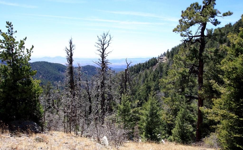 Photo: uıɐɾ ʞ ʇɐɯɐs, CC BY-SA 2.0 (via Flickr)
Old Mineral Creek
~5 min drive
2.56-mile out-and-back trail along Old Mineral Creek in New Mexico.
 Photo: Patrick Alexander from Las Cruces, NM, CC0 (via Wikimedia Commons)
Black Range Crest Trail #79
~13 min drive
6.47-mile out-and-back hike in New Mexico with 2,759 ft of elevation gain.
Black Range Crest Trail #79
~10 min drive
12.33-mile out-and-back hike in New Mexico's Black Range with 3,103 ft of elevation gain.
Photo: uıɐɾ ʞ ʇɐɯɐs, CC BY-SA 2.0 (via Flickr)Cdt Jov
~6 min drive
0.26-mile out-and-back trail in New Mexico with 158 ft of elevation gain.
Also worth it near here
Local operatorsoffering guided trips. You book directly with them — Roamze doesn’t take a cut.
Silver City RV Park
Hiking business nearby (~28 mi away) — hasn't claimed their Roamze page yet
Burro Mountain Homestead RV Park
Hiking business nearby (~42 mi away) — hasn't claimed their Roamze page yet
