Lower Buck
At a glance
Lower Buck is a 3.2-mile out-and-back hike in the Emigrant Wilderness, part of the Summit Ranger District of Stanislaus National Forest in California. It rises from about 8,315 feet to about 8,360 feet, a climb of 36 feet, and is rated moderate. The Forest Service manages the land. The route is natural-surfaced and allows horses but not bikes. It works well as a short outing in the backcountry, with several other trails and paddling waters within a few miles. Summer is the most comfortable time to go. At Tuolumne Meadows, a nearby weather station, typical July and August highs average around 71°F with lows in the upper 30s, while winter highs stay in the low 40s. The Crabtree (Buck Mdw to Emigrt) and Wood hikes both lie about a mile away, and Letora Lake is about 1.3 miles off. Paddlers can reach East Fork Cherry Creek at about 2.8 miles.
- round trip
- 3.2 mi
- climb
- 36 ft
- high point
- 8,360 ft
- route
- Out and back
- best months
- Jun–Sep
Where it is: Emigrant Wilderness · Summit Ranger District
Near: Strawberry
Best time to visit Lower Buck
Best months: June–September. Best months have typical highs of 55–85 °F, lows of 30 °F or warmer (32 °F where the station doesn't record snow), at most one snowy day and no more than 12 wet days.
Jan
41°
13°
Feb
38°
12°
Mar
42°
15°
Apr
45°
22°
May
54°
27°
Jun
65°
33°
Jul
71°
38°
Aug
70°
36°
Sep
65°
32°
Oct
57°
26°
Nov
47°
20°
Dec
40°
12°
Typical high / low (°F) and days with rain or snow, 1991–2020. Measured at Tuolumne Meadows Rs, CA, 28.9 mi away at 8,694 ft. This station doesn't record snowfall. Source: NOAA NCEI U.S. Climate Normals 1991–2020.
Been here? Tell people how it was.
 Long Lake TrailHikingPhoto: Tom Hilton, CC BY 2.0 (via Flickr)~4 min drive
 Lake Valley TrailHikingPhoto: travisreitter, CC BY-SA 2.0 (via Flickr)~12 min drive
 Relief ValleyHikingPhoto: farktronix, CC BY 2.0 (via Flickr)~12 min drive
- Crabtree TrailHiking~7 min drive
- Wire LakesHikingPhoto: Tom Hilton, CC BY 2.0 (via Flickr)~4 min drive
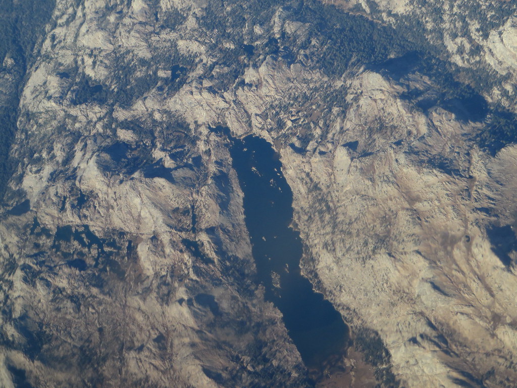 Kendrick Creek TrailHikingPhoto: Ken Lund, CC BY-SA 2.0 (via Flickr)~12 min drive
 High Emigrant LakeHikingPhoto: Jane S. Richardson (talk · contribs), CC BY 3.0 (via Wikimedia Commons)~12 min drive
- Bell MeadowHiking~13 min drive
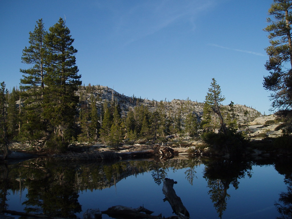 Boundary Lake SpurHikingPhoto: Tom Hilton, CC BY 2.0 (via Flickr)~8 min drive
 Lake ValleyHikingPhoto: TyB, CC BY 2.0 (via Flickr)~15 min drive
Also worth it near here
Conditions and forecast
Caution at last checkAgency alerts are in effect for this areaUSFS · checked 18 h agoDaily highs and lows, wind and the chance of precipitation at Start for the next 7 days, from the Open-Meteo model.


Ask about this place
Questions about Lower Buck: conditions, access, timing. Answers say when something isn't known.
