Maroon Bells Guide and Outfitters
Hiking business nearby (~16 mi away) — hasn't claimed their Roamze page yet

Colorado
Free — you'll pick up right here.
3.5 mi
Distance
1,393 ft
Gain
We won't guess. Here is exactly what we do and don't know.
What we do know
Inside White River National Forest
2 managing-area boundaries mapped — agency alerts for them feed this page automatically.
Boundary data
What's missing
No access route mapped
We don't yet know which road reaches this trailhead, so we can't tell you if it's gated.
Nobody's filed a report here yet — be the first.
Why you'll love it
North Lost
Suggested plan · check conditions before you go
North Lost is a 3.48-mile out-and-back trail in Colorado's White River National Forest with 1,393 feet of elevation gain. The route reaches a maximum elevation of 10,466 feet.
 Photo: The Greater Southwestern Exploration Company from Long Beach, California, United States, CC BY 2.0 (via Wikimedia Commons)
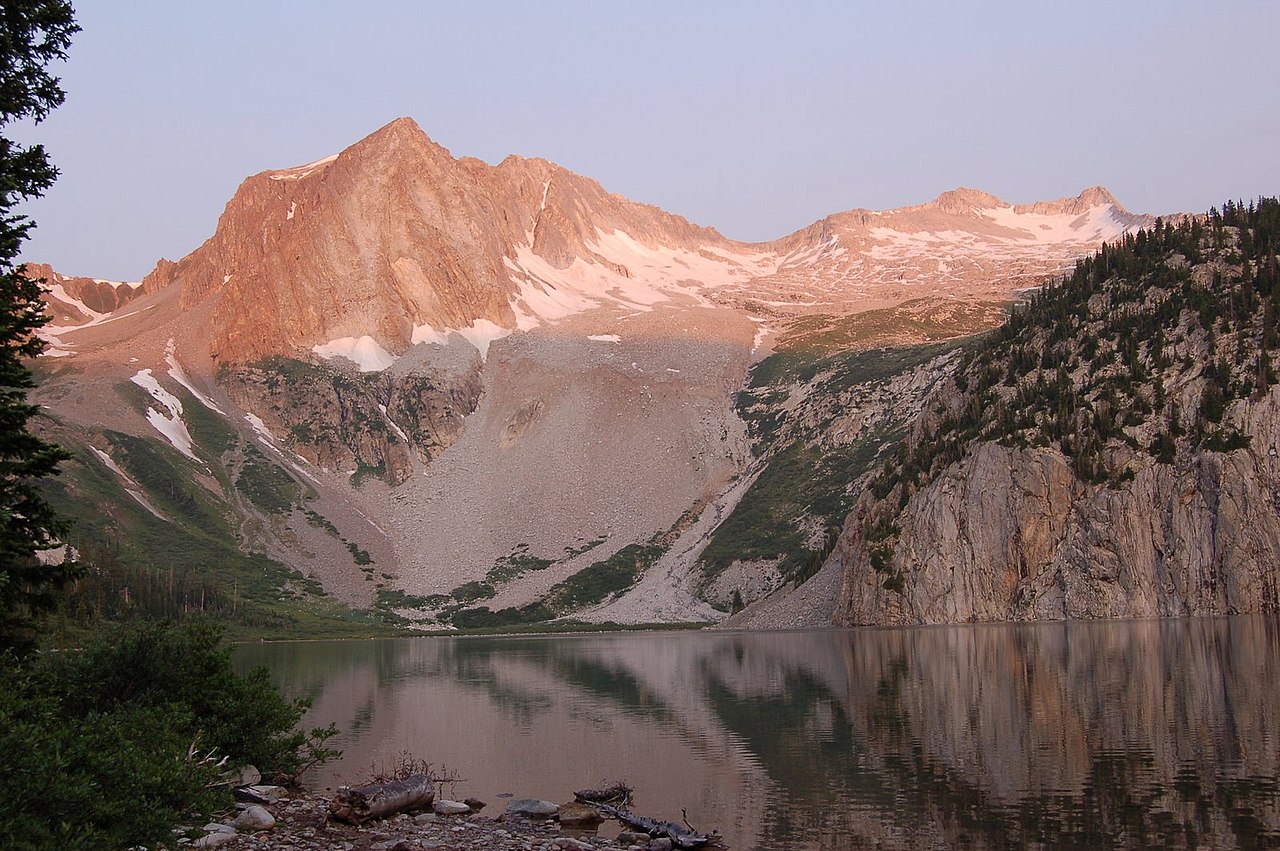
Hagerman Peak
~5 min drive
Route to the summit of Hagerman Peak (13,816 ft) from Geneva Lake Trailhead (Lead King Basin).
 Photo: lamblukas, CC BY 2.0 (via Flickr)
Capitol Creek
~10 min drive
17.85-mile out-and-back trail in Colorado with 2,260 ft elevation gain.
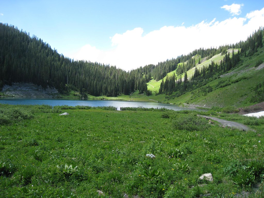 Photo: GSEC, CC BY 2.0 (via Flickr)
Schofield Trail
~13 min drive
2.94-mile out-and-back trail in Colorado with 1,024 ft gain and 11,355 ft max elevation.
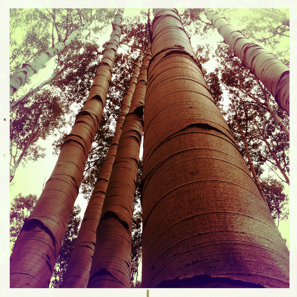 Photo: denverkid, CC BY 2.0 (via Flickr)
Mcclure Pass X-C Ski
~14 min drive
1.92-mile out-and-back ski trail at McClure Pass in Colorado with 157 ft elevation gain.
 Photo: lamblukas, CC BY 2.0 (via Flickr)
Capitol Peak Route
~12 min drive
1.32-mile out-and-back trail in Colorado's White River National Forest with 956 ft gain.
Photo: The Greater Southwestern Exploration Company from Long Beach, California, United States, CC BY 2.0 (via Wikimedia Commons)Treasury Mountain
~9 min drive
Route to the summit of Treasury Mountain (13,386 ft) from Schofield Park Parking.
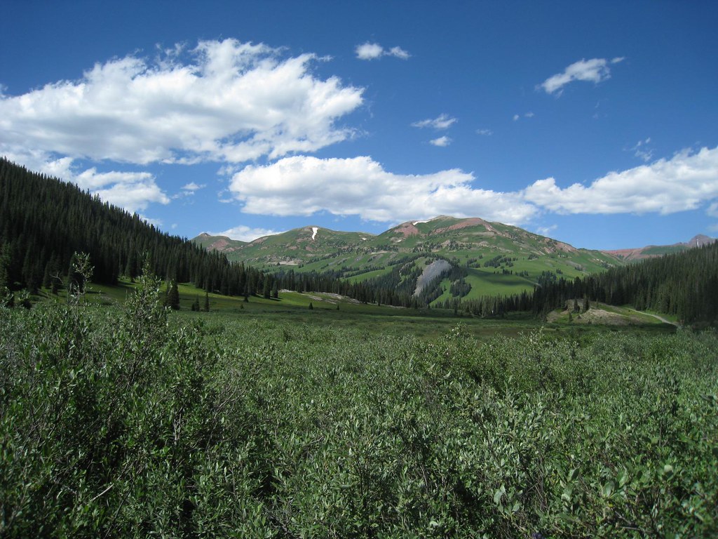 Photo: GSEC, CC BY 2.0 (via Flickr)
Trail Riders
~12 min drive
14.78-mile out-and-back trail in Colorado's White River National Forest with 845 ft gain.
 Photo: GSEC, CC BY 2.0 (via Flickr)
Yule Pass
~13 min drive
Yule Pass is a 4.68-mile out-and-back trail in Colorado with 442 ft of elevation gain.
Snowmass Lake Connector
~12 min drive
0.72-mile out-and-back trail to Snowmass Lake in Colorado with 216 ft of elevation gain.
 Photo: KimonBerlin, CC BY-SA 2.0 (via Wikimedia Commons)
Trail near Maroon Peak
~16 min drive
0.40-mile out-and-back trail near Maroon Peak in Colorado with 269 ft elevation gain.
Local operatorsoffering guided trips. You book directly with them — Roamze doesn’t take a cut.
Maroon Bells Guide and Outfitters
Hiking business nearby (~16 mi away) — hasn't claimed their Roamze page yet
Glenwood Canyon Resort
Hiking business nearby (~34 mi away) — hasn't claimed their Roamze page yet
Hanging Lake Adventure Co-op
Hiking business nearby (~34 mi away) — hasn't claimed their Roamze page yet
