Big Meadows
At a glance
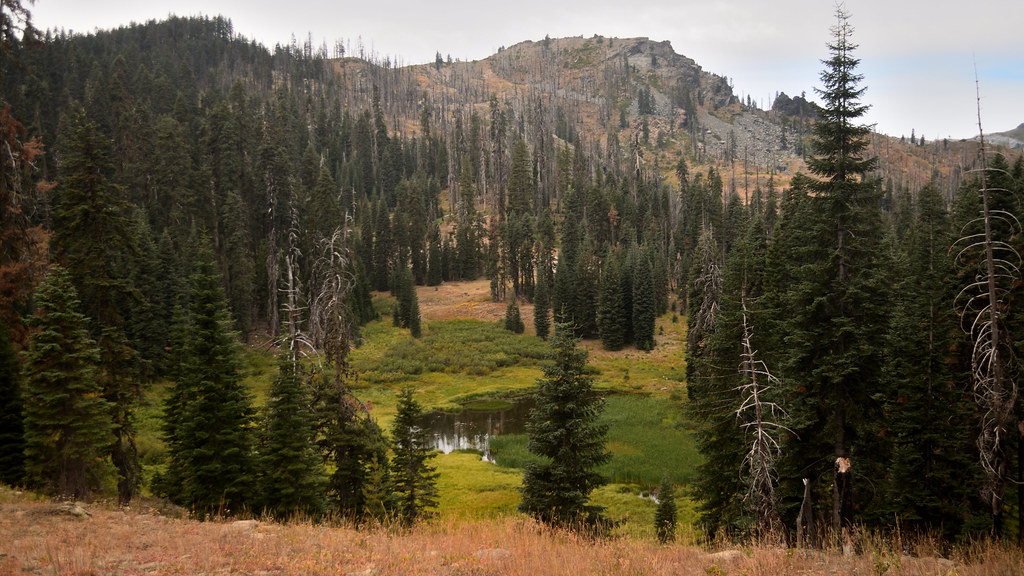
Big Meadows is a hard hike in California's Marble Mountain Wilderness, part of the Salmon River Ranger District of Klamath National Forest. The route is an out-and-back that climbs from about 2,289 feet to 5,880 feet, a total gain of 3,657 feet over 9.6 miles. The trail is natural-surfaced, and the Forest Service manages the land. The hike starts at the low point and rises steadily to the high point, so plan for a long day with a significant climb. The wilderness setting adds to the challenge, and the route is best suited for experienced hikers. Nearby, Wild Lake and Hell Hole Ridge offer more hiking within about 3.5 miles. Paddlers can head to North Fork Wooley Creek, about 2 miles away, and climbers will find Marble Mountain roughly 6 miles off.
- round trip
- 9.6 mi
- climb
- 3,657 ft
- high point
- 5,880 ft
- route
- Out and back
Where it is: Marble Mountain Wilderness · Salmon River Ranger District
Near: Etna
Been here? Tell people how it was.
 HaypressHikingPhoto: Calaina, CC BY-SA 3.0 (via Wikimedia Commons)~9 min drive
- Marble RimHikingPhoto: Calaina, CC BY-SA 3.0 (via Wikimedia Commons)~9 min drive
 Shadow Lake TrailHikingPhoto: Tom Hilton, CC BY 2.0 (via Flickr)~9 min drive
- Wooley Creek TrailHiking~11 min drive
- EthelHiking~8 min drive
- Marble Gap TrailHikingPhoto: Calaina, CC BY-SA 3.0 (via Wikimedia Commons)~10 min drive
- Shadow LakeHikingPhoto: Tom Hilton, CC BY 2.0 (via Flickr)~9 min drive
- Wooley CreekHiking~8 min drive
- Upper AbbottsHiking~9 min drive
- Cold SpringHikingPhoto: Tom Hilton, CC BY 2.0 (via Flickr)~10 min drive
Conditions and forecast
Caution todayAgency alerts are in effect for this areaUSFS · checked 3 min agoDaily highs and lows, wind and the chance of precipitation at Start for the next 7 days, from the Open-Meteo model.
Ask about this place
Questions about Big Meadows: conditions, access, timing. Answers say when something isn't known.
