Butterfield Hiking Trail
 Photo: adam*b, CC BY 2.0 (via Flickr)
At a glance
Butterfield Hiking Trail is a short, easy out-and-back hike in the Boston Mountain Ranger District of the Ozark-St. Francis National Forest in Arkansas, managed by the Forest Service. The trail is about 1.3 miles long, with a total elevation gain of 268 feet, and it starts at roughly 1,510 feet, rising to a high point of about 1,724 feet before returning to the start. Spring and fall are the most comfortable times to go. Typical averages from a nearby weather station show May highs around 73°F and October highs around 68°F, while July and August average in the mid-80s. The trail is rated easy and takes about half an hour to complete. Bikes are allowed, and the surface is natural. It is open year-round. Devil's Den Trail is about 0.6 miles away, and the Sparky to Orville mountain biking route is about 0.8 miles off. Lee Creek, a canoeing spot, is about 3.8 miles away, and the Bradford East Outer Loop is about 4.7 miles away.
- round trip
- 1.3 mi
- climb
- 268 ft
- high point
- 1,724 ft
- route
- Out and back
- time
- About 30 minutes
- best months
- Mar–Jul, Sep–Nov
Where it is: Boston Mountain Ranger District · Ozark-St. Francis National Forest
Near: Fayetteville
Best time to visit Butterfield Hiking Trail
Best months: March–July and September–November. Best months have typical highs of 55–85 °F, lows of 30 °F or warmer (32 °F where the station doesn't record snow), at most one snowy day and no more than 12 wet days.
Jan
44°
28°
Feb
49°
30°
Mar
57°
37°
Apr
66°
48°
May
73°
56°
Jun
82°
65°
Jul
85°
69°
Aug
87°
69°
Sep
78°
61°
Oct
68°
51°
Nov
55°
40°
Dec
46°
30°
Typical high / low (°F) and days with rain or snow, 1991–2020. Measured at Winslow 7ne, AR, 13.3 mi away at 2,189 ft. This station doesn't record snowfall. Source: NOAA NCEI U.S. Climate Normals 1991–2020.
Been here? Tell people how it was.
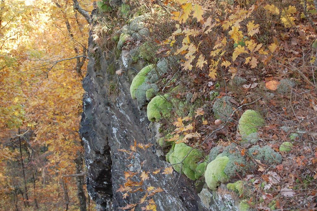
- Devil's Den TrailHikingPhoto: adam*b, CC BY 2.0 (via Flickr)~1 min drive
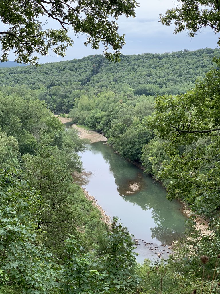
 Ozark Highlands TrailHikingPhoto: adam*b, CC BY 2.0 (via Flickr)~30 min drive
- BRADFORD EAST OUTER LOOPHiking~8 min drive
- White Rock-Shores Lake WestHiking~31 min drive
- White Rock Mountain Rim TrailHikingPhoto: adam*b, CC BY 2.0 (via Flickr)~29 min drive
 Redding Loop East-Oht SpursHikingPhoto: SlapTheWorld, Public Domain Dedication (CC0) (via Flickr)~45 min drive
- MILL CREEK TRAIL BLUE LOOPHiking~39 min drive
- Western DonHiking~40 min drive
- White Rock Mtn Rim LoopHikingPhoto: adam*b, CC BY 2.0 (via Flickr)~29 min drive
Conditions and forecast
Caution todayAgency alerts are in effect for this areaUSFS · checked 1 min agoDaily highs and lows, wind and the chance of precipitation at Start for the next 7 days, from the Open-Meteo model.
Ask about this place
Questions about Butterfield Hiking Trail: conditions, access, timing. Answers say when something isn't known.
Local outfitters
- Kings River Outfitters49 mi away
Not on Roamze yet. Their page has how to reach them.
