Halfmoon Campground
Campground
0.1 mi from the trail
Mount of the Holy Cross is a moderate out-and-back hike in the Holy Cross Ranger District of White River National Forest in Colorado, managed by the Forest Service. The trail is about 10 miles long, with a one-way elevation gain of about 3,900 feet, starting at roughly 10,300 feet and reaching the summit at about 13,900 feet. The route is on natural surface, and the Forest Service trail records say it is not open to bikes or horses. Fall Creek and Halfmoon Campground both sit about 0.1 mile from the trail, making Halfmoon a convenient base for the climb. Notch Mountain is about a mile away, and Gilman Canyon offers climbing about 3 miles off.
Where it is: Holy Cross Ranger District · White River National Forest
Near: Minturn
Been here? Tell people how it was.
 Notch MountainHikingPhoto: kalestews, CC BY 2.0 (via Flickr)1.1 mi
 Kletter GardenHikingPhoto: KimonBerlin, CC BY-SA 2.0 (via Flickr)3.2 mi
 Eagle RiverCanoeingPhoto: Thad Roan from Littleton, CO, USA, CC BY-SA 2.0 (via Wikimedia Commons)3.9 miNotch MountainHikingPhoto: kalestews, CC BY 2.0 (via Flickr)~2 min drive
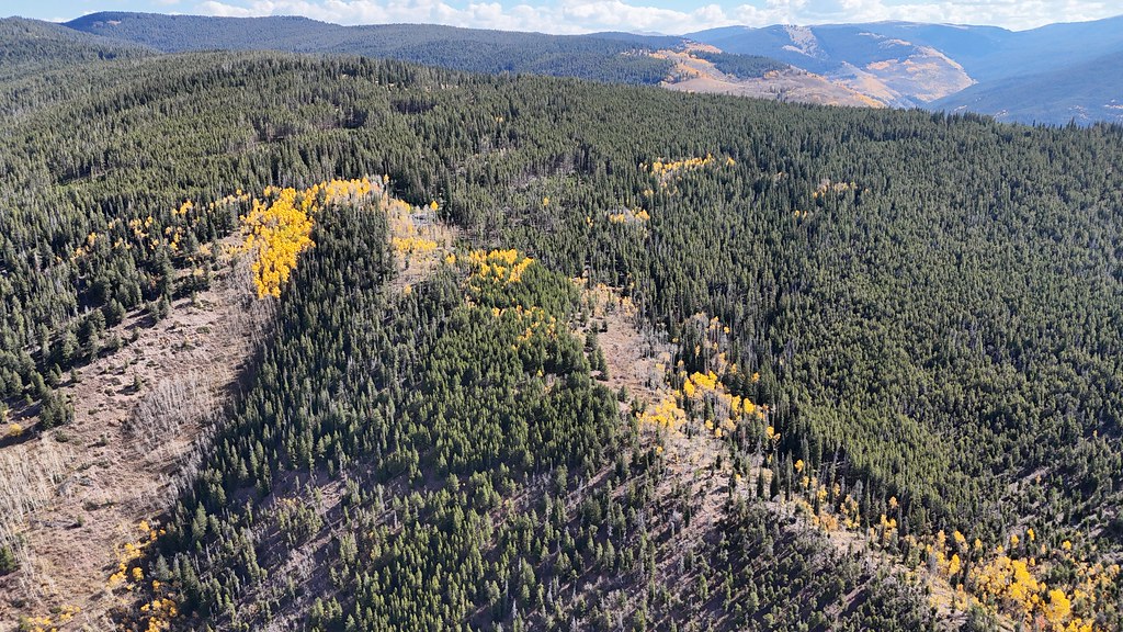 Trail near Iron MountainHikingPhoto: supercraigtalbert, CC BY 2.0 (via Flickr)~5 min drive
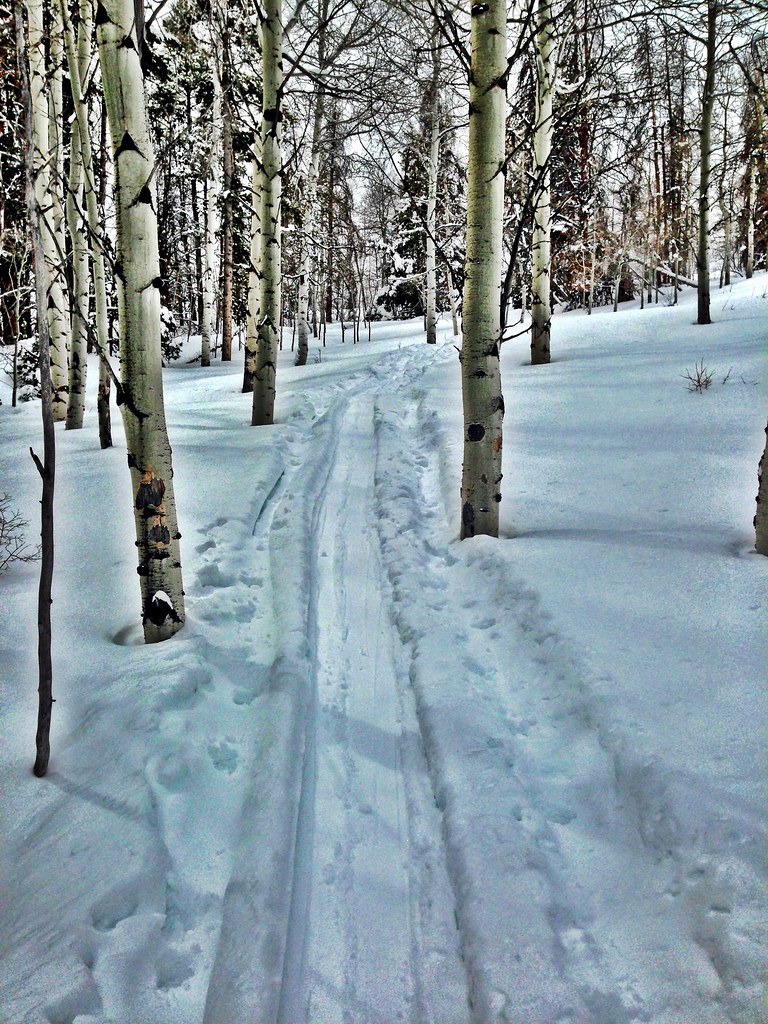 Hay MeadowHikingPhoto: jrm353, CC BY 2.0 (via Flickr)~11 min driveGrouse LakeHikingPhoto: jrm353, CC BY 2.0 (via Flickr)~9 min driveKletter GardenHikingPhoto: KimonBerlin, CC BY-SA 2.0 (via Flickr)~6 min drive
 Wearyman Spur 3HikingPhoto: Moo.The.Cow, CC BY 2.0 (via Flickr)~13 min driveCougar RidgeHikingPhoto: jrm353, CC BY 2.0 (via Flickr)~11 min drive
Daily highs and lows, wind and the chance of precipitation at the summit and route start for the next 7 days, from the Open-Meteo model.
Questions about Mount of the Holy Cross: conditions, access, timing. Answers say when something isn't known.
Halfmoon Campground
Campground
 If it rainsCraig Talbert, CC BY 3.0 · Wikimedia Commons
Places © OpenStreetMap contributors, Places © Overture Maps Foundation · Photos: Craig Talbert, CC BY 3.0 (commons)
More in LeadvillePark at Half Moon Trailhead.
About 10.1 mi round trip from Half Moon Trailhead (about 10,382 ft).
About 3,902 ft of climbing round trip.
It is rated expert.
Half Moon Trailhead (about 10,382 ft).
2: Halo Ridge Trail and Mount of the Holy Cross.
