Alessandro
At a glance
Alessandro is a hard hike of about 6 miles on natural trail in the San Jacinto Ranger District of San Bernardino National Forest, managed by the Forest Service. The route is out and back, with a climb of about 1,650 feet from a low point near 2,880 feet to a high of about 4,555 feet. Spring and fall are the most comfortable times to go. Typical averages from a nearby weather station in Idyllwild show October highs around 72°F and May highs around 71°F, while July and August average in the mid-80s. That station sits higher than the trail's summit, so temperatures on top run a bit cooler. Hixon-Bautista and Cahuilla Mountain are both within about 3 miles, and the King Trail is about 4.6 miles away. Climbers can head to Tips Crack Boulder, about 8 miles off.
- round trip
- 6.1 mi
- climb
- 1,652 ft
- high point
- 4,555 ft
- route
- Out and back
- best months
- Apr–Jul, Sep–Nov
Where it is: San Jacinto Ranger District · San Bernardino National Forest
Near: Hemet
Best time to visit Alessandro
Best months: April–July and September–November. Best months have typical highs of 55–85 °F, lows of 30 °F or warmer (32 °F where the station doesn't record snow), at most one snowy day and no more than 12 wet days.
Jan
55°
31°
7 wet · 2 snow
Feb
54°
30°
7 wet · 3 snow
Mar
59°
32°
6 wet · 2 snow
Apr
64°
35°
4 wet · 1 snow
May
71°
41°
2 wet
Jun
80°
48°
1 wet
Jul
85°
55°
2 wet
Aug
86°
55°
3 wet
Sep
81°
50°
2 wet
Oct
72°
42°
2 wet
Nov
62°
35°
4 wet · 1 snow
Dec
54°
30°
6 wet · 2 snow
Typical high / low (°F) and days with rain or snow, 1991–2020. Measured at Idyllwild Fire Dept, CA, 9.7 mi away at 5,380 ft. The station sits about 800 ft higher than this place, so expect it a little warmer here. Source: NOAA NCEI U.S. Climate Normals 1991–2020.
Been here? Tell people how it was.
- Hixon-BautistaHiking2.6 mi
- Cahuilla MountainHiking3 mi
- King TrailHiking4.6 mi
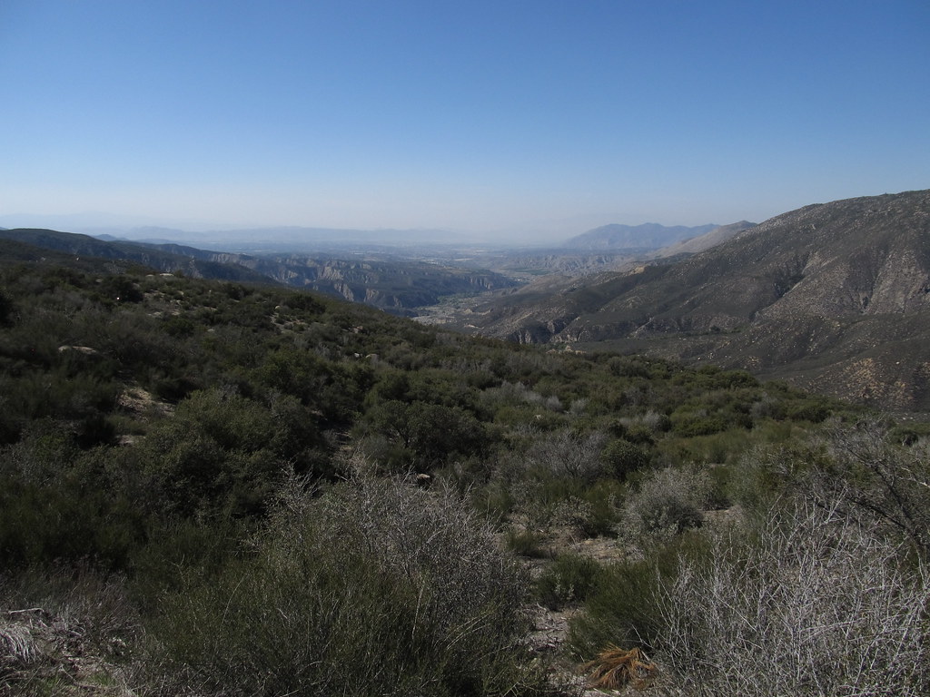 South ForkHikingPhoto: Ken Lund, CC BY-SA 2.0 (via Flickr)4.6 mi
 Tips Crack BoulderRock climbingPhoto: sergei.gussev, CC BY 2.0 (via Flickr)8.1 mi
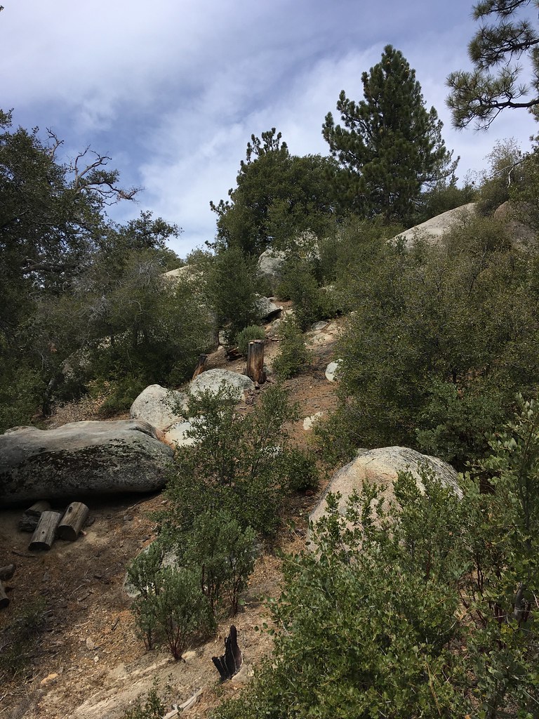 Road RockRock climbingPhoto: sergei.gussev, CC BY 2.0 (via Flickr)8.2 mi
- The AH BoulderRock climbingPhoto: sergei.gussev, CC BY 2.0 (via Flickr)8.2 mi
- San Jacinto - Santa Rosa Mountains Recreation AreaLake fishing8.9 mi
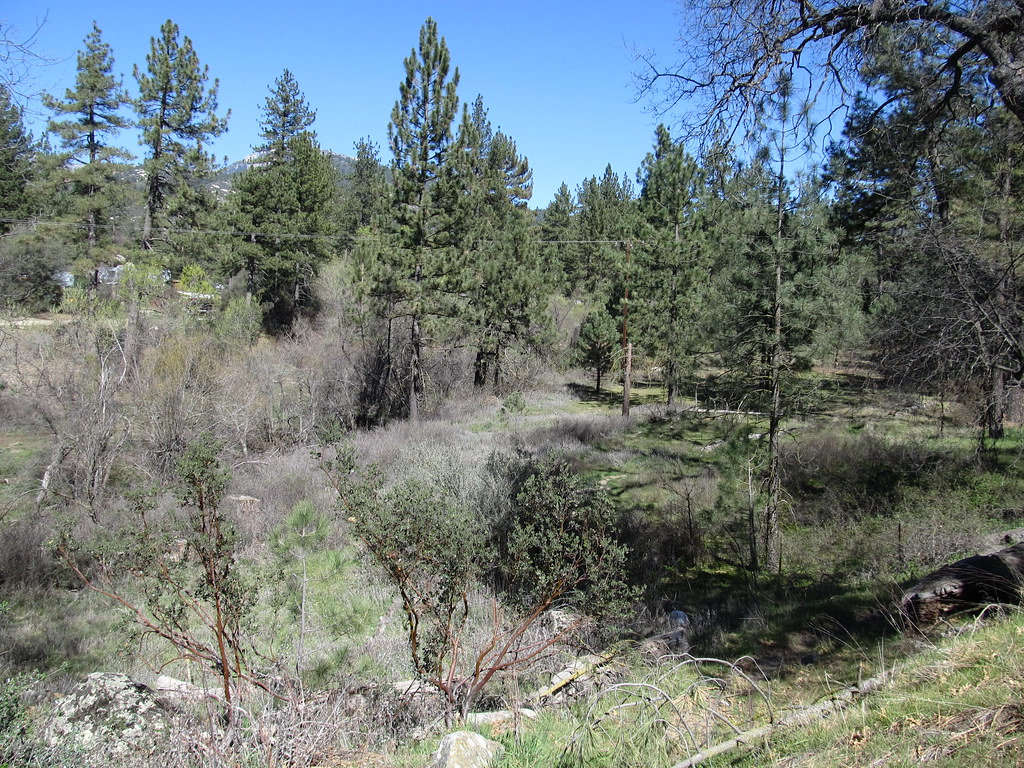 Blodgett Flat TrailHikingPhoto: Ken Lund, CC BY-SA 2.0 (via Flickr)~10 min drive
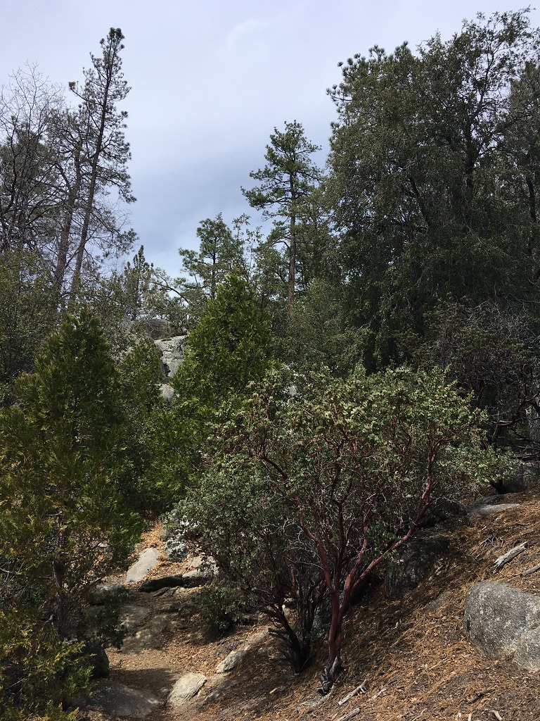 Summit TrailHikingPhoto: sergei.gussev, CC BY 2.0 (via Flickr)~14 min drive
 LOWER SOUTH RIDGEHikingPhoto: sergei.gussev, CC BY 2.0 (via Flickr)~15 min drive
- Blodgett Flat TrailHikingPhoto: Ken Lund, CC BY-SA 2.0 (via Flickr)~11 min drive
- Hillside TrailHikingPhoto: sergei.gussev, CC BY 2.0 (via Flickr)~14 min drive
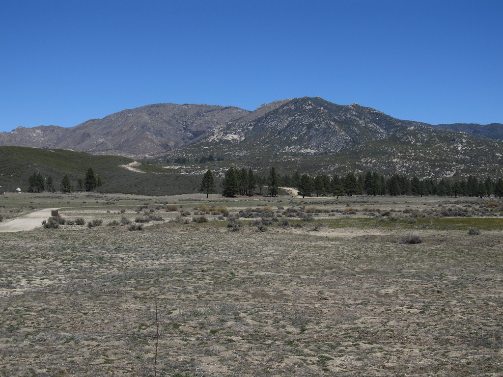 RamonaHikingPhoto: Ken Lund, CC BY-SA 2.0 (via Flickr)~16 min drive
- McCall Park TrailHikingPhoto: Ken Lund, CC BY-SA 2.0 (via Flickr)~12 min drive
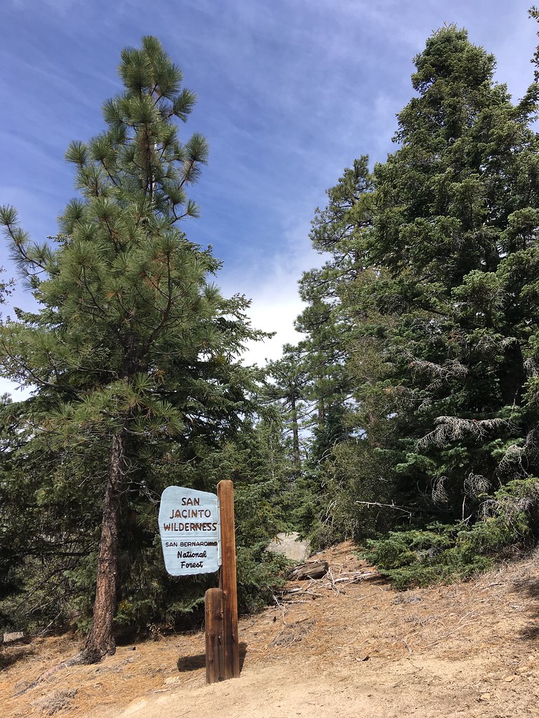 Ridgeline TrailHikingPhoto: sergei.gussev, CC BY 2.0 (via Flickr)~15 min drive
- South ForkHikingPhoto: Ken Lund, CC BY-SA 2.0 (via Flickr)~8 min drive
- Chalk Hill TrailHikingPhoto: Ken Lund, CC BY-SA 2.0 (via Flickr)~12 min drive
Conditions and forecast
Caution at last checkAgency alerts are in effect for this areaUSFS · checked 16 h agoDaily highs and lows, wind and the chance of precipitation at Start for the next 7 days, from the Open-Meteo model.
Ask about this place
Questions about Alessandro: conditions, access, timing. Answers say when something isn't known.
Local outfitters
- Borrego Outfitters36 mi away
Not on Roamze yet. Their page has how to reach them.
