Loading…

Free — you'll pick up right here.
Watch this trail
Sign up to watch it — saving subscribes you to gate, closure and report changes.
California
6.2 mi
Distance
1,829 ft
Gain
We won't guess. Here is exactly what we do and don't know.
What we do know
Inside San Bernardino National Forest
2 managing-area boundaries mapped — agency alerts for them feed this page automatically.
Boundary data
What's missing
No access route mapped
We don't yet know which road reaches this trailhead, so we can't tell you if it's gated.
Nobody's filed a report here yet — be the first.
Why you'll love it
Cahuilla Mountain
AI-suggested draft · review before you go
No permit or access details on file for this trail — check with the local land manager before you go.
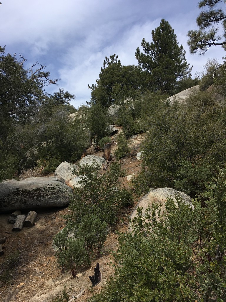
Cahuilla Mountain offers a moderately challenging ascent through the San Jacinto Mountains region with nearly 1,830 feet of elevation gain over 6.2 miles. This trail provides rewarding views of the surrounding mountain landscape and access to the Cahuilla Mountain summit area. The route combines steady climbing with mountain terrain typical of Southern California's higher elevation trails.
Alessandro
~5 min drive
Moderate 6.1-mile foothills trail with 2,127 ft elevation gain.
Webster
~18 min drive
Accessible 5-mile foothill hike with gentle elevation gain near Webster.
Deer Springs
~19 min drive
Easy 2-mile trail with 509 ft gain near Deer Springs, California.
Hixon-Bautista
~9 min drive
Moderate 6.8-mile trail with 1,273 ft gain through California foothills.
Fobes
~20 min drive
Short, scenic 3-mile hike with moderate elevation gain near Fobes.
Suicide Rock
~22 min drive
Easy 1.4-mile climb to a scenic rock outcrop with mountain views.
South Fork
~12 min drive
Moderate 8.92-mile foothill hike with 2,516 ft elevation gain.
Ernie Maxwell Scenic Trail
~22 min drive
Moderate 5-mile mountain trail with 1,300 ft gain and scenic desert vistas.
Little Tahquitz Valley
~24 min drive
Easy alpine valley hike with meadows and mountain views near Tahquitz Peak.
Ramona
~15 min drive
Moderate 7.4-mile climb with 2,087 ft gain through San Diego chaparral.