McCall Memorial Equestrian Park
Campground
Campground · 0.5 mi from the trail
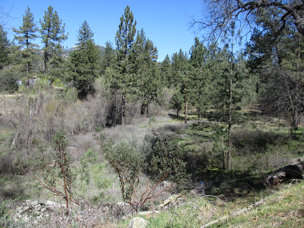 Photo: Ken Lund, CC BY-SA 2.0 (via Flickr)
Alert in the area
The Forest Service lists 2 alerts for San Bernardino National Forest.
Safety Alert - Falling Rocks at Bonita Falls
Agency alert covering San Bernardino National Forest · USFS · San Bernardino National Forest
Fire Restrictions
Agency alert covering San Bernardino National Forest · Order 05-12-00-26-05 · USFS · San Bernardino National Forest
As of · Source: USFS · San Bernardino National Forest. Agencies don't list every closure — check before you go.
Blodgett Flat Trail is an easy out-and-back hike in the San Jacinto Ranger District of San Bernardino National Forest in California, about 0.8 miles long with a total elevation gain of 548 feet. The trail starts at roughly 4,480 feet and reaches a high point of about 4,720 feet, with the steepest stretch at about 0.67 miles in, where the grade reaches 15%. Spring and fall are the most comfortable times to go. Typical averages from a nearby weather station in Idyllwild show May highs around 71°F and October highs around 72°F, while July and August average in the mid-80s. That station sits about 660 feet higher than the trail, so temperatures on the trail run a little warmer. The Fuel Break Trail starts just 0.1 mile away, and the McCall Park Trail is about 0.4 mile off. Climbers can head to Family & Friends Boulders, about 1.7 miles away, and anglers can reach the San Jacinto - Santa Rosa Mountains Recreation Area, about 2.3 miles away.
McCall Memorial Equestrian Park
Campground
Mountain Center Cafe
Restaurant
 If it rainsVisitor7, CC BY-SA 3.0 · Wikimedia Commons
Places © OpenStreetMap contributors · Photos: Visitor7, CC BY-SA 3.0 (commons)
More in Desert Hot SpringsNot on Roamze yet. Their page has how to reach them.
McCall Park TrailHikingPhoto: Ken Lund, CC BY-SA 2.0 (via Flickr)0.4 mi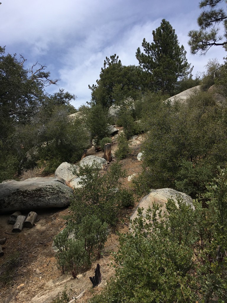 Family & Friends BouldersRock climbingPhoto: sergei.gussev, CC BY 2.0 (via Flickr)1.7 mi
 Tips Crack BoulderRock climbingPhoto: sergei.gussev, CC BY 2.0 (via Flickr)1.8 mi
Source: Roamze catalog (indexable pages within 10 miles, PostGIS distance)
McCall Park TrailHiking · Next doorPhoto: Ken Lund, CC BY-SA 2.0 (via Flickr)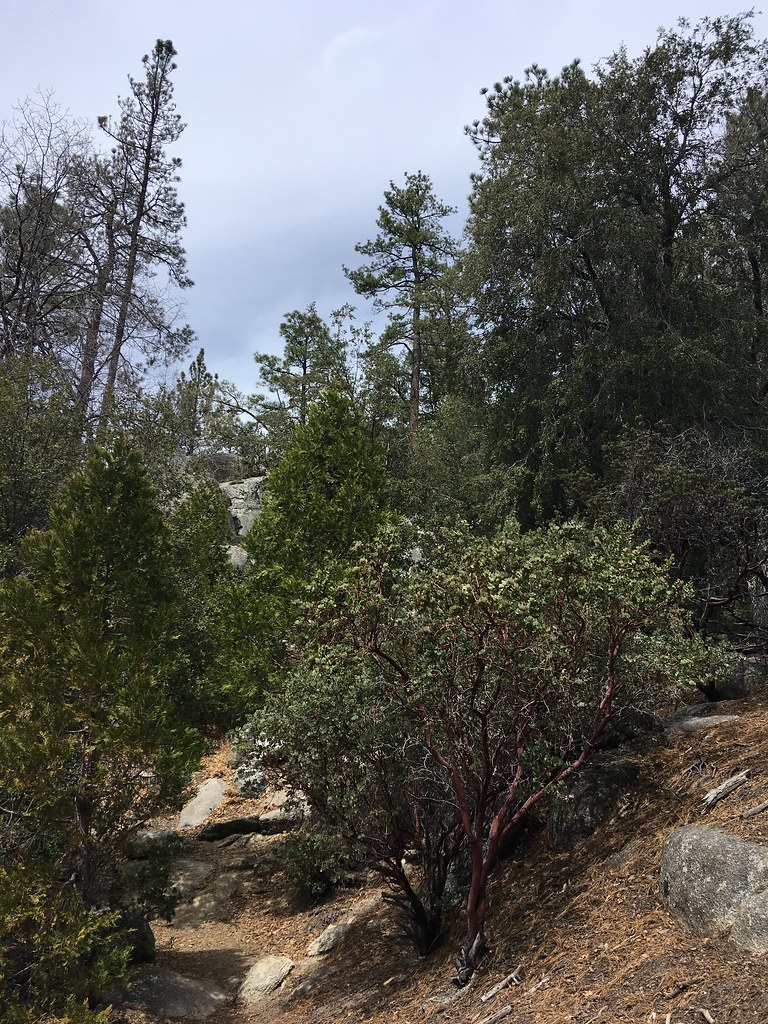 Summit TrailHiking · ~3 min drivePhoto: sergei.gussev, CC BY 2.0 (via Flickr)
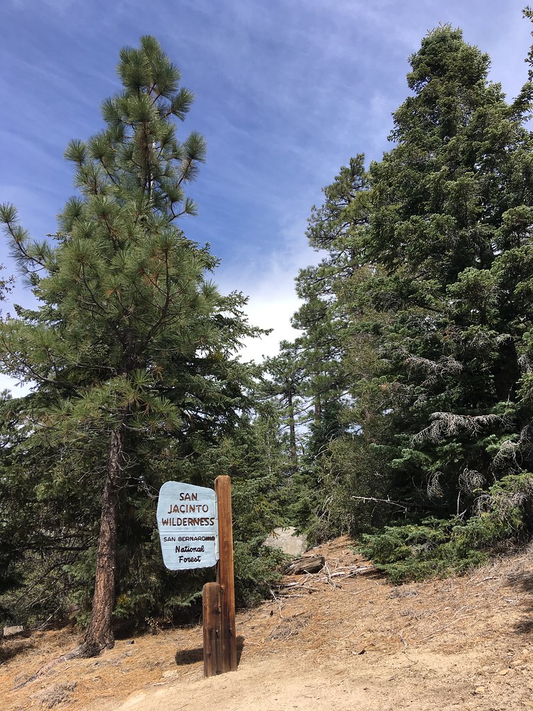 South RidgeHiking · ~4 min drivePhoto: sergei.gussev, CC BY 2.0 (via Flickr)Chalk Hill TrailHiking · Next doorPhoto: Ken Lund, CC BY-SA 2.0 (via Flickr)Hillside TrailHiking · ~3 min drivePhoto: sergei.gussev, CC BY 2.0 (via Flickr)
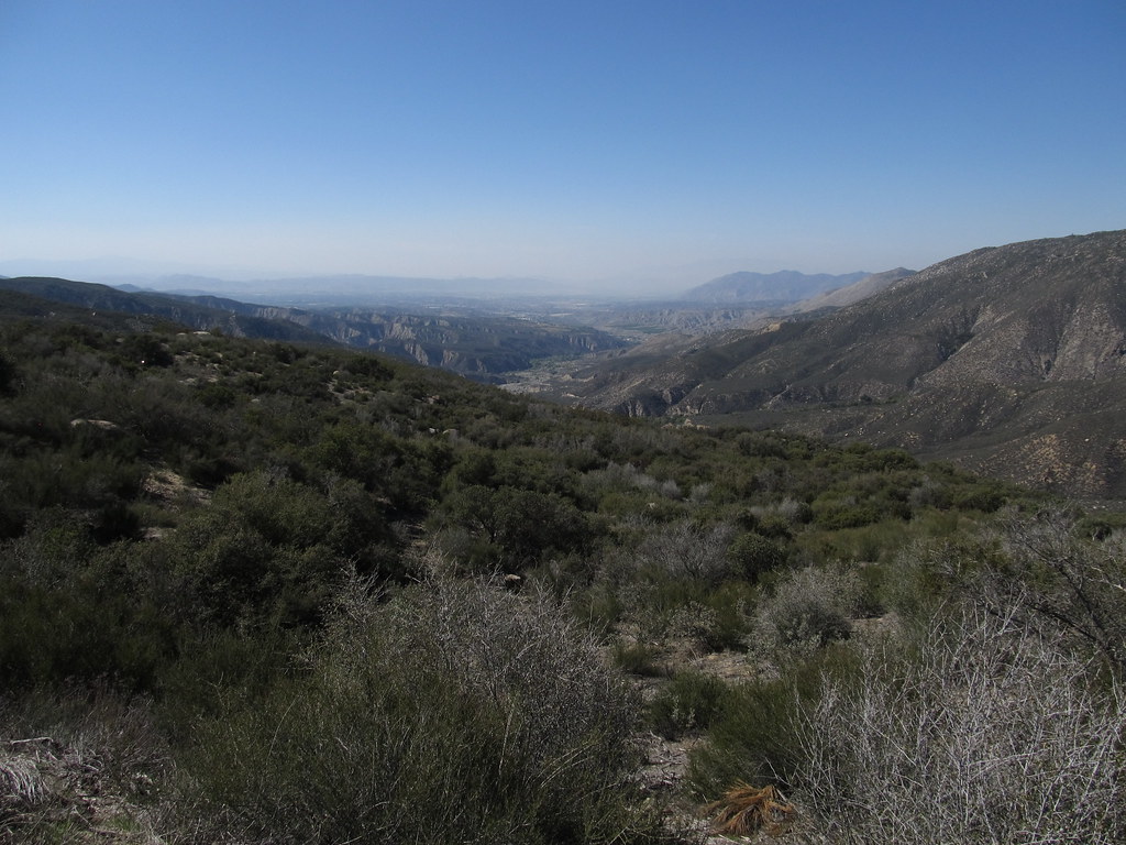 South ForkHiking · ~4 min drivePhoto: Ken Lund, CC BY-SA 2.0 (via Flickr)Blodgett Flat TrailHiking · ~1 min drivePhoto: Ken Lund, CC BY-SA 2.0 (via Flickr)Ridgeline TrailHiking · ~3 min drivePhoto: sergei.gussev, CC BY 2.0 (via Flickr)
 CarambaHiking · ~9 min drivePhoto: inkknife_2000 (7.5 million views +), CC BY-SA 2.0 (via Wikimedia Commons)
 Sunset TrailHiking · ~2 min drivePhoto: sergei.gussev, CC BY 2.0 (via Flickr)
Also worth it near here
Family & Friends BouldersRock climbing · ~3 min drivePhoto: sergei.gussev, CC BY 2.0 (via Flickr) Ernie Maxwell Scenic TrailMountain biking · ~5 min drivePhoto: Benjamin Crowell, CC BY-SA 4.0 (via Wikimedia Commons)
Best months: April–July and September–November. Best months have typical highs of 55–85 °F, lows of 30 °F or warmer (32 °F where the station doesn't record snow), at most one snowy day and no more than 12 wet days.
Jan
55° / 31°
7 wet · 2 snow
Feb
54° / 30°
7 wet · 3 snow
Mar
59° / 32°
6 wet · 2 snow
Apr
64° / 35°
4 wet · 1 snow
May
71° / 41°
2 wet
Jun
80° / 48°
1 wet
Jul
85° / 55°
2 wet
Aug
86° / 55°
3 wet
Sep
81° / 50°
2 wet
Oct
72° / 42°
2 wet
Nov
62° / 35°
4 wet · 1 snow
Dec
54° / 30°
6 wet · 2 snow
Typical high / low (°F) and days with rain or snow, 1991–2020. Measured at Idyllwild Fire Dept, CA, 3.1 mi away at 5,380 ft. The station sits about 700 ft higher than this place, so expect it a little warmer here. Source: NOAA NCEI U.S. Climate Normals 1991–2020.
Map and trail data © OpenStreetMap contributors
