Marysvale #02 West
At a glance
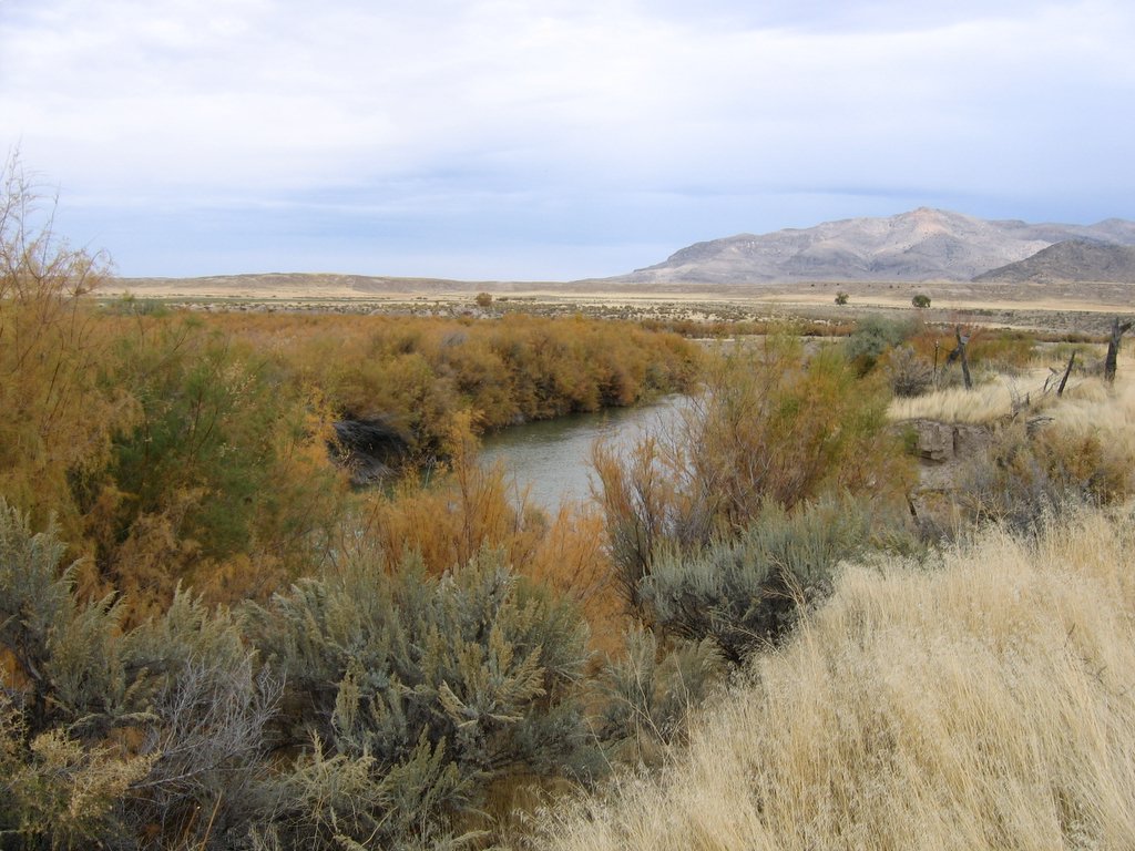
Marysvale #02 West is a hard, out-and-back hike of about 10.5 miles in Utah's Fishlake National Forest, within the Beaver Ranger District. The trail rises from a low point of about 6,565 feet to a high of about 8,845 feet, giving a one-way climb of about 2,264 feet. Bikes are allowed, and the surface is natural. Summer is the most comfortable time to go. Typical July averages from a nearby weather station run around 80°F for highs and 52°F for lows, while winter brings regular snow days from December through February. That station sits about 1,570 feet lower than the trail's high point, so temperatures on the route run cooler. The trail stays open all year. Several other outings lie close by, including Sargent Mtn. - Bear Hollow about half a mile away and Deer Creek at about 0.8 miles. The Sevier River offers canoeing about 4.5 miles off, and Castle Rock - Rec Site is about 7 miles away for camping.
- round trip
- 10.5 mi
- climb
- 2,264 ft
- high point
- 8,845 ft
- route
- Out and back
- time
- About 4 hours
- best months
- Jun–Oct
Where it is: Beaver Ranger District · Fishlake National Forest
Near: Richfield
Best time to visit Marysvale #02 West
Best months: June–October. Best months have typical highs of 55–85 °F, lows of 30 °F or warmer (32 °F where the station doesn't record snow), at most one snowy day and no more than 12 wet days.
Jan
37°
16°
7 wet · 7 snow
Feb
40°
17°
7 wet · 6 snow
Mar
47°
23°
7 wet · 6 snow
Apr
53°
28°
7 wet · 4 snow
May
63°
36°
6 wet · 2 snow
Jun
75°
45°
4 wet
Jul
80°
52°
7 wet
Aug
78°
51°
9 wet
Sep
71°
43°
6 wet
Oct
58°
33°
5 wet · 1 snow
Nov
45°
24°
5 wet · 3 snow
Dec
36°
16°
7 wet · 6 snow
Typical high / low (°F) and days with rain or snow, 1991–2020. Measured at Beaver Canyon Pwr House, UT, 15.4 mi away at 7,275 ft. The station sits about 1,600 ft lower than this place, so expect it a little cooler here. Source: NOAA NCEI U.S. Climate Normals 1991–2020.
Been here? Tell people how it was.
- Sargent Mtn. - Bear HollowHiking0.4 mi
- DEER CREEKHiking0.8 mi
- Silver King Walking TrailHiking1.6 mi
 Sevier RiverCanoeingPhoto: w:Flickr user rcstanley, CC BY 2.0 (via Wikimedia Commons)4.5 mi
- Beaver Ranger DistrictLake fishing5.4 mi
- Castle Rock - Rec SiteCamping7.2 mi
- Indian Creek Dispersed CampingCamping7.8 mi
- Clear CreekCanoeing7.9 mi
 The PocketHikingPhoto: Andrey Zharkikh, CC BY 2.0 (via Wikimedia Commons)~9 min drive
 Paiute Side Trail 01HikingPhoto: The Dye Clan, CC BY-SA 3.0 (via Wikimedia Commons)~14 min drive
 Mud Lake - Blue LakeHikingPhoto: Andrey Zharkikh, CC BY 2.0 (via Wikimedia Commons)~12 min drive
- Revenue GulchHiking~14 min drive
- South Fork of North CreekHikingPhoto: Andrey Zharkikh, CC BY 2.0 (via Wikimedia Commons)~10 min drive
- Skyline National Recreation TrHikingPhoto: Andrey Zharkikh, CC BY 2.0 (via Wikimedia Commons)~13 min drive
- Silver King Walking TrailHiking~3 min drive
- Poison Creek - So Fk BullionHikingPhoto: Andrey Zharkikh, CC BY 2.0 (via Wikimedia Commons)~12 min drive
- Centennial TrailHikingPhoto: The Dye Clan, CC BY-SA 3.0 (via Wikimedia Commons)~14 min drive
- Miners Park AccessHiking~7 min drive
Conditions and forecast
Caution todayAgency alerts are in effect for this areaUSFS · checked 21 min agoDaily highs and lows, wind and the chance of precipitation at Start for the next 7 days, from the Open-Meteo model.

Ask about this place
Questions about Marysvale #02 West: conditions, access, timing. Answers say when something isn't known.
Local outfitters
- Big Rock Candy Mountain6 mi away
- Cedar Mountain RV Resort36 mi away
Not on Roamze yet. Their page has how to reach them.
