Lake
At a glance
Lake is a 4.32-mile out-and-back trail in Vermont's Big Branch Wilderness, within the Manchester Ranger District of the Green Mountain and Finger Lakes National Forests. The Forest Service manages the land, and the route crosses into the Appalachian National Scenic Trail corridor. The trail is rated moderate, with a total elevation gain of 3,058 feet over the round trip, and the high point reaches 2,657 feet. The climb is steepest at about 1.4 miles in, where the grade reaches 32 percent. The trail is natural-surface and not accessible. Summer is the most comfortable time to go. Typical averages from a nearby weather station in Peru, which sits about 950 feet lower, show July highs around 75°F with lows near 56°F, while winter highs stay in the 20s. The trail opens from May 1 to November 30, and the trip takes about three hours. Griffith Lake Trail starts just 0.1 mile away, and the Appalachian Trail;Long Trail passes within 0.4 mile. Peru Peak Shelter is 0.6 mile off, and Otter Creek, a canoeing spot, is about 1.8 miles away.
- round trip
- 4.3 mi
- climb
- 3,058 ft
- high point
- 2,657 ft
- route
- Out and back
- time
- About 1.5 hours
- best months
- May–Oct
Where it is: Big Branch Wilderness · Manchester Ranger District
Near: East Dorset
Best time to visit Lake
Best months: May–October. Best months have typical highs of 55–85 °F, lows of 30 °F or warmer (32 °F where the station doesn't record snow), at most one snowy day and no more than 12 wet days.
Jan
27°
8°
Feb
31°
10°
Mar
38°
17°
Apr
50°
30°
May
64°
42°
Jun
70°
51°
Jul
75°
56°
Aug
73°
55°
Sep
67°
47°
Oct
56°
37°
Nov
43°
26°
Dec
32°
16°
Typical high / low (°F) and days with rain or snow, 1991–2020. Measured at Peru, VT, 4.1 mi away at 1,700 ft. The station sits about 1,000 ft lower than this place, so expect it a little cooler here. This station doesn't record snowfall. Source: NOAA NCEI U.S. Climate Normals 1991–2020.
Been here? Tell people how it was.
- Griffith Lake TrailHiking0.1 mi
- Appalachian Trail;Long TrailHiking0.4 mi
- Peru Peak ShelterCamping0.6 mi
 Otter CreekCanoeingPhoto: Ahale at English Wikipedia, Public domain (via Wikimedia Commons)1.8 mi
- Lost Pond ShelterCamping2.7 mi
- BoulderingRock climbing4 mi
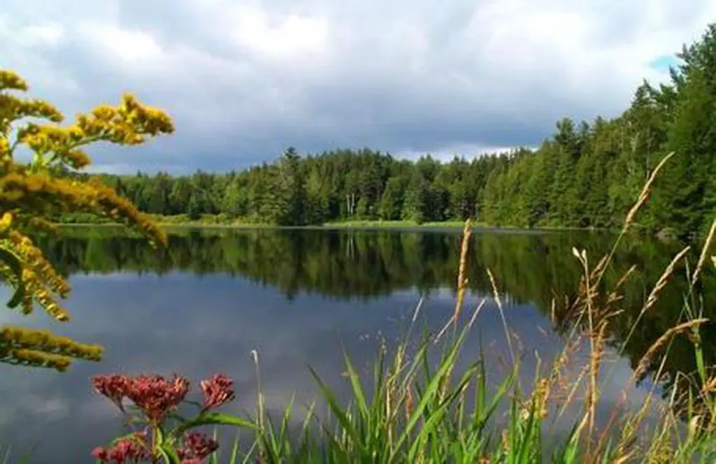 Hapgood PondPier fishingPhoto: Recreation.gov (RIDB) / public domain5.1 mi
- Bromley ForestRock climbing6.8 mi
- Griffith Lake TrailHikingNext door
- Appalachian Trail;Long TrailHikingNext door
- Baker PeakHiking~2 min drive
- Appalachian Trail;Long TrailHiking~10 min drive
- Lake TrailHiking~5 min drive
- Corridor 7 - Fr 30 to 11Hiking~4 min drive
- Old Job TrailHiking~4 min drive
- Appalachian Trail;Long TrailHiking~12 min drive
- Upper TrailHiking~6 min drive
- Dorset RidgeHiking~7 min drive
Also worth it near here
- Little Mud PondLake fishing~2 min drive
- Otter CreekCanoeingPhoto: Ahale at English Wikipedia, Public domain (via Wikimedia Commons)~3 min drive
- Jones Brook WestCross-country skiing~4 min drive
 Dorset MountainSummitPhoto: Wwoods, CC BY-SA 4.0 (via Wikimedia Commons)~6 min drive
- Emerald Lake Natural BridgeNatural arch~6 min drive
Conditions and forecast
Caution todayAgency alerts are in effect for this areaUSFS · checked 23 min agoDaily highs and lows, wind and the chance of precipitation at Start for the next 7 days, from the Open-Meteo model.
Ask about this place
Questions about Lake: conditions, access, timing. Answers say when something isn't known.
