Appalachian Trail;Long Trail
- 6.7 mi
- round trip
- 2,605 ft
- climb
- 2,863 ft
- high point
- Out and back
- route
- May–Oct
- best months
Is Appalachian Trail;Long Trail open right now?
Closure in the area
There's a closure order in Green Mountain and Finger Lakes National Forests. It doesn't name Appalachian Trail;Long Trail, so check the source for the area it covers (4 listed).
Klondike Fire Incident Report
Agency closure covering Green Mountain and Finger Lakes National Forests · USFS · Green Mountain and Finger Lakes National Forests
List of trail closures post-Hurricane Helene
Park closure covering Appalachian National Scenic Trail · NPS · Appalachian National Scenic Trail
Heavily damaged or closed trails
Agency closure covering Green Mountain and Finger Lakes National Forests · USFS · Green Mountain and Finger Lakes National Forests
Glastenbury fire tower is closed to public use
Agency closure covering Green Mountain and Finger Lakes National Forests · USFS · Green Mountain and Finger Lakes National Forests
Black Bears Frequenting the McAfee Knob Area in Virginia
Park alert covering Appalachian National Scenic Trail · NPS · Appalachian National Scenic Trail
As of · Source: USFS · Green Mountain and Finger Lakes National Forests. Agencies don't list every closure — check before you go.
This is a long, steep out-and-back on the Appalachian National Scenic Trail in Vermont, set within the Manchester Ranger District of the Green Mountain and Finger Lakes National Forests. The route starts at about 2,600 feet and climbs to a high point of 2,863 feet, with a total gain of 2,605 feet over the full 13.4-mile round trip. The steepest stretch comes at about 2.6 miles in, where the grade reaches 21 percent. Summer is the most comfortable time to go. Typical July averages from a nearby weather station in Peru run to a high of 75°F and a low of 56°F, and the station sits well below the trail, so temperatures on the high ground run cooler. The trip takes about six hours. Griffith Lake Trail and Peru Peak Shelter both lie about 0.3 miles away, and Lake is about 0.4 miles off. Otter Creek, a canoeing spot, is about 1.9 miles away.
Conditions and forecast on Baker Peak
Daily highs and lows, wind and the chance of precipitation at the summit and route start for the next 7 days, from the Open-Meteo model.
- Griffith Lake TrailHiking0.3 mi
- Peru Peak ShelterCamping0.3 mi
- LakeHiking0.4 mi
 Otter CreekCanoeingPhoto: Ahale at English Wikipedia, Public domain (via Wikimedia Commons)1.9 mi
- Lost Pond ShelterCamping3.1 mi
- BoulderingRock climbing4.2 mi
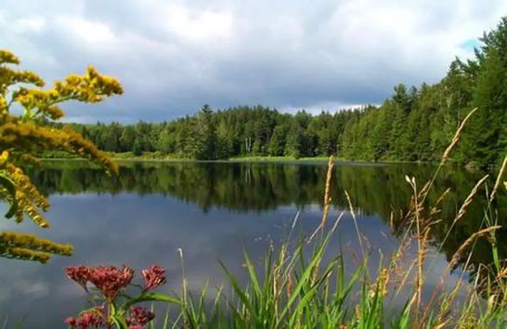 Hapgood PondPier fishingPhoto: Recreation.gov (RIDB) / public domain4.8 mi
- Bromley ForestRock climbing6.4 mi
Source: Roamze catalog (indexable pages within 10 miles, PostGIS distance)
- Griffith Lake TrailHiking · Next door
- LakeHiking · Next door
- Corridor 7 - Fr 30 to 11Hiking · ~3 min drive
- Appalachian Trail;Long TrailHiking · ~9 min drive
- Vista TrailHiking · ~5 min drive
- Baker PeakHiking · ~2 min drive
- Dorset RidgeHiking · ~7 min drive
- Appalachian Trail;Long TrailHiking · ~13 min drive
- Lake TrailHiking · ~5 min drive
- Old Job TrailHiking · ~4 min drive
Also worth it near here
- Little Mud PondLake fishing · ~2 min drive
- Otter CreekCanoeing · ~3 min drivePhoto: Ahale at English Wikipedia, Public domain (via Wikimedia Commons)
- Jones Brook WestCross-country skiing · ~4 min drive
- Corridor 7 - FR 30 to 11/30Mountain biking · ~5 min drive
- Emerald Lake Natural BridgeNatural arch · ~6 min drive
Best time to visit Appalachian Trail;Long Trail
Best months: May–October. Best months have typical highs of 55–85 °F, lows of 30 °F or warmer (32 °F where the station doesn't record snow), at most one snowy day and no more than 12 wet days.
Jan
27° / 8°
Feb
31° / 10°
Mar
38° / 17°
Apr
50° / 30°
May
64° / 42°
Jun
70° / 51°
Jul
75° / 56°
Aug
73° / 55°
Sep
67° / 47°
Oct
56° / 37°
Nov
43° / 26°
Dec
32° / 16°
Typical high / low (°F) and days with rain or snow, 1991–2020. Measured at Peru, VT, 3.8 mi away at 1,700 ft. The station sits about 1,200 ft lower than this place, so expect it a little cooler here. This station doesn't record snowfall. Source: NOAA NCEI U.S. Climate Normals 1991–2020.
Route details
- Distance
- 6.7 mi round trip
- Climbing
- About 2,605 ft
- Summit
- 2,867 ft
- Difficulty
- Hard
- Time
- About 2.5 hours
Questions about this route
How long is the Appalachian Trail;Long Trail on Baker Peak?
About 6.7 mi round trip.
How much elevation gain is on the Appalachian Trail;Long Trail?
About 2,605 ft of climbing round trip.
How hard is the Appalachian Trail;Long Trail?
It is rated hard.
How long does the Appalachian Trail;Long Trail take?
About 2.5 hours round trip.
Map and trail data © OpenStreetMap contributors
