
Spillway Campground
Campground
0.4 mi from the trail
 Photo: waterarchives, CC BY-SA 2.0 (via Flickr)
Overlook is a 1-mile out-and-back hike in Colorado's Pike and San Isabel National Forests, within the South Park Ranger District. The trail rises about 750 feet from a low point of 8,480 feet to a high point of 9,330 feet. It is an easy walk on a natural surface trail, and bikes are allowed. The most comfortable months are typically June through September. Typical averages from a nearby weather station at Lake George, about 0.2 miles away, put July highs near 77°F with lows around 46°F, while September cools to about 69°F with fewer wet days. The trail sits about half a mile from Spillway Campground and the Pine Cone Dome climbing area, with Cove Campground and The Icebox climbing area also within a mile.
Where it is: South Park Ranger District · Pike and San Isabel National Forests
Near: Woodland Park
Best months: May–September. Best months have typical highs of 55–85 °F, lows of 30 °F or warmer (32 °F where the station doesn't record snow), at most one snowy day and no more than 12 wet days.
Jan
33°
-1°
4 wet
Feb
36°
3°
4 wet
Mar
44°
13°
5 wet
Apr
51°
23°
6 wet
May
60°
32°
7 wet
Jun
72°
40°
8 wet
Jul
77°
46°
11 wet
Aug
74°
45°
12 wet
Sep
69°
37°
7 wet
Oct
57°
26°
4 wet
Nov
44°
15°
4 wet
Dec
33°
2°
4 wet
Typical high / low (°F) and days with rain or snow, 1991–2020. Measured at Lake George 8 Sw, CO, 0.2 mi away at 8,550 ft. The station sits about 800 ft lower than this place, so expect it a little cooler here. This station doesn't record snowfall. Source: NOAA NCEI U.S. Climate Normals 1991–2020.
Been here? Tell people how it was.
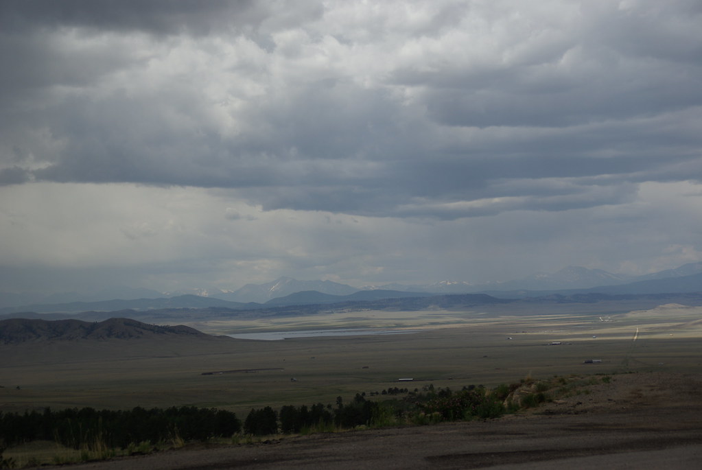 Puma PointHikingPhoto: bgautrea, CC BY-SA 2.0 (via Flickr)~16 min drive
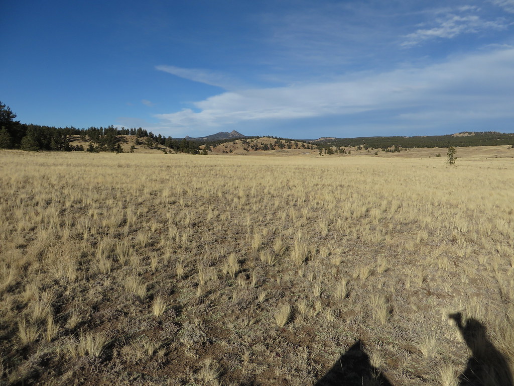 Hornbek Wildlife LoopHikingPhoto: Ken Lund, CC BY-SA 2.0 (via Flickr)~17 min drive
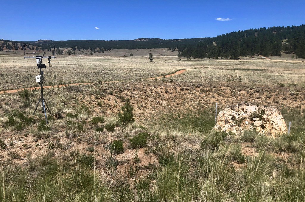 Sawmill-Boulder TrailHikingPhoto: roy.luck, CC BY 2.0 (via Flickr)~16 min drive
 Cabin Creek TrailHikingPhoto: Sack-Sama, CC BY-SA 2.0 (via Flickr)~25 min drive
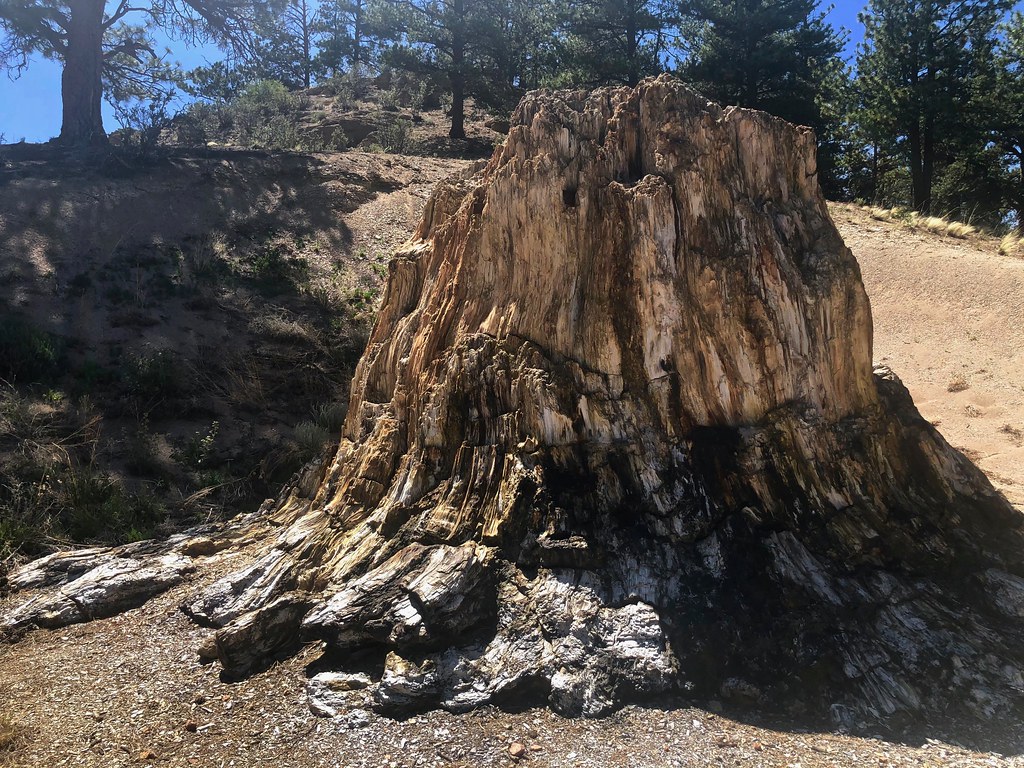 Boulder Creek TrailHikingPhoto: roy.luck, CC BY 2.0 (via Flickr)~16 min driveHammer Homestead TrailHikingPhoto: Sack-Sama, CC BY-SA 2.0 (via Flickr)~25 min drivePetrified Forest LoopHikingPhoto: Ken Lund, CC BY-SA 2.0 (via Flickr)~17 min drive
Also worth it near here
Daily highs and lows, wind and the chance of precipitation at Start for the next 7 days, from the Open-Meteo model.
Questions about Overlook: conditions, access, timing. Answers say when something isn't known.
Spillway Campground
Campground
 If it rainsJeffrey Beall, CC BY 3.0 · Wikimedia Commons
Cripple Creek District Museum
Museum
History museum in Cripple Creek, Colorado
Places © OpenStreetMap contributors, Places © Overture Maps Foundation · Photos: Jeffrey Beall, CC BY 3.0 (commons)
More in GuffeyNot on Roamze yet. Their page has how to reach them.
