Turkey Creek
At a glance
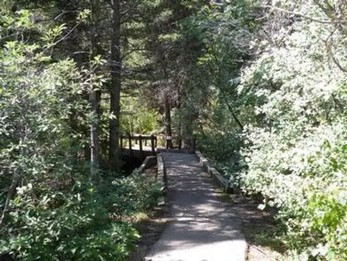
Turkey Creek is a 5.5-mile out-and-back hike on natural-surface trail in the San Carlos Ranger District of the Pike and San Isabel National Forests in Colorado. It climbs from about 10,100 feet to about 11,300 feet, a total gain of 1,057 feet. The Forest Service manages the land, and the trail is rated hard. The trail is open year-round, and both horses and bikes are allowed. The route is an out-and-back with a steady climb, so plan on the full distance and elevation gain for the round trip. Nearby, Bartlett and Greenhorn are both about 3 miles away. For camping, YMCA Camp Jackson is about 4 miles off, and St. Charles Campground is about 5 miles away.
- round trip
- 5.5 mi
- climb
- 1,057 ft
- high point
- 11,304 ft
- route
- Out and back
Where it is: San Carlos Ranger District · Pike and San Isabel National Forests
Near: Walsenburg
Been here? Tell people how it was.
 Hogback Nature TrailHikingPhoto: Jeffrey Beall, CC BY 2.0 (via Flickr)~40 min drive
 Lewis Creek TrailHikingPhoto: Kimaz2412, CC BY 2.0 (via Flickr)~35 min drive
- Snowslide TrailHiking~9 min drive
- Cisneros Trail 1314Hiking~9 min drive
- Medano PassHiking~36 min drive
- POLE CREEK SPURHiking~9 min drive
- BartlettHiking~5 min drive
- Pole CreekHiking~11 min drive
- Saint Charles TrailHiking~9 min drive
- LakeshoreHiking~10 min drive
Conditions and forecast
Caution at last checkAgency alerts are in effect for this area; a fire perimeter is near this locationUSFS, nifc_wfigs · checked 14 h agoDaily highs and lows, wind and the chance of precipitation at Start for the next 7 days, from the Open-Meteo model.

Ask about this place
Questions about Turkey Creek: conditions, access, timing. Answers say when something isn't known.
Local outfitters
- Journey Quest45 mi away
Not on Roamze yet. Their page has how to reach them.
