Mitchell Lick
 Photo: pseabolt, CC BY 3.0 (via Wikimedia Commons)
At a glance
Mitchell Lick is a moderate, out-and-back hike of about 4.8 miles in the Cheoah Ranger District of the National Forests in North Carolina, on land managed by the Forest Service. The trail gains about 809 feet in elevation, with the low point at roughly 4,164 feet and the high point at about 4,958 feet. The steepest stretch comes early in the route, with a grade of about 20% at about 0.2 miles in. The trail's natural surface allows bikes, and it stays open year-round. For the most comfortable conditions, aim for late spring or early fall. Typical averages from a nearby weather station run around 69°F in May and 73°F in September. Hooper Bald lies just 0.4 miles away, and the Huckleberry and Snowbird Mountain hikes are both within about a mile and a half. For an overnight base, Santeetlah Creek Campsites is about 4.5 miles off.
- round trip
- 4.8 mi
- climb
- 6,884 ft
- high point
- 4,958 ft
- route
- Out and back
- time
- About 4.5 hours
Where it is: Cheoah Ranger District · National Forests in North Carolina
Near: Maryville
Been here? Tell people how it was.
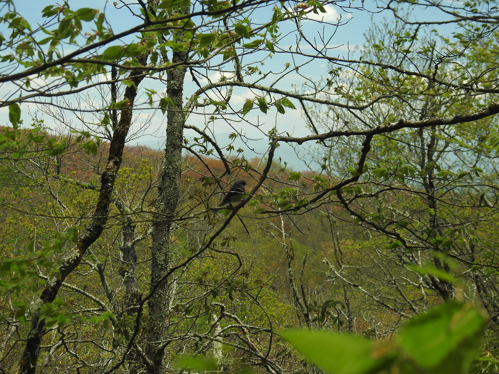 Hooper BaldHikingPhoto: MichaelGras, CC BY 2.0 (via Flickr)0.4 mi
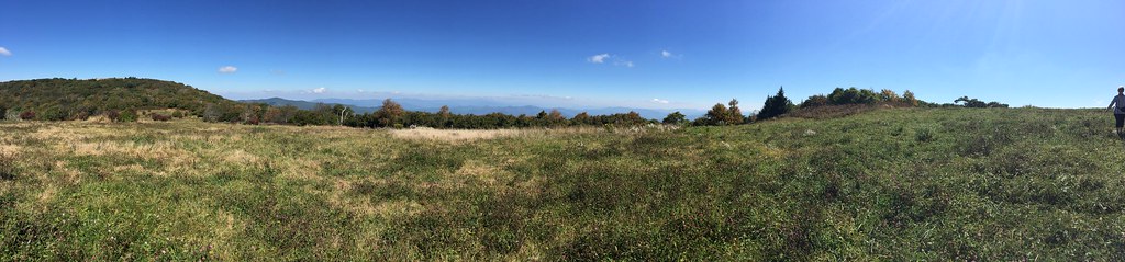 HuckleberryHikingPhoto: wordjunky, CC BY 2.0 (via Flickr)1 mi
- Snowbird MountainHikingPhoto: pseabolt, CC BY 3.0 (via Wikimedia Commons)1.5 mi
- Snowbird CreekCanoeing3.6 mi
 Santeetlah Creek CampsitesCampingPhoto: Ken Thomas, Public domain (via Wikimedia Commons)4.5 mi
 Snowbird CampingCampingPhoto: Idawriter, CC BY-SA 3.0 (via Wikimedia Commons)5.4 mi
 State Line CgCampingPhoto: Idawriter, CC BY-SA 3.0 (via Wikimedia Commons)5.4 mi
- Tellico RiverRiver fishing8.3 mi
- Hooper BaldHikingPhoto: MichaelGras, CC BY 2.0 (via Flickr)Next door
- Benton Mackaye -Cheoah RdHikingPhoto: pseabolt, CC BY 3.0 (via Wikimedia Commons)~5 min drive
 NORTH FORK OF CITICO TRAILHikingPhoto: Chris M Morris, CC BY 2.0 (via Wikimedia Commons)~14 min drive
 FODDERSTACK MOUNTAINHikingPhoto: MichaelGras, CC BY 2.0 (via Flickr)~7 min drive
 Wright's CreekHikingPhoto: MichaelGras, CC BY 2.0 (via Flickr)~4 min drive
 DEEP CREEK CONNECTORHikingPhoto: MichaelGras, CC BY 2.0 (via Flickr)~13 min drive
- Snowbird MountainHikingPhoto: pseabolt, CC BY 3.0 (via Wikimedia Commons)~3 min drive
- HuckleberryHikingPhoto: wordjunky, CC BY 2.0 (via Flickr)~2 min drive
- Deep CreekHikingPhoto: MichaelGras, CC BY 2.0 (via Flickr)~13 min drive
 Naked GroundHikingPhoto: Ken Thomas, Public domain (via Wikimedia Commons)~9 min drive
Conditions and forecast
Caution todayAgency alerts are in effect for this areaUSFS · checked 6 h agoDaily highs and lows, wind and the chance of precipitation at Start for the next 7 days, from the Open-Meteo model.
Ask about this place
Questions about Mitchell Lick: conditions, access, timing. Answers say when something isn't known.
Local outfitters
- GSM Outfitters36 mi away
- Hurshel's Outfitters42 mi away
Not on Roamze yet. Their page has how to reach them.
